Two Large Planes Flying Parallel, Chiloquin, OR. Is it Legal? Yes.

Mick West

Administrator
Staff member
20160709-134200-hgmwo.jpg

Patrick Roddie posted a video and asked me to debunk it. The video shows two large planes flying parallel. Roddie seems to assume that the planes are at the same altitude, and asks "is this legal?" He also helpfully gives the time as "about 12-ish" (which would be PDT, hence about 19:00 UTC)

MJ Bournon has already posted two likely planes in a comment on the video:
13584927_315897475419061_651618746215546221_o.jpg

These are a good visual match for the planes in the video, when Roddie zooms in on the upper plane you can see the red Emirates logo under the plane, and the distinctive thick bodied shape of the A380
20160709-135143-d6emu.jpg

20160709-135215-emsn0.jpg

To the question "is this legal", the simple answer is "yes", and most high altitude commercial air traffic in the US (and most of the world) operates under RVSM, meaning that planes must be separated vertically by a minimum of 1000 feet.

It's interesting here that the planes have only a 1,000 foot separation though as in the FAA's procedures for RVSM (page 253), they show that planes flying in opposite directions are interleaved, so plane flying in the same direction should be 2,000 feet apart.
20160709-141517-25lo1.jpg

However these interleaving guidelines are largely intended for east/west traffic, and breaks down somewhat when traffic is flying to the magnetic north or south, and is especially problematic for planes flying over the north pole region. A plane cannot simply hop 1000 feet up or down as it goes from 179° to 180°. Also you've still got to contend with all the east-west traffic. So basically the "correct" altitude for roughly north/south traffic is whatever ATC tell you, to avoid other traffic.

Magnetic North is also not the same as true north. In that region, the magnetic north is about 14°, putting magnetic south at around 194°.
20160709-142132-cphcx.jpg

At that point both planes were on a track of 188°, just 6° from magnetic south, technically eastbound, so FL380 (38,000) would have been a preferred altitude.

And if we look back in time a bit (see attached KML files) we can see that both planes were actually at 38,000 feet a few minutes earlier, however they were 13 miles apart. Before they came together for their approach to SFO, the Emirates A380 climbed 1000 feet to 39,000 feet, and then just after passing Roddies viewpoint in Chiloquin the A340 dropped 1000 to 37,000 feet.
20160709-144322-asjuy.jpg

So Roddie only saw the planes during that brief period when they were (quite legally) flying 1,000 feet apart (vertically). The Lufthansa plane was probably beginning it's descent during that video.
 

Attachments

  • FlightAware_DLH488_EDDF_KSJC_20160706.kml
    67.6 KB · Views: 1,069
  • FlightAware_UAE225_OMDB_KSFO_20160706.kml
    56.5 KB · Views: 914
Last edited:
image.jpeg
This happens all the time. Aircraft on converging tracks are routinely separated under radar control by climbing or descending 1000 feet.

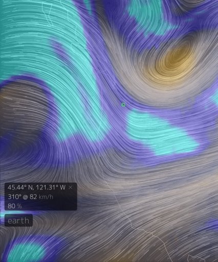
The Earth website also shows a heavily saturated, contrail producing atmosphere at the time.
 
Last edited:
Roddie is having doubts about the planes being 1000 feet apart:

https://www.facebook.com/PatrickRoddie/posts/10157249210030595?pnref=story
20160710-163059-qt2ro.jpg

Relative height of different planes can be difficult to discern from such an image, but we can get some useful baselines from the length of the planes, at about 38 seconds into the video the planes are at right angles to the viewer, so their lengths will be accurate measures. The A380 is 238 feet long, and the A340-300 is 208 feet long. If we assume that the planes are directly one above the other, and given the view angle, then that's at least 1,000 feet:
20160710-164148-elta3.jpg

However we should not make the mistake of assuming that "closer to the horizon" always means lower. In this case as the planes are about ten miles from the camera, and seven miles up, it's difficult to say with certainty which is higher from a simple visual examination. So in this case we can simply say that the image is entirely consistent with the planes being around 1,000 feet apart.
 
Last edited:
Has Patrick Roddie removed the pages from Facebook? I just get a "Page Not Found" link.

No surprise there as he also removes comments from the video on You Tube. I posted some RVSM videos which I thought would have been useful for his followers. I made no link to Metabunk or this thread.

Just to highlight that he is asking for answers in the video but removes them. Why Patrick?

OK all you FAA experts. Is this legal? (laughs). I don't think so?

Pilots, anybody, Mick West. Explain this garbage?
Content from External Source


Two of the RVSM links that were removed.


Last edited:
I've re-posted the two links on his You Tube video. Surely if he is seeking answers then he will allow the RVSM videos to remain?

upload_2016-7-11_9-57-43.png
 
Did Patrick soften towards you, Mick, between posting this video (where he calls you a "disinfo agent" and this website "metajunk") and doing the discussion with you earlier this year?

Does he still delete reasonable but oppositional comments from his facebook/youtube?
 
Did Patrick soften towards you, Mick, between posting this video (where he calls you a "disinfo agent" and this website "metajunk") and doing the discussion with you earlier this year?

I think he understanding that I'm just a regular person who disagrees with him, but it's hard to tell.

Does he still delete reasonable but oppositional comments from his facebook/youtube?
Try posting one and see :)
 
Back
Top