Mendel
Senior Member.
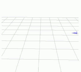
It immediately motivates the description of the aircraft changing heading; and since this is 100% simulated, we know that the aircraft causing this vector to flip keeps flying straight, if I understand @Mick West correctly.Wow that flip is crazy. You can see the vector pointing consistently in the same direction basically. In your sim 340° of heading until the flip. So it's a straight line and then inverts direction.
Last edited: