
Thanks - I hadn't come across that cloud formation but that sounds spot on:
http://nephology.eu/cirrus/cirrus-radiatus
I just checked the date. It was Jan 2 at about 3.15pm, facing southwest. Looking at the satellite view from a bit earlier that day you can see the bands of cirrus ahead of the cloud which was moving up from the south. The cloud "rays" were aligned SW-NE so they would have been pointing almost directly at the camera, appearing to converge due to perspective.
View attachment 11070
Dude... Which satellite view did you use in this post? I am a keen cloud-spotter and have always wanted to use a satellite that shows up clouds in such amazing detail!
 Will get posting some photographs soon!
 ")
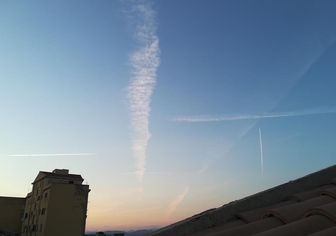
![IMG_2067[1].jpg](/data/attachments/36/36943-dd027ba42e90d5be19f04ad0e31b9db6.jpg?hash=3QJ7pC6Q1b)
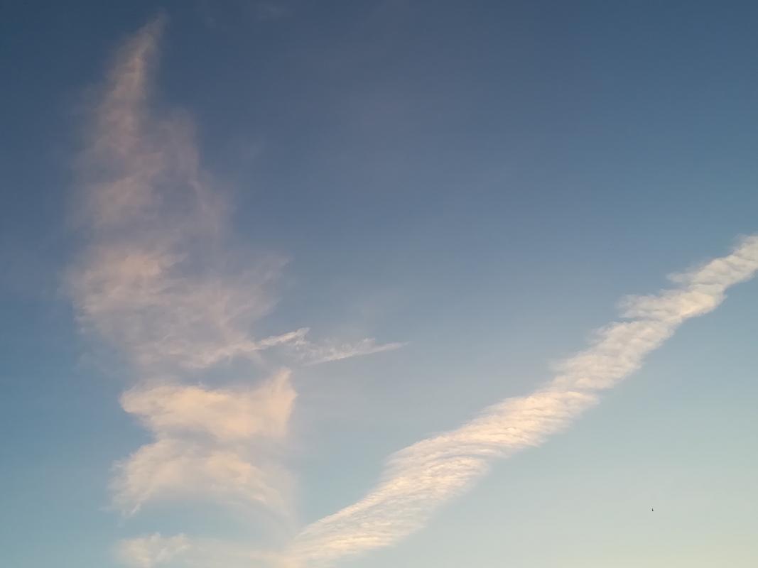
![IMG_2069[1].jpg](/data/attachments/36/36945-3abbe60857a8803ed692add6fbbe09bd.jpg?hash=OrvmCFeogD)