There are 2 dams, one north and one south, that could be opened to release some of the upper lake level.
View attachment 24996
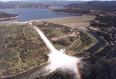
Nether has a channel designed for it, would be disastrous for the immediate downstream communities, but the option is there to spread the flow to 2 different areas far away from the dam. One would empty into Bidwell Canyon and the other drain south into a creek system. Bidwell Canyon saddle dam foot is apparently at 875 feet in relation to the main spillway, Parish camp foot is at the 895 foot level. According to the
Height from base and
Crest elevation for both from the following PDF. Both crest at 922 to match the main dam.
I have no idea if it is at all possible, but the south dam Bidwell Bar Canyon Saddle Dam is to very flat terrain relative to the spillway. It may be totally wrong to do this, it would be essentially the same horrible situation of potential back cut into the reservoir, but if that was actually taking place at the spillway the south saddle dam seems like it would flood the least individual landowners before entering the yuba watersheds management system.
I wonder if they have ever considered relocating the spillway entirely to one of those more distant saddles below lake level than the one they used next to the dam?
Also, I got confused in GE as Parish camp Saddle Dam empties into Bidwell Canyon and Bidwell Bar Canyon Saddle Dam empties to the south foothill slopes, creeks leading to the yuba river. It seems a bit odd how they are named but the documents confirm the locations.
External Quote:
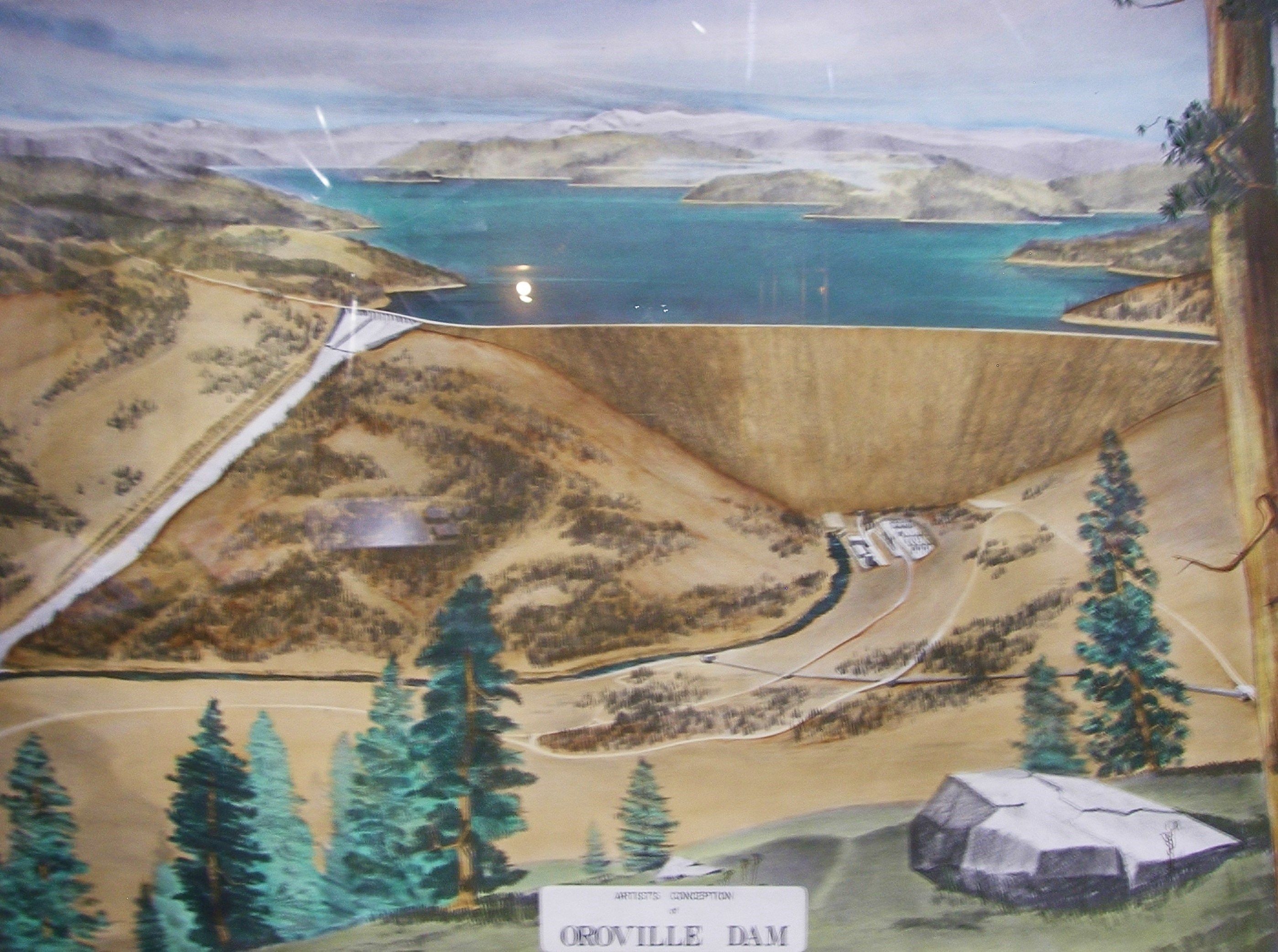
2.1.3 Saddle Dams Saddle Dams include Bidwell Canyon and Parish Camp and complement Oroville Dam in containing Lake Oroville. Bidwell Canyon Saddle Dam is located two miles southeast of Oroville Dam, consisting of two separate embankments. Parish Camp Saddle Dam is located on the West Branch arm of the reservoir and is 12 miles north of Oroville Dam.
External Quote:
Table A.2.1-3.
Saddle dams technical data. Bidwell Canyon Saddle Dam
Type Earth and rockfill
Height from Base of Dam 47 ft
Crest Elevation 922 ft msl
Crest Width 30 ft
Crest Length 2,270 ft
Embankment Volume 175,000 cubic yards
Side Slope 2.5:1
Parish Camp Saddle Dam
Type Earth and rockfill
Height from Base of Dam 27 ft
Crest Elevation 922 ft msl
Crest Width 30 ft
Crest Length 280 ft
Embankment Volume 11,000 cubic yards
Side Slope 2.5:1
Source: DWR Bulletin Number 200 – Volume III and Final Construction Report
PDF here