Well, they measured a 6 foot rise at 3 miles but we rejected that experiment due to lack of sufficient data. Maybe they controlled for refraction better - I don't know because they don't say. I don't use that as the basis of my information so not sure why it's relevant. We want to do better right?
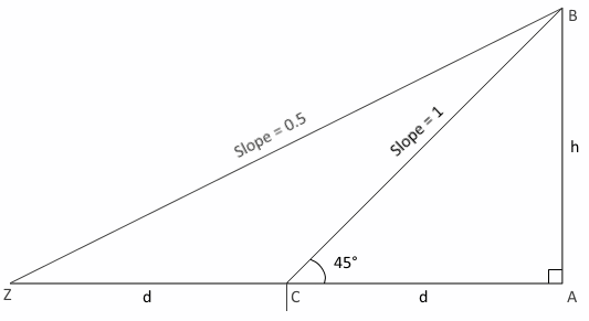
However, I've measured the curvature at ~6000 miles, it's entirely conclusive. Just find the subsolar point (where Sun is directly overhead) at your astronomical sunrise time, the altitude angle to the sun at a point halfway between the two is always 45°. On a flat Earth the Sun should be at about 26.565° at your location because you doubled the distance from the subsolar point to 45° point. Curvature confirmed with just a trivial slope observation:
So laugh away but I'll take my 26 full degrees of error over a few feet deflection over a heavily refracting lake where you have the laser going all over the map - from hitting the bottom of the boat to bending up into the air entirely destroying your margin of error.
Mick's assumption is that the refraction would be fairly consistent over the observation and measurement period - doesn't seem like that was the case.
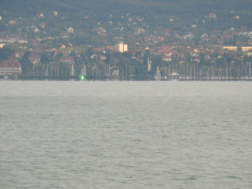
Because we know you are experiencing heavy refraction - you gave a picture of the laser hitting the bottom of your boat so it's either refracting down there or you've got the laser pointing down.
And you show you are taking measurements in a moving boat, this is not valid data. You asserted it doesn't affect the measurement but I asked how you know it doesn't. You need to show how that can be accurate.
We need sufficient evidence to overcome these problems or we just don't have a convincing demonstration.
That just has times unless I missed something - we need the measured height data and some evidence showing how you gathered it at each point. If the methods aren't even consistent the you have a problem.
Is the video footage available anywhere yet?
I appreciate you put a lot of hard work into this. I don't think we have all the information yet so here is hoping that some of this can be cleared up in the videos and additional information. But this is where we stand right now with what we have.
I'll try to be more patient.

")