Mick you have most of the materials I do so you know how we can evaluate this last measurement..
we will have something like this, that will define
1. 0km, 1.25m, tape measure from sea surface
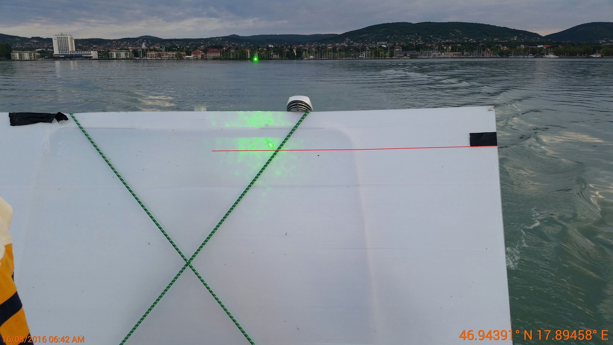
2. 0.75km, 1.32m, photo with GPS on whiteboard with marking (and we make the other colored lines for calculation)
5. 1.86 km, 1.Xm, photo with GPS on whiteboard with marking
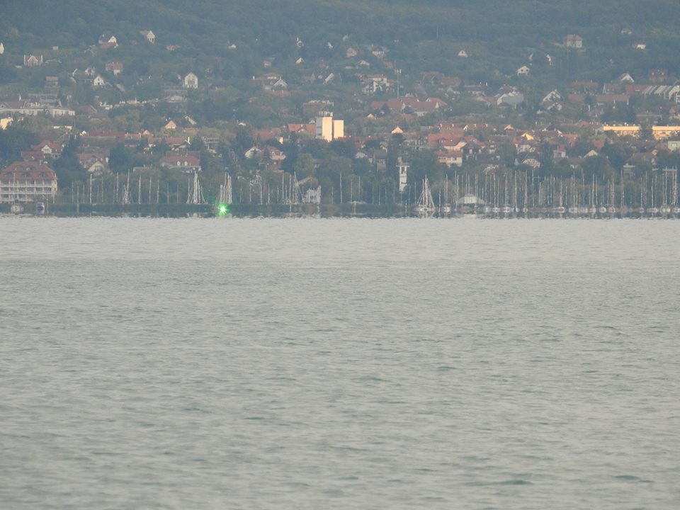
X. 5.6km, 1.5 to 1.7, estimated height of camera with "direct hit"
Y. 6km, 1.7m estimated height of camera with "direct hit"
We are proving the measurement points where the laser beam hit at max 1.7m was NOT possible on GE curved surface water model.
SO EASY MICK: we can exclude the possibility of seeing the laser from a certain distance just by placing them on your drop chart!
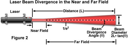
THIS IS WHY I AM ASKING FOR THE CONFIRMATION OF THE LASER LEVELING ACCURACY
1. laser level at 0kms
View attachment 20825
laser level at 0 kms
View attachment 20826
2. laser level at calibration 717 meters: (we will have all the pictures prepared with the coloured measuring lines for easy evaluation)
View attachment 20827
5. laser level at 5.8 kms (these are some of the Samsung pictures with GPS stamp, others have are coded but not stamped)
View attachment 20828
the map is not complete here we have some of the Samsung pictures
View attachment 20829

")