Trailspotter
Senior Member.
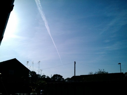
FlightAware says it goes to Washington Dulles Intl (KIAD).A mystery KLM flight...
View attachment 10943

FlightAware says it goes to Washington Dulles Intl (KIAD).A mystery KLM flight...
View attachment 10943
")


This reminded me of the old Steve Martin arrow-through-the-head gag...
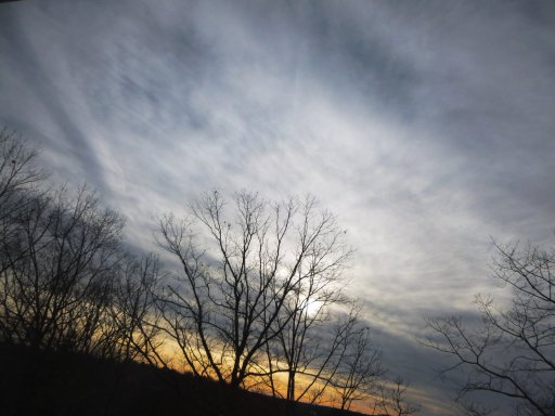
There are some beautiful mountain peaks just outside of the tiny town of Cooke City, MT
View attachment 11256
I generally wait 'til the "'New Year' Massive Crowd"I was skiing on Pebble Creek trail over the New Year...always like the dark rocks of Barronette peak et al...
You need a picture of a contrail and a wolf together for the win!
 dissipates...
The aircraft was sufficiently lit from below by the setting down Sun to confirm its livery:
View attachment 11259
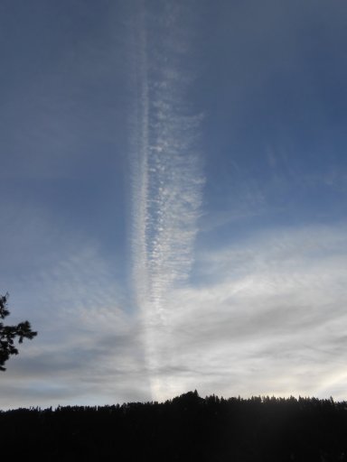
This contrail separated into two parts in 6 minutes this morning. I am sure there was not a second plane. 8:54 and 9:00 this morning north of Missoula MT.View attachment 11310
This contrail separated into two parts in 6 minutes this morning. I am sure there was not a second plane. 8:54 and 9:00 this morning north of Missoula MT.View attachment 11310
A question to the pilots: what is the red light at the bottom of the plane?
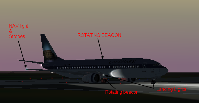
Could be the beacon. I've taken six shots of this plane and the red light was seen only in one on them. Interestingly, in the next shot five seconds later there were lights at the wingtips:I'm not a pilot but I believe that is the rotating beacon which is illuminated while the engines are running?
View attachment 11329
https://cpteg.wordpress.com/tag/rotating-beacon/
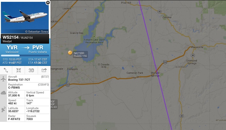
I think the longer of the two trials is UA941 Heathrow to New York Boeing 767-322,, reg -N655UA @30,000ft
The short is likely to be BA297, Heathrow to Chicago. Boeing 777-336, reg G-STBI also at 30,000ft
(although I may be wrong as there was a Lufthansa Airbus 330 also around at the time and this is my first attempt at this kind of identification. So If I'm wrong feel free to correct me)
")
thanks mate, half right, so not bad for a first attempt.You have asked for it
Ooops @Mick West I got the wrong thread? Should this actually go here instead? https://www.metabunk.org/threads/photos-of-clouds-and-skies-that-you-took-yourself.2900/
Nah, there's some overlap. I get confused at the which thread to use myself.
Cheers.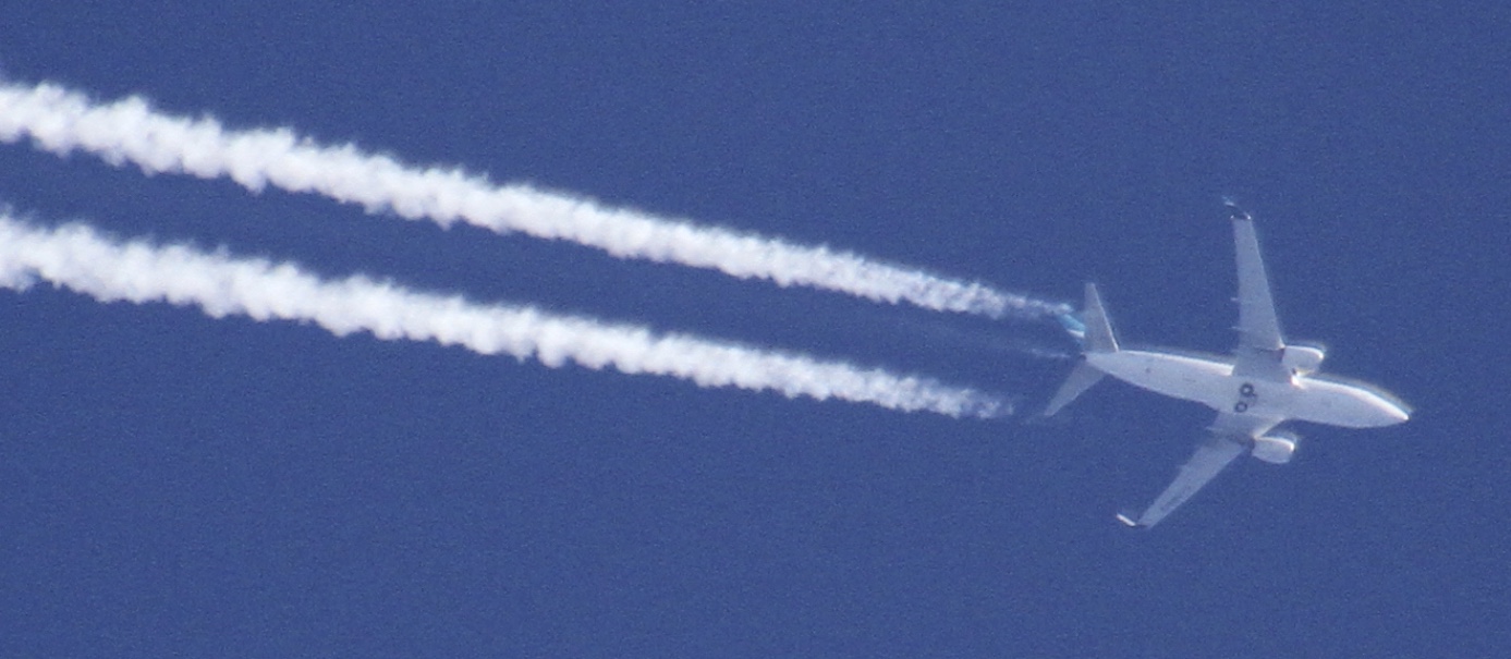
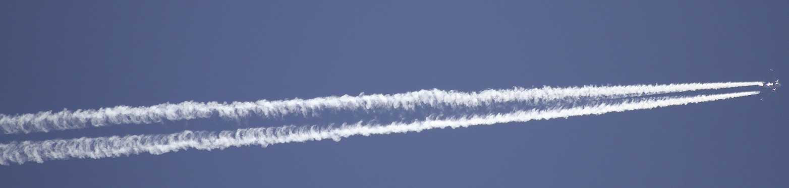
Looks like I got a little drain action there
I don't think it's APU exhaust, as it was only there for a few seconds. In a sequence of photos from 1:36:47, 1:36:57, 1:37:01, and 1:37:15, it only appears in the middle two photos, so it was leaving a trail for between 4 and 30 secondsIs that not from the APU?