Photos of Planes and Contrails (That you took yourself)

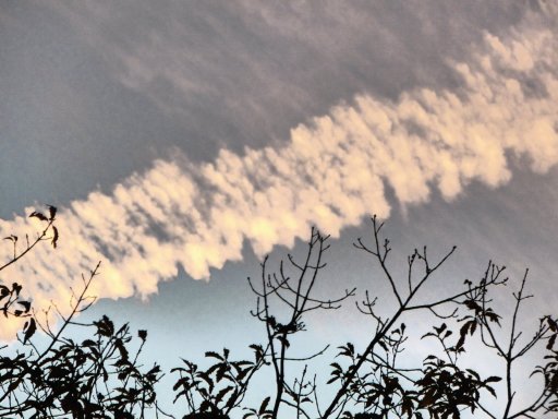
P1000559.JPG

P1000558.JPG

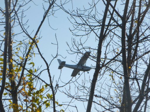
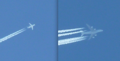
and my first semi-clear airplane! (the guy at RadioShack was right, its not that easy to find a plane in you camera, zoom and still stay steady enough for a clear shot :(

P1000505.JPG
 
P1000559.JPG

P1000558.JPG

and my first semi-clear airplane! (the guy at RadioShack was right, its not that easy to find a plane in you camera, zoom and still stay steady enough for a clear shot :(

P1000505.JPG
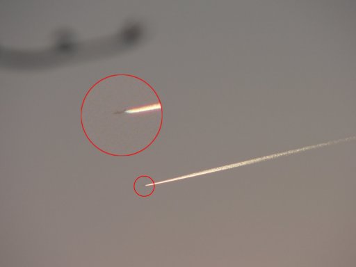
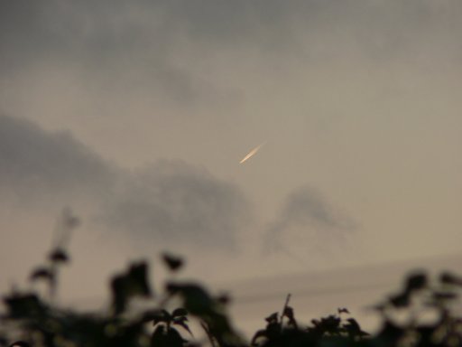
There's nothing better than a contrail heading off into the sunset, (or sunrise) those are always cool :)
 
Took these pictures just after the Mississippi State vs Texas A&M game on Saturday October 4th in Starkville Ms. Didn't have a chance to look up on flightaware what flights they were.

IMG_0743.JPG IMG_0744.JPG
 
We had very clear skies here today in the southern UK, with low humidity so contrails were not persisting. However around sunset the short contrails were really standing out in the clear sky so I thought I'd see just how far away I could see a plane with a short contrail.

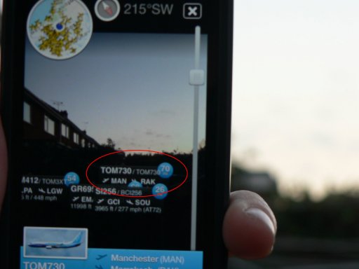
First of all, this one was passing by to my west, heading south from Manchester to Marrakesh (Thomson flight TOM730, a Boeing 737):

thomson1.jpg

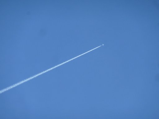
I could follow it well to the south, brightly lit by the setting sun:

thomson2.jpg

Here you can see the screen of FlightRadar24 showing the distance to the plane as 70 miles (I couldn't get both in focus at once!)

thomson3.jpg

And by the time the plane was hidden behind the nearby houses, the distance was actually 75 miles, with the plane well out over the English Channel. If it wasn't for that chimney I reckon it might still have been just about visible at 100 miles.

thomson4.jpg
 
Last edited:
And another one, which flew almost directly overhead: Alitalia AZ610 from Rome to JFK (an Airbus 330):

P1180765.JPG

Ten minutes after I took that photo with the flight almost directly overhead, it was 81 miles away, just the other side of the Welsh border, but still just about visible with the naked eye catching the last rays of the sun. Not bad for such a short trail:

alitalia.jpg

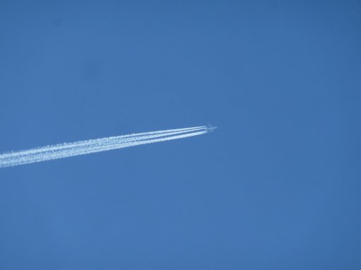
And a bonus photo - just before I took that last shot, coming the other way was an Atlas Air cargo flight from Chicago to Stuttgart (flight 5Y8250), at 41,000ft, leaving much longer trails than the Alitalia flight at 36,000ft, although still not persisting.

Contrail spotters will recognise what plane was laying these beauties in an instant...

atlasair.jpg

(contrast enhanced on that one, obviously!)
 
Last edited:
at work i watched this wondered where it was from and heading my poor fligtradar24 skills a dam slow internet has not helped If anyone wishes please help i'd say was flight from Avalon or code AVV and my camera time is right atm

IMGP4159 %28Large%29.JPG

IMGP4148 %28Large%29.JPG

interesting hour later the original 14.05 trail had dispersed into thin streak of cloud

IMGP4170 %28Large%29.JPG
then a second flight out or in of avalon AVV over Portphillip bay later that afternoon

IMGP4174 %28Large%29.JPG

i'd say this is the flight track,,,er well my best guess i was looking north from Frankston area and think it was a jetstar melbourne to Sydney

Captureavv2.png
 
Melbourne is 11 hours ahead of GMT at the moment, so that first shot (second on the post) was at 03:05 on October 30.

Which way were you facing in those shots, @derwoodii - was that still over the bay as well?

If so it was probably QF64 from Jo'burg to Sydney: upload_2014-10-31_15-15-54.png


The later shot, 16:30 your time, 05:30 GMT, could have been either TT254 or VA859 Melbourne to Sydney, but that trail looks older to me, and heading east to west, so might it have been this one from Auckland to Perth?

upload_2014-10-31_15-22-4.png
 
And here's one I snapped on my lunch break.

image.jpg

That's Qantas QF9 from Dubai, descending to Heathrow. About 4,000ft up in that photo.
 
Last edited:
We didn't see the conditions for contrail formation until about 3:00 pm, a little farther north in Bakersfield, it wasn't until around 5 that we had persistence, it made for a nice sunset. It was sad to see so many threads like this throughout the day.
losangeles.jpg
I like the comment that says one did a u turn round the sun but I was too discouraged to take a picture and actually have some evidence of this happening so people didn't think i had misinterpreted something or made it up. mmmm
 
Melbourne is 11 hours ahead of GMT at the moment, so that first shot (second on the post) was at 03:05 on October 30.

Which way were you facing in those shots, @derwoodii - was that still over the bay as well?

If so it was probably QF64 from Jo'burg to Sydney: upload_2014-10-31_15-15-54.png


The later shot, 16:30 your time, 05:30 GMT, could have been either TT254 or VA859 Melbourne to Sydney, but that trail looks older to me, and heading east to west, so might it have been this one from Auckland to Perth?

upload_2014-10-31_15-22-4.png


thanks, that be them i had wondered why trails were forming low over melb on a warm spring day but these 2 were very high 37k and the air be plenty cool up there, i often forget that my city may not be the origin or destination and that fly overs occur, just dont notice less they leave a mark.

Is there a noob tutorial how to track out trails by tracker24 eg plug in air space time of day and cull for ceiling heights etc,,, i need one as fluffed about for hours with no luck
On the flightradar24 you can set up filters from the menu at the left of the map screen. If you're looking for a contrail, set an altitude filter, say, above 28000ft, which removes the local low-altitude clutter from the screen.

Then you can select "playback" and plug in the date and time (it defaults to UTC time so you need to adjust for your time zone).

That's really all there is to it, remembering that trails are often further away than you'd think — one low down near the horizon could be 100km away.
 
An IL-76 snapped from 28,000 feet (if I remember correctly). The Soviet Russians were in on the conspiracy all along :D.

IL76.jpg
 
On the flightradar24 you can set up filters from the menu at the left of the map screen. If you're looking for a contrail, set an altitude filter, say, above 28000ft, which removes the local low-altitude clutter from the screen.

Then you can select "playback" and plug in the date and time (it defaults to UTC time so you need to adjust for your time zone).

That's really all there is to it, remembering that trails are often further away than you'd think — one low down near the horizon could be 100km away.

thanks, I had done or attempted most of that but reckon need to practice more and then my data speed seems to jam or lag the pages,,, need to kick the son of his games soaking up the speed.
 
Some early morning contrails, taken from the kitchen of my former apartment, 2006 and 2007 (all October, Almere, NL, looking east). Some fresh, some already turned into cirrus, and some in between. But all of them rather persistent.Contrail 2.jpg Contrail 3.jpg Contrail 4.jpg


And a more recent one from the roofdeck (Amsterdam, October 2013, looking south-east)

IMG_1025.JPG
 
Last edited:
A bit of a silly one, but it caught my eye on the way to work this morning: the Shard in rocket-launcher mode ;)

shard.jpg

Seriously, though, a nice illustration of how a plane in level flight can appear to be going vertically if it is flying towards you. I think it was this one:

upload_2014-11-6_21-8-1.png
 
Last edited:
holiday snaps as been sailing past 6 days off QLD whitsundays http://en.wikipedia.org/wiki/Whitsunday_Islands
you had to be quik as they dissipated fast as laid down

Didn't worry about tracking flights i was in holiday mode just taking the opp

Over Pentecost island

IMGP4305 - Copy.JPG

Over Whitsunday Island
IMGP4228 - Copy.JPG

Over Hamilton AP as virgin lands from the north a seen trail above it

IMGP4314 - Copy.JPG
 
A couple of hours later, facing the other way. A nice illustration of where the routes converge (just west of Reading) to head west.

image.jpg

Actually the trail coming in from top centre was Paris to Dublin, and the one from top right was Amsterdam to Willemstad in the Caribbean.


Edit: and a panorama showing how the entire sky is filled with trails of varying ages. Pretty impressive stuff!

image.jpg
 
Last edited:
Yes, clouds are aerosols, and produce attractive colours at sunrise and sunset. Not sure about the word "spraying", though, which implies intent.
Maybe if we consider a jet engine to be a spraying device, spraying out exhaust that turns moisture into aerosols, then maybe it is sprayed aerosols :p
 
Yes, clouds are aerosols, and produce attractive colours at sunrise and sunset. Not sure about the word "spraying", though, which implies intent.

@hiilikeyourbird - you disagree with this - can I ask what bit?

Clouds are certainly aerosols - the dictionary definition of aerosol in this context is a colloidal suspension of particles dispersed in air or gas - and clouds are particles of water suspended in air.

Clouds do produce colours at sunset and sunrise as per my link above on Atmospheric Refraction.

so I guess that you disagree with Trailblazer not thinking there is any intent to "spray" contrails?
 
22 degree halo, nacreous clouds and contrail shadows. 10:15 am, Bakersfield, CA, Dec. 3. 2014

DSCF0436.jpg
 
Last edited:
After clear blue cloudless (and contrail-less) skies yesterday morning, conditions gradually got better for contrail formation through the afternoon, ahead of a band of rain this morning. There was quite a narrow, and relatively low, "window" for persistent contrails, and I caught this one from when it formed to when it drifted out of sight more than half an hour later:

This is the plane responsible, a Martinair MD-11 flying from Amsterdam to Miami (flight MP1161) at 30,000 feet:

P1180855a.jpg


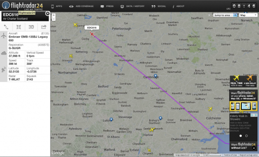
The rapidly dissipating trail it is crossing is from a Cargolux 747 (flight CV661 fro Houston to Luxembourg), flying at 39,000ft, just out of shot. Here's a FlightRadar screen grab of the crossing point:

fr24.jpg


While the trail at 39,000ft quickly dispersed, the one at 30,000ft persisted as it was blown south by the wind

3:05pm, two minutes after the first photo above:

P1180857a.jpg

3:12pm - note the two higher planes which are only leaving very short contrails. On the left, BA7031, Glasgow-Toulouse, at 35000ft, and on the right, EI345, Zurich-Dublin, at 38,000ft:

P1180868a.jpg

3:22pm:

P1180878a.jpg

By 3:31pm, it had drifted a long way to the south. The fresh trail crossing it here was ZB458 (Birmingham - Lanzarote) which was still climbing, and reached 30,000ft about three minutes before this photo was taken: you can see where the trail fades in just before it crosses the old trail. If the cloud wasn't hiding it, you'd probably see it fading out again as the plane continued to climb:

photo (29).JPG


I've just got hold of a digital SLR so hopefully I'll be able to get some better shots than this old 5mp Lumix soon!
 
Last edited:
Back
Top