Photos of Planes and Contrails (That you took yourself)

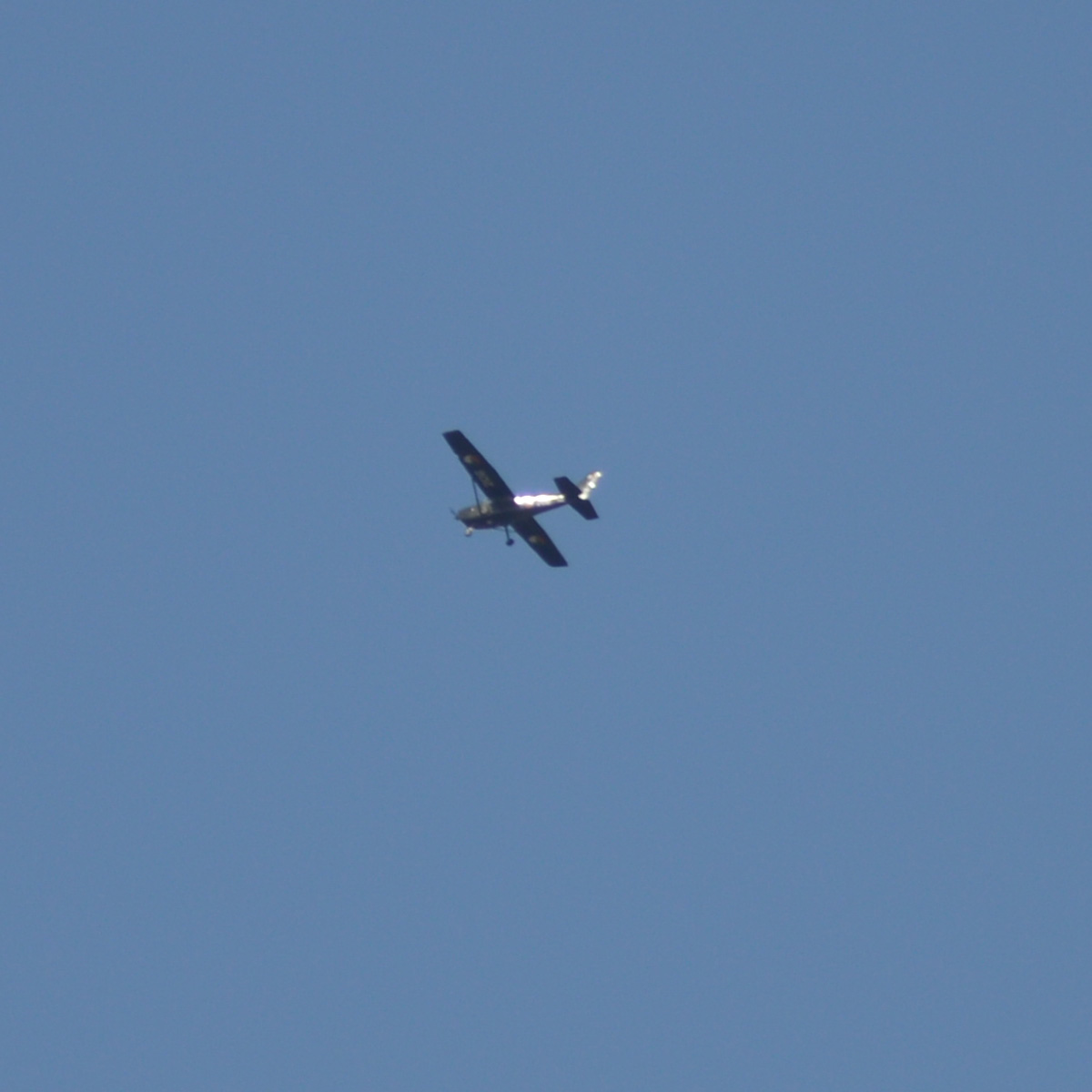
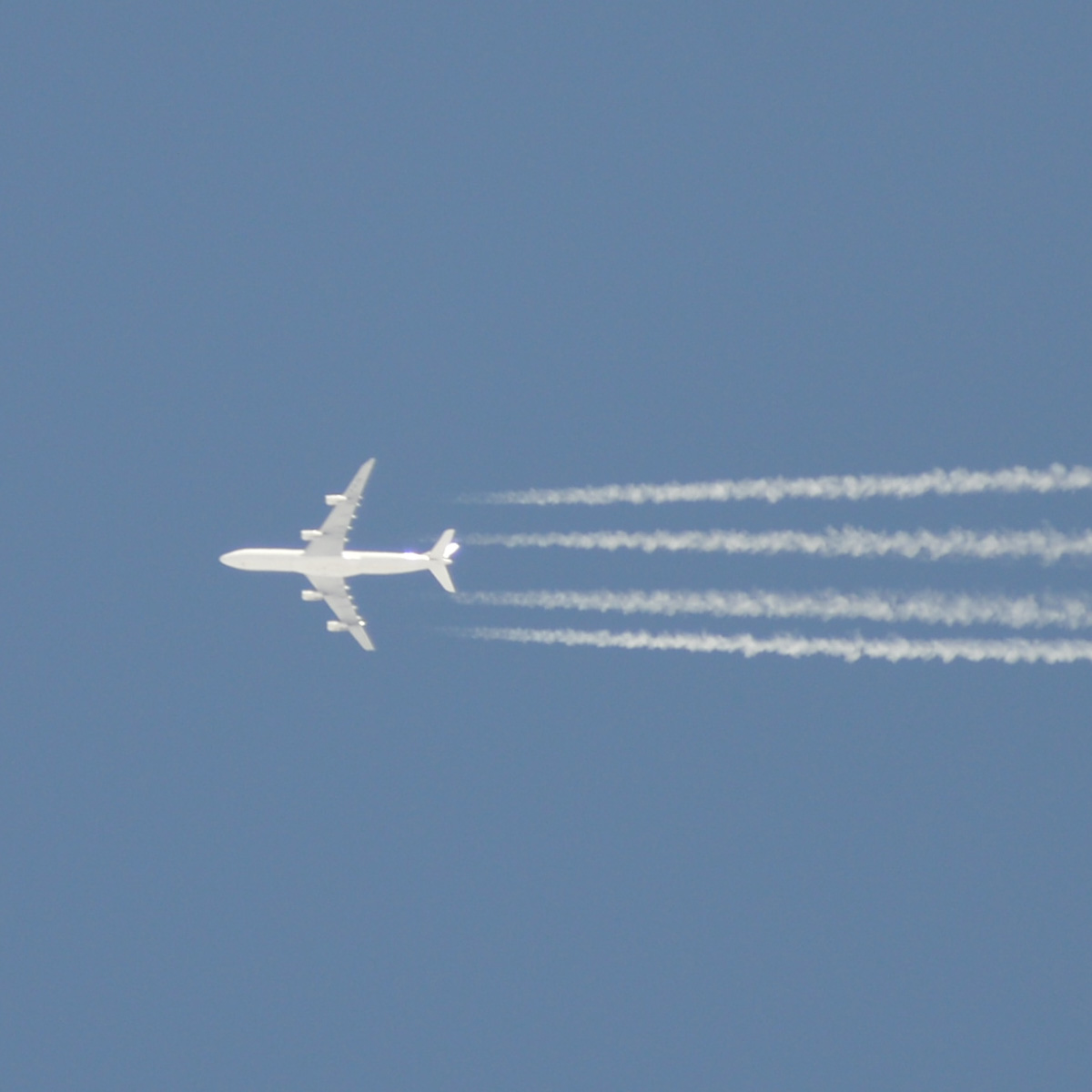
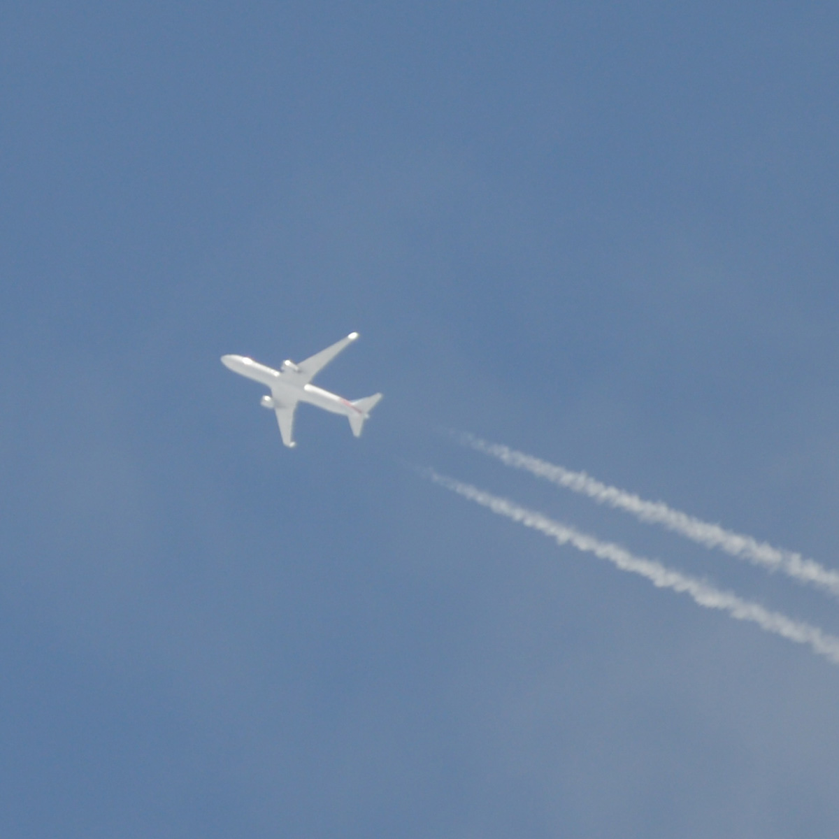
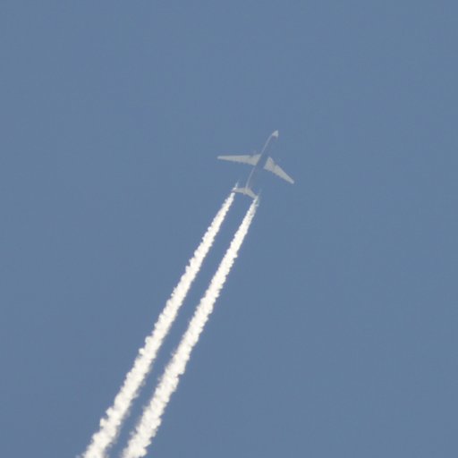
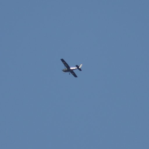
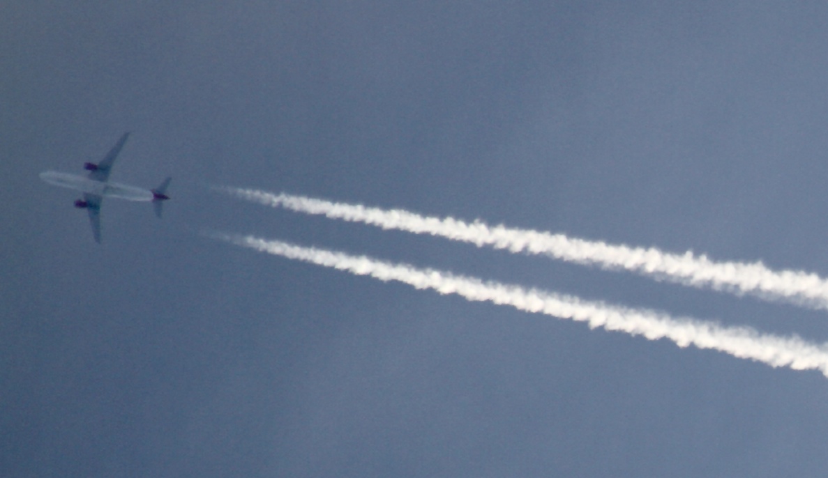
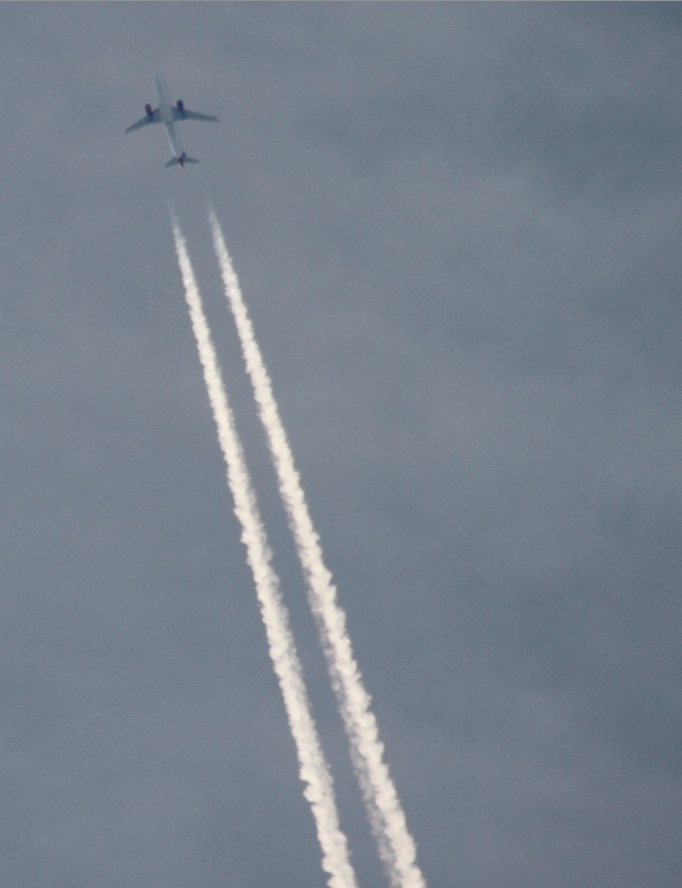
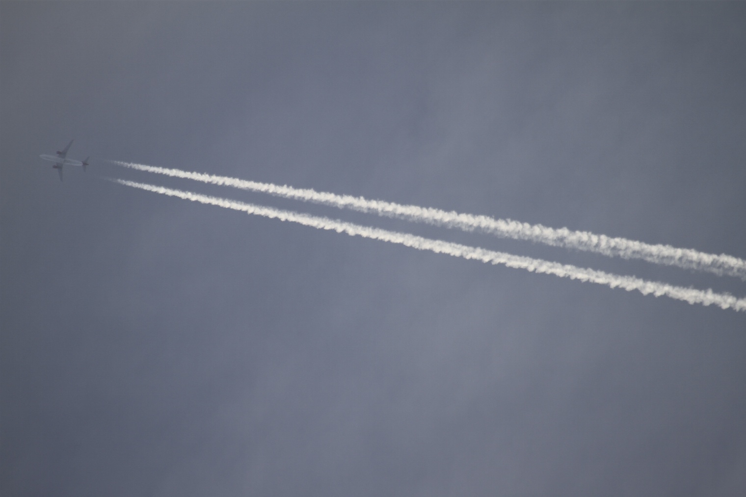
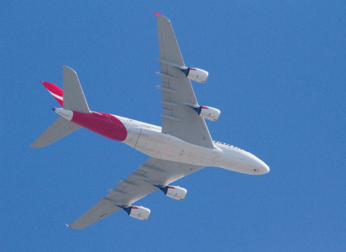
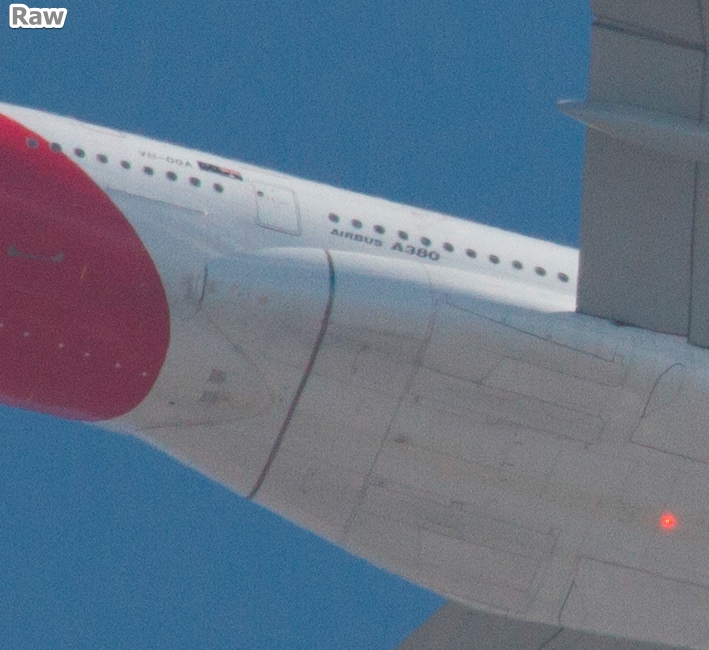
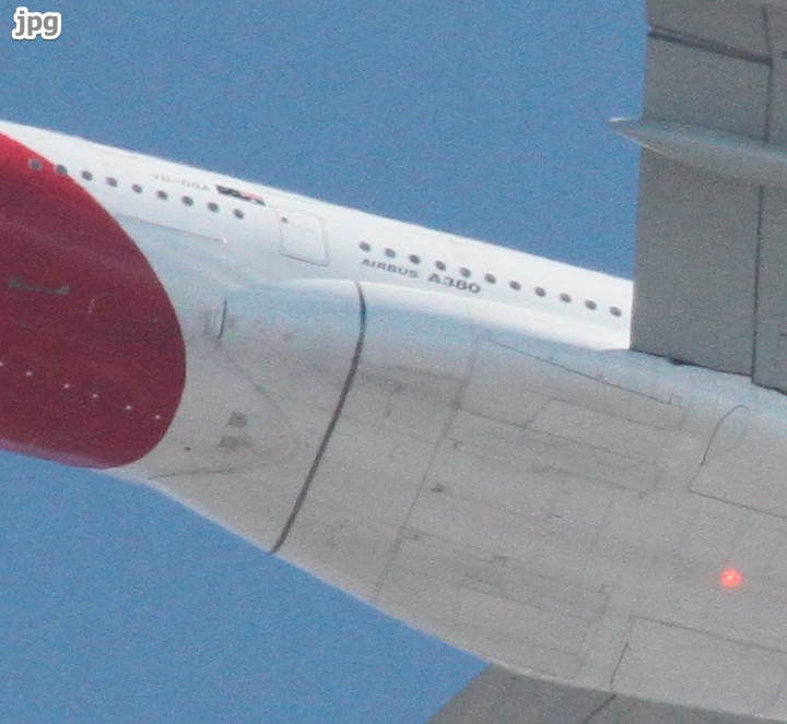
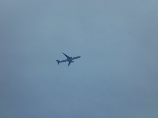
Never tried photographing high flying aircraft before so here's a couple of attempts of what was going overhead today. I don't have anything beyond a cheapo slow 55-200m lens and it was hazy today, so the pics are kinda rubbish, but here's a couple of pics cropped from pics I took of planes flying overhead near where I was today. The details are according to what the Flightradar.com website said was in that position at that time and flying in that direction.


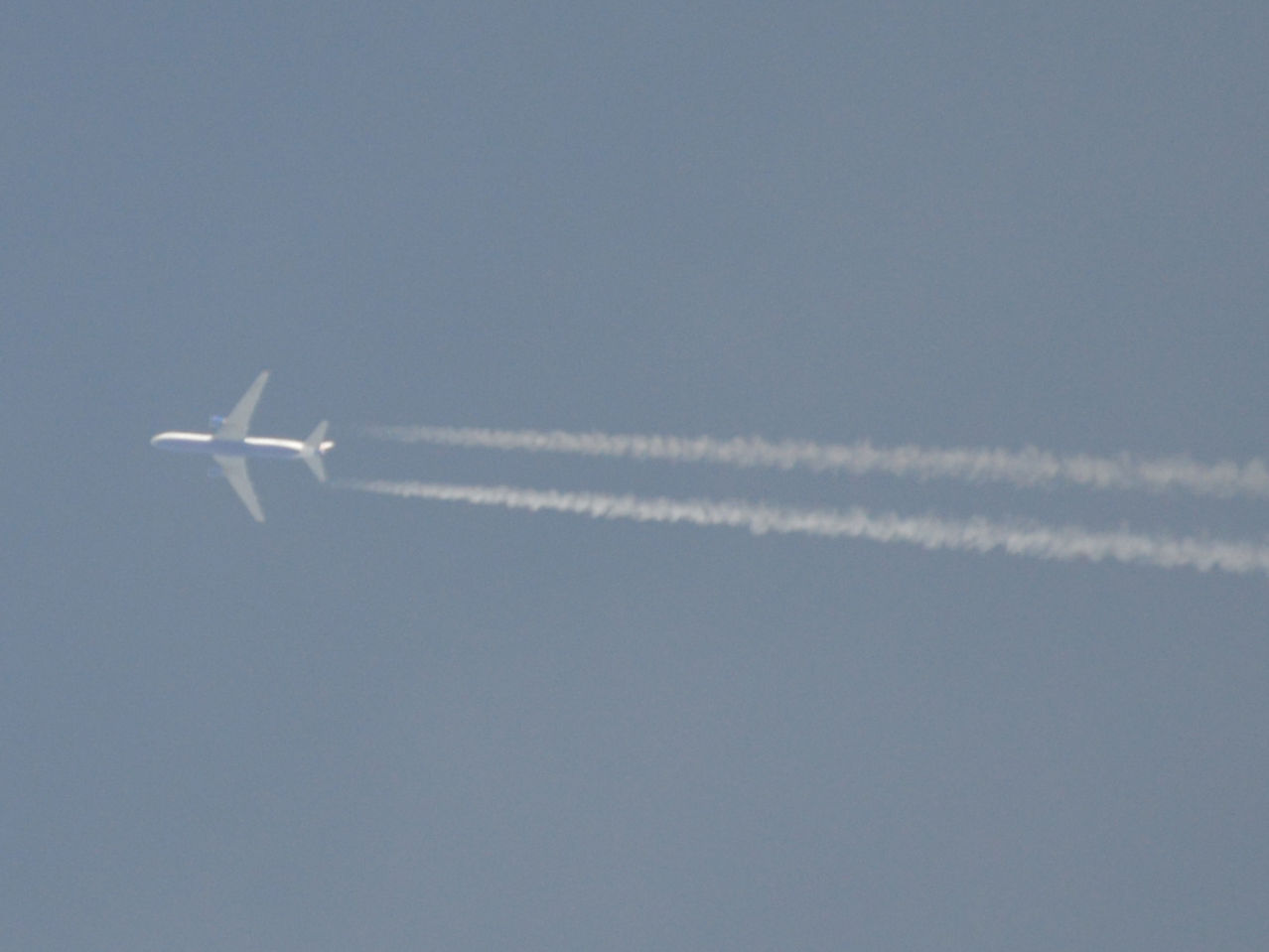
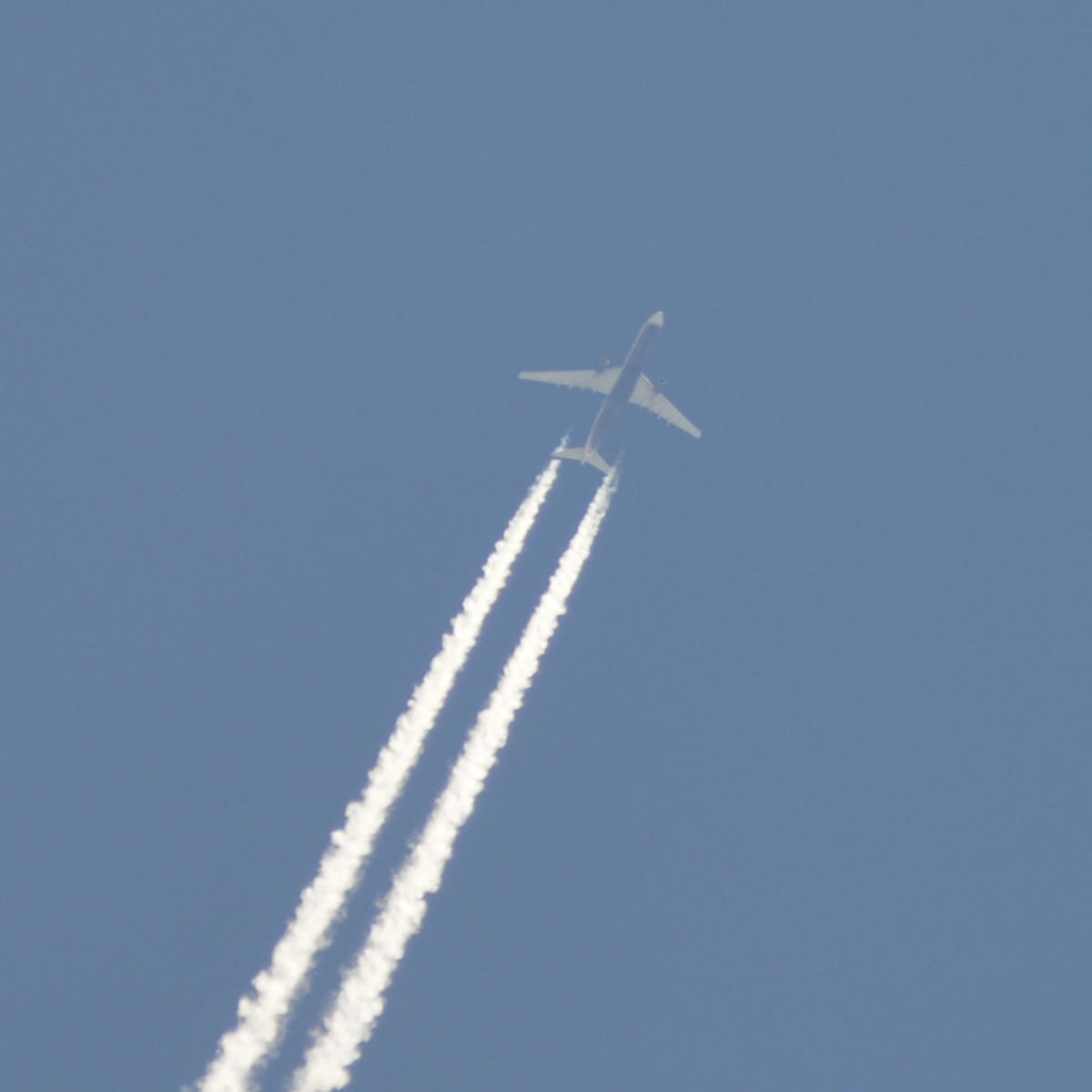
Flight UN8762 Transaero Boeing 767 @ 37,000ft (no source or destination given)


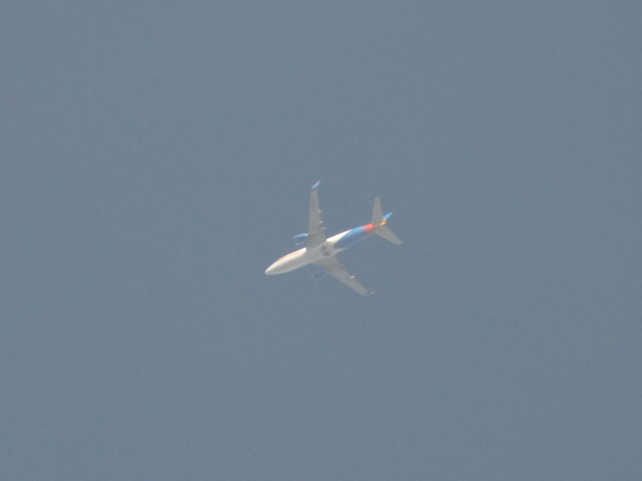
Flight LS382 Jet2Holidays Boeing 737 @ 31,000ft Tenerife - Belfast

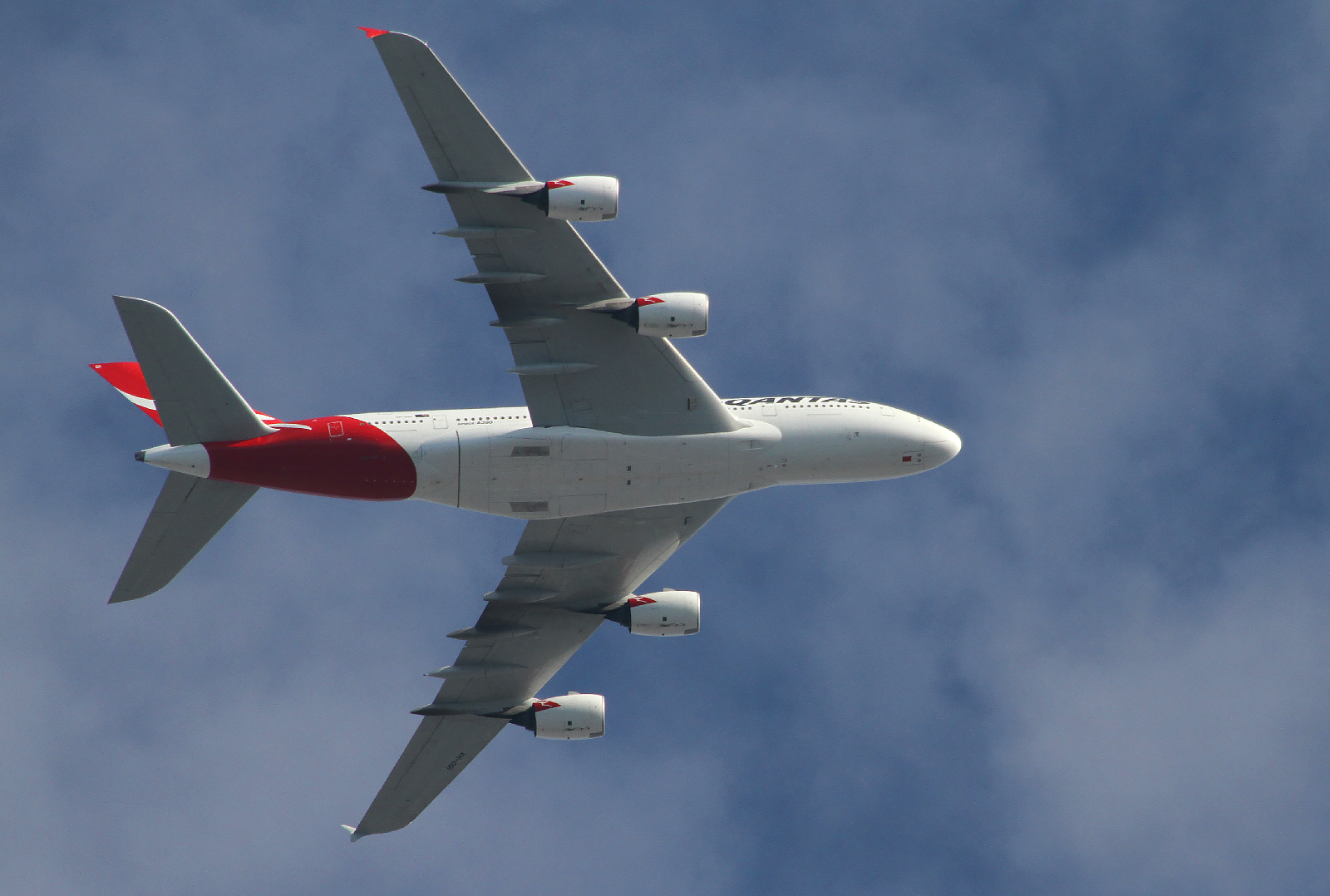
Very good shots. What body are you using, those seem as good as my 500mm shots on a Canon 7D.


Either I'm doing something wrong, or I need a new camera.
 
Nikon D3200. I bought it not long ago to replace a recently dead D40 that was showing its age and limitations but I was determined to keep using until it dropped dead. It's got a 24 megapixel sensor those images are a pretty small crop from a very big original image.
 
Nikon D3200. I bought it not long ago to replace a recently dead D40 that was showing its age and limitations but I was determined to keep using until it dropped dead. It's got a 24 megapixel sensor those images are a pretty small crop from a very big original image.

The 7D is 18MP, my problem is noise when I zoom in - those are cropped a bit too. However the low contrast and noise is probably partly from the ocean haze we get here all the time. Full frame original it's:

Exposure Time: 1/1000
FNumber: 6.3
Focal Length: 500
ISO Speed Ratings: 100
 
Works well for planes on approach though, probably around 8,000 feet:


Still a bit noisy though, here's a 100% crop, original:
 
Are you shooting in jpg or RAW format? RAW is much larger file size and allows a better processing zoom resolution before break down.
 
This:


The noise is still there in raw, but certainly less so. It's a lot smoother - more like an even grain.
 
Maybe its your 7D, my 5D MkIII is very noticeable difference between jpg and RAW. And my ability to zoom deeper before image break down is tremendous. I see an excuse to upgrade. hehehe
 
Looking back at the pictures I took yesterday, I realise the couple I posted above were the best I took yesterday by far. Upon reviewing the other photos I had taken previously that day of earlier overhead flights, the haze was obviously cleared by the time they were taken. In some of the earlier pics, the airplane is a barely visible washed out shape in front of the contrails.
 
I use my Nikon P510 to take pictures of birds and, occasionally, high-flying planes. In general, the quality of images is sufficient to recognise the airline livery or some characteristic features of rare planes in the british skies:
DSCN6582.JPG
DSCN5934.JPG
 
DSCF0131.jpg
I had to drive to Santa Barbara today, May1, 2014, on the way home I stopped just north of Ventura to enjoy the surf. I think this is JAL 61, LAX (Los Angeles) to NRT (Tokyo).

Did I capture a galley drain dump?

flightradar2.jpg

My intent was to photograph this halo and iridescence.

DSCF0117.jpg DSCF0116.jpg
 
I had to drive to Santa Barbara today...

"Had" to? It's a pleasant drive....(teasing, of course).

But, ALTHOUGH faint, I'd say yes, usually at or very near the centerline bottom of the fuselage of a B757/B767 there are at least two heated overflow drain masts.


I try to help out, by finding what I can online. This is a LARGE link to a "scribd" version of a B767-300 AFM:

http://www.scribd.com/doc/210896551/BOEING-767-Airplane-Flight-Manual

Sorry that it's such a big file, and not arranged in the way that my Airline's Manuals were (it's "raw" from Boeing, but all airlines have to comply and be approved, per this).
{Fonts can be changed, to match other AFMs...the specific order of Sections changed, etc}

The 'scribd' link above is (after I scrolled through all of it) is mostly about procedures, performance, and CDL/MEL info. Not general systems knowledge...something else I need to find.

(Still? It may become useful in future).

Info on the Potable Water system, Galley and Lavatory overboard drains (etc) would usually be in a section called "Aircraft General". Since the drain masts are heated, they will also be found in "Anti-Icing" sections.

(I love, love that Palm tree photo! Very artistic!)
 
Last edited:
My wife and I are going fishing fishing for the weekend, we leave in the morning and I'm about to log off, so I'll read your link on Monday. I'm glad you enjoyed the other photo, it was inspired by this photo, https://www.facebook.com/usatoday/p...13652355666/10151977186095667/?type=1&theater , the thread that accompanies is, how shall I say it, rather interesting(?). This is the original, unaltered photo of the plane, zooming in you can just about make out the logos, I hope I identified the plane correctly.
 

Attachments

  • DSCF0131.JPG
    DSCF0131.JPG
    3.5 MB · Views: 507
This picture is only from 10 1/2 years ago, Oct. 2003, but it surprised me when I looked at that old album (four years before I had heard of chemtrails) to see all the persistent trails. It is in southern France.
 

Attachments

  • sur l'herbe.JPG
    sur l'herbe.JPG
    758.9 KB · Views: 484
This is only 10 and 1/2 years old, Oct 2003, but it surprised me looking back at that album and seeing all the persistent trails (four years before I heard of chemtrails.) It is in southern Francesur l'herbe.JPG
 
I've noticed a useful hint in this and another thread. Apparently, Mick is aware of it, but I did not see it explained before.
One need not to have a live flight tracker to identify the planes flying above. It can be done later by playing back Flightradar24 records which are available for a few weeks after the plane has been seen or photographed.

I have readily identified several high-flying planes from the photographs taken in the last two months. Here is an example from April 1st:
DSCN8794.JPG DSCN8794c.jpg

http://www.flightradar24.com/2014-04-01/17:50/12x/THT7/304c35a
Screen shot 2014-05-06 at 19.40.50.png

To my surprise, it was not a KLM plane, as I initially thought. I blame the contrail that obscured the bottom half of a flower on the tailfin and made it looking like the KLM logo ;)
 
Last edited:
us at 41000 feet

Man, you both must have been EMPTY! I flew the DC-10 for many years, and don't recall ever getting up to FL410 (but of course, we always had that weight in the back, the "self-loading cargo"....(passengers}....that you can't usually dump overboard). o_O
 
Man, you both must have been EMPTY! I flew the DC-10 for many years, and don't recall ever getting up to FL410 (but of course, we always had that weight in the back, the "self-loading cargo"....(passengers}....that you can't usually dump overboard). o_O

We were quite light after a day of refueling, offloaded a lot of gas to a B2. If we have no cargo, our main weight is fuel, we climb up to 410 if we get low. The pilots don't like 420 since one has to wear the mask above 410 :)
 
Blue Angels are in town . Its hard to work when they keep buzzing my shop :)
 
Last edited by a moderator:
And annother one from the evening of that day.

Avant:

paris_layers1.jpg

Aprés:

paris_layers2.jpg

Direction WNW from Montmartre, estim. distance 30-40 km.
 

Hmm, I could be really embarrassing myself, but that looks a lot like the wing of an MD-80, as I recall. About the only U.S. airline that I know of still operating them is American.

Otherwise, perfectly good examples of very normal clouds, and some contrails in the mix.
 
A few more planes flying overhead from a couple of days ago when the sky was nice and clear.


Attachments

  • Plane1.jpg
    Plane1.jpg
    183.6 KB · Views: 456
  • Plane2.jpg
    Plane2.jpg
    180.3 KB · Views: 438
  • Plane1.jpg
    Plane1.jpg
    183.6 KB · Views: 426
  • Plane2.jpg
    Plane2.jpg
    180.3 KB · Views: 470
  • Plane2.jpg
    Plane2.jpg
    180.3 KB · Views: 447
Delta DC to Atlanta MD80. Delta seems to have quite a few as well .

Oh of course!!! D'Oh! I tend to forget about Delta....another merger nightmare...(but, OT)...

And, it had to have been DCA - ATL? (Not IAD, I'd reckon). Again OT, but well....been there, done that, too many times....lemme guess.....seat 21A? 22A? Somewhere 'round there.
 
Last edited:
DSCF7036.JPG DSCF7037.JPG
May 16, 2014 • Delta 4 • GPS 2F-6
Launch Time: 8:03 pm EDT
Launch Site: SLC 37-B, Cape Canaveral Air Force Station, Florida
United Launch Alliance will launch a Delta 4 rocket that will carry the Air Force’s sixth Block 2F navigation satellite for the Global Positioning System.
Plus contrail
 
Last edited by a moderator:
Disneyland Today. 180 degree panorama. Nice grid over Toontown
 

Attachments

  • image.jpg
    7 MB · Views: 483
Last edited:
Rather amusingly, a few hours after taking that photo I bumped onto Joe Rogan coming out of the Peter Pan ride.
 
Back
Top