Spectrar Ghost
Senior Member
From this past weekend:


I asked VT and they said it was definitely a nuclear strike on Lake Michigan.
I asked VT and they said it was definitely a nuclear strike on Lake Michigan.

Not as a spectacular rainbow as yours, but with clearer supernumerary bands. A narrow strip of rain passed yesterday between me and a reflection of the setting sun in a distant building:There were some nice supernumerary bands that needed the saturation cranked to 11 to see due to my phone camera.
Fantastic!A much better rainbow this evening, one of the brightest I've seen. I count at least four supernumerary bands.
View attachment 22155
Contrast enhanced:
View attachment 22156
View attachment 22157
A few minutes later it had shrunk to a stump:
View attachment 22158

Sunset tonight over the sea 16:11ZView attachment 22959 .


I must blink a lot, last saw one in 1958..No green flash?
So it is. I saw a fin and pot bouy..Probably right. I did think it was a bit far. That would be almost exactly 100 miles from Aberystwyth if it was the nearer one.
I see the flash.... and a couple of gulls, but no dolphin!
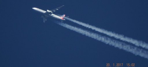
Some fallstreaks this morning.
These were better defined a bit earlier on but I couldn't get a photo.
View attachment 22485
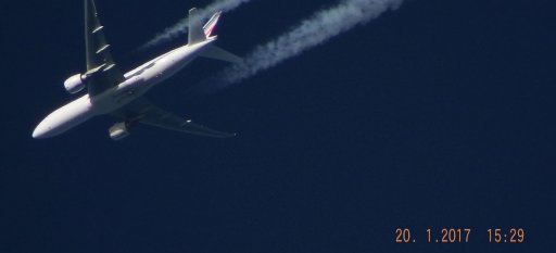
And a more distant one over London from the train:
View attachment 22486
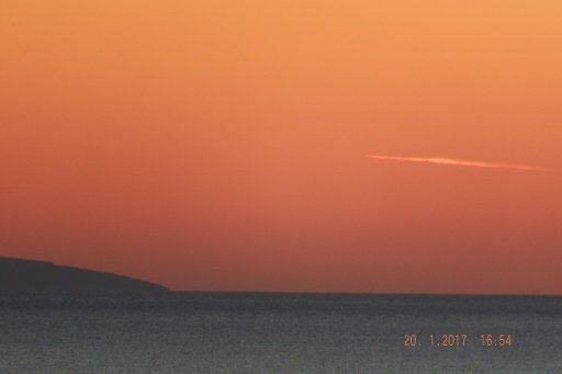
That sky signals a coming change in the weather, after a clear and frosty start there is a weather front fast approaching from the west:
View attachment 22488
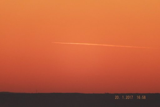
This may be the same one, seen from Middlesbrough and posted on Twitter this morning:What looks like an impressive canal cloud over Yorkshire too
This may be the same one, seen from Middlesbrough and posted on Twitter this morning:
Source: https://twitter.com/sjb_astro/status/818761129853849601


")