
Apogej
Member
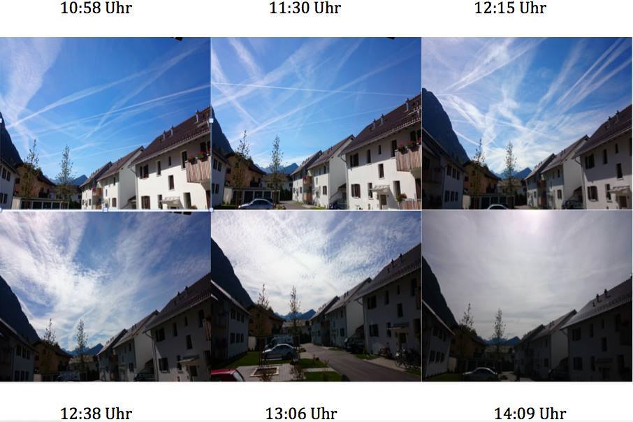
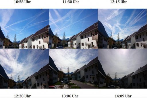
Ok, one more time; Do you think this time-lapse photo is genuine. Photo was taken in Switzerland, last year, showing part of the sky, which is covered with trails, after that in few hrs, the sky was completely blocked with a thin layer of particles, which were shining and partially blocked sunrays, while changing metallic-like colours, although weather was clear, blue sky, with no precit. of raining, humidity ...
Attachments
Last edited by a moderator:
 Will do better research prior next posting.
")