Steve Funk
Senior Member
Here is a handy table to use if you are checking the contrail forecast map or explaining it to someone.
http://www.boqueteweather.com/millibars_altitude.htm
http://www.boqueteweather.com/millibars_altitude.htm
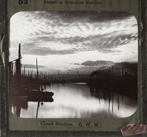
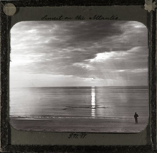
but these are from the 1890's, the time of Nikolai Tesla. So watch "true Believers" claim that HAARP is reproducing the work of Tesla and these clouds were caused by a Tesla tower.


Flawed, ambient humidity is not required for contrail formation.
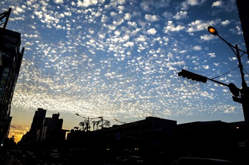
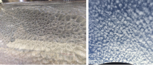
External Quote:
Step 1: Get an airplane
Cloud seeding is performed by pilots who fly into areas of moisture in the atmosphere. It requires flying a small aircraft that can easily navigate through stormy weather, such as a Cessna or Beechcraft King Air.
Step 2: Fly into clouds
To seed a cloud, pilots fly directly into cumulonimbus, or towering cumulus clouds. They resemble tall, fluffy marshmallows and are shaped by powerful updrafts from the ground. Over time, these clouds typically develop into thunderstorms.
Step 3: Release salt into the air
Once the airplane flies inside a cloud, the pilot ignites one of dozens of flares that are fixed on the aircraft's wings by a firing mechanism in the cockpit. The flares release smoke and salt compounds, such as sodium chloride or potassium chloride, into the air, which attracts water vapor in the cloud to form water droplets. These droplets coalesce into bigger droplets and, once heavy enough, can eventually fall as rain.
Step 4: Aim for the turbulence
Most pilots are trained to avoid flying directly into thunderstorms. But cloud-seeders have to aim for updrafts, which are created as warmer air from the ground is drawn into the base of cumulonimbus clouds. These updrafts help to mix the salt and smoke throughout the entire cloud, but they also make for a very bumpy ride.
Step 5: Repeat
Cloud-seeding flights can take three to four hours, during which time pilots can release dozens of flares. The more salt and smoke injected into the air, the better the chances of producing rain.
So, does it actually work? Meteorologists in the United Arab Emirates, one of the world's driest countries and top consumers of water, believe cloud seeding is increasing rainfall in the desert, though scientists are still trying to quantify precisely how much.
It is talking about mid 19th Cent...around 1850.@Graham2001 do you mean the 20th century? The period between 1901 and 2000.
It is talking about mid 19th Cent...around 1850.
Interesting stuff, but way, way too early to contribute to the "chemtrails" nonsense.
External Quote:
What happens when a geyser erupts into air temperatures of -17.8°C (0°F)? Well, you get instant snow, of course!
Just 22 meters (72 feet) beneath the surface, the water is about 118°C (244°F), and it often retains this heat as it explodes out onto the surface.
External Quote:However, when you shoot this broiling fluid up into the sky, its water droplets will freeze quite suddenly and snow will emerge like magic. Unfortunately, much of the water remains too hot to freeze that quickly, but because the temperature of the geyser is so much greater than the surrounding frigid air, it is far less dense than usual – which means the geyser billows out and drifts upwards far higher than usual.
An interesting phenomenon is occurring at Yellowstone's Old Faithful geyser that visually demonstrates how the introduction of super-heated water into a frigid temperatures results in an expanding 'cloud', which seems similar to how super-heated water/emissions found in aircraft contrails form and expand in the colder air found in high altitudes.
Ground/near-ground contrails, Antarctic....C-130.
Updated, thanks.Update to post #83 - URL change for the photos.
