
This region of cloud looks odd for a couple of reasons. Firstly the left side is chopped off, adding to the illusion of it being square. Secondly the right side seems like it just stops in the middle of the ocean, in a random straight line.
But that's just a factor of the low contrast of the image, it's actually stopping at the coastline. You can see this a little better if you magnify and adjust the contrast:
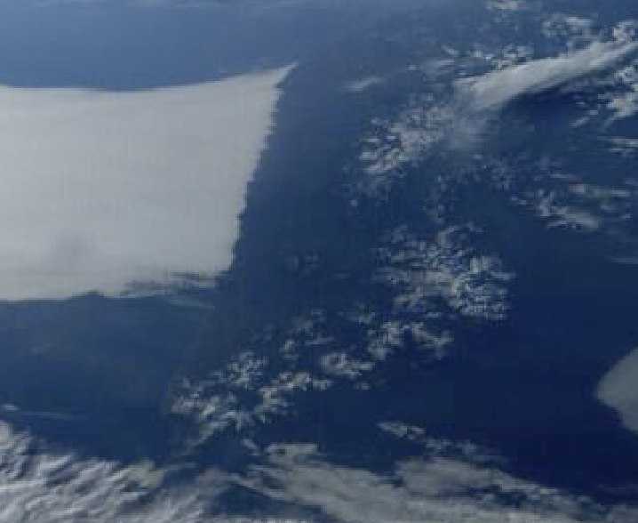
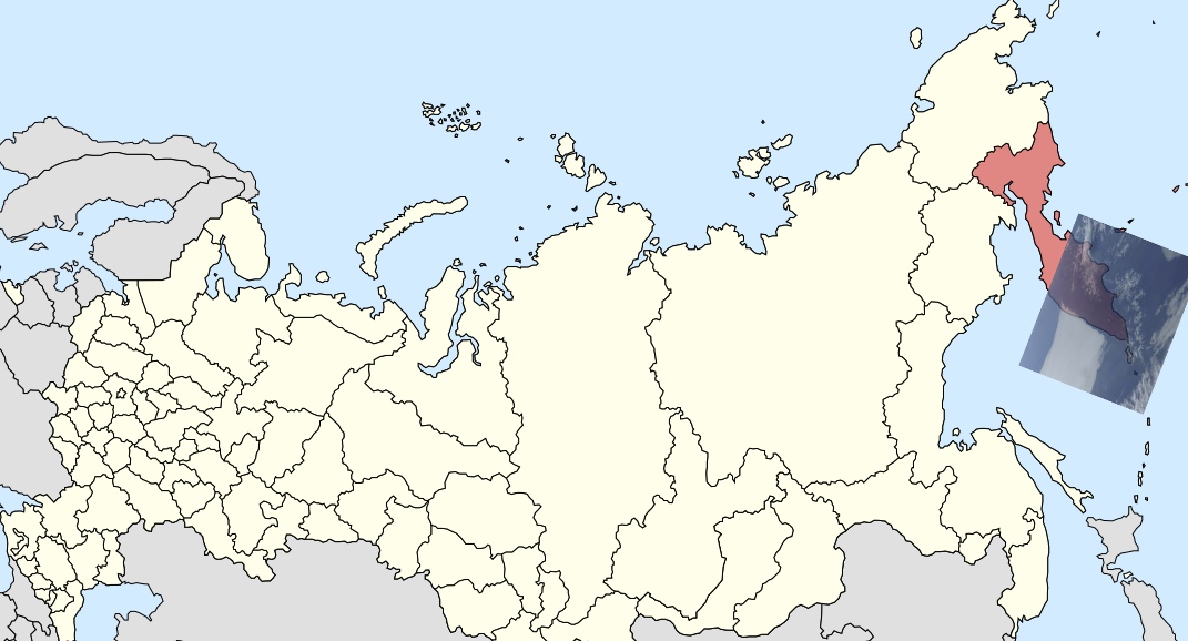
The landmass is the Kamchatka peninsula, in the far north east of Russia.
Here's the same scene viewed from more directly overhead, separated by a few hours, but the termination of the cloud on the coastline is just the same
https://earthdata.nasa.gov/labs/wor...map=148.544556,49.154663,162.598267,58.638062
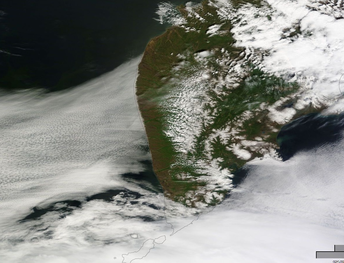
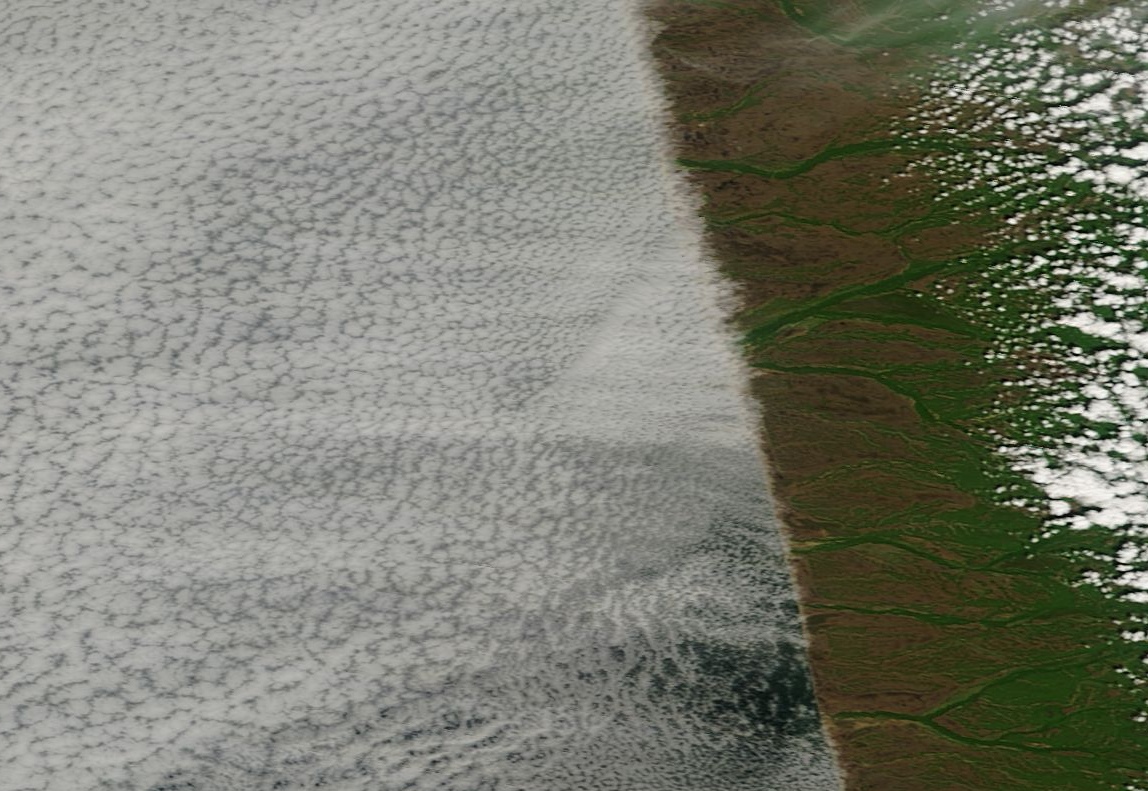
Calling it an "odd cloud" is rather misleading - it's huge layer of clouds. It covers over 150 miles of coastline, and extend 800 miles to the west. Zooming in shows the individual clouds making up the layer, and also the straightness of the coastline:
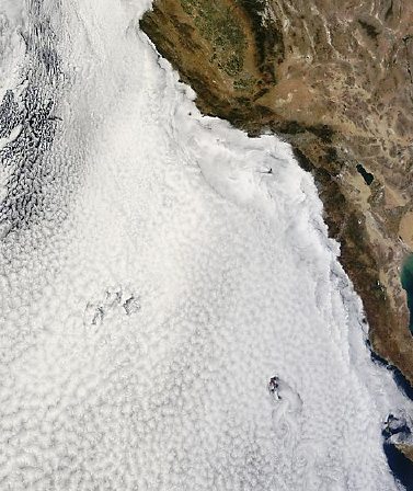
Land can have quite an effect on sea clouds. Have a look just of the south of this region a few days earlier:
https://earthdata.nasa.gov/labs/wor...map=153.075439,48.237305,156.588867,50.608154
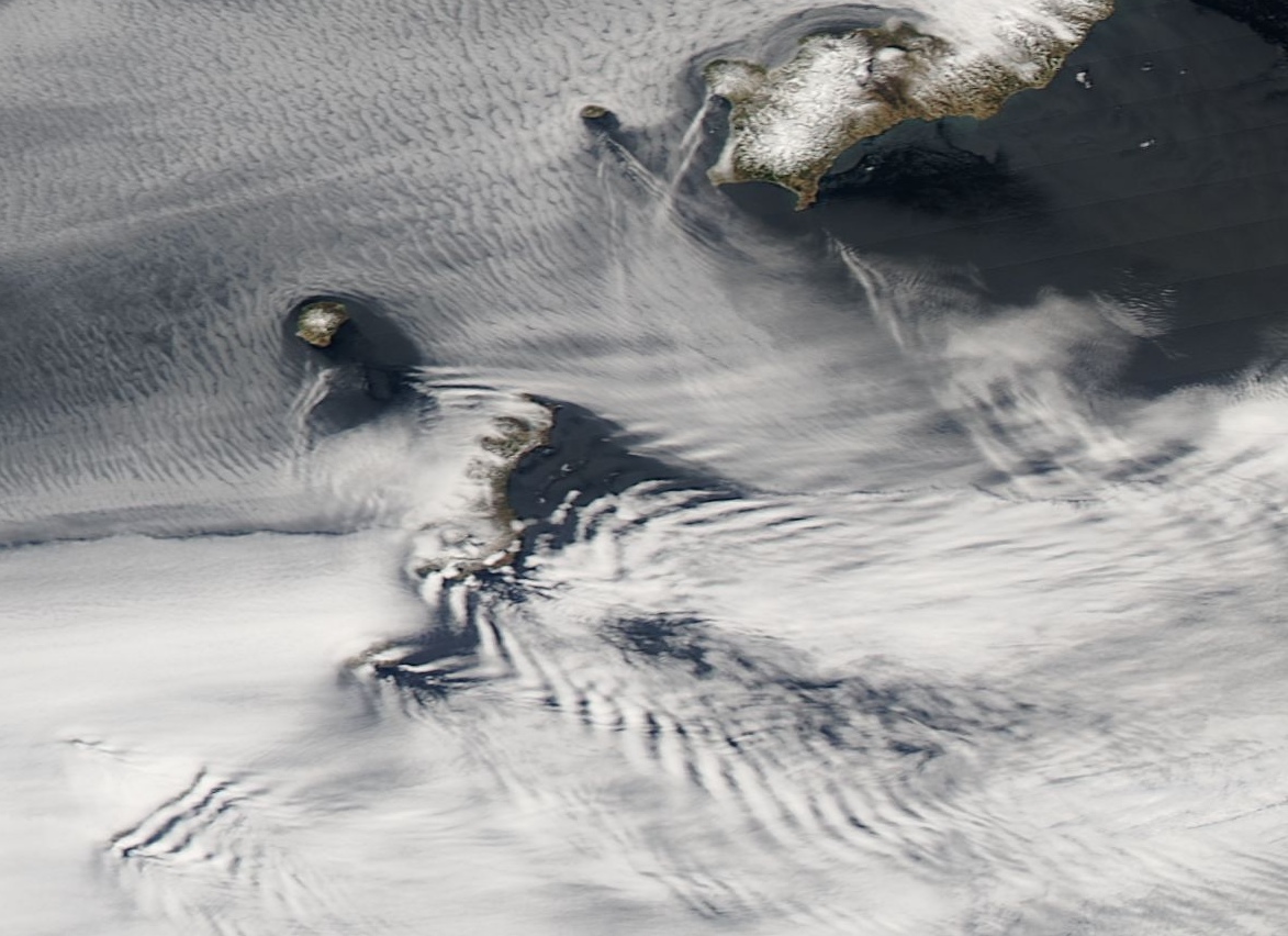
The actual effect depends on the wind, the weather conditions, and the cloud altitude. The "square" cloud layer that was terminated by the land mass is a type of cloud that is actually formed by the sea - essentially a sea fog, or marine layer. That's why it stops right at the coastline (or just slightly inland, where it drifts with the wind).
This type of coastal cloud layer is very common here in Los Angeles, leading to the famous "June Gloom" that confuses the tourists:
https://en.wikipedia.org/wiki/June_gloom
This time-lapse video shows a full month of clouds over California. Notice how the marine clouds (the slowest moving layer) hug the coast:June Gloom is a southern California term for a weather pattern that results in cloudy, overcast skies with cool temperatures during the late spring and early summer, most commonly in the month of June. Low-altitude stratus clouds are formed over the ocean, then transported over the coastal regions by the wind.[1] The overcast skies often are accompanied by fog and drizzle, though usually not rain.
Attachments
Last edited:
")