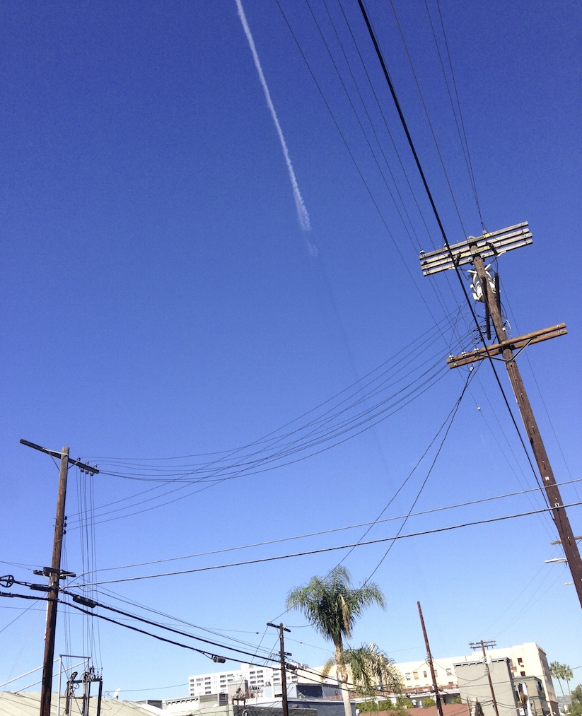
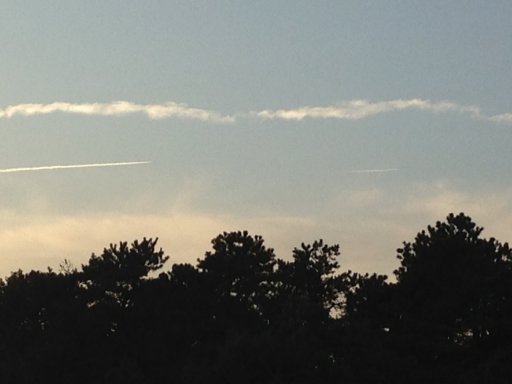
Here's a photo I took through my windscreen last night - the a/c is highlighted because it's a bit indistinct - but this is Air NZ flight ANZ548 flying Christchurch - Auckland at about 07.45pm local time shot from Lower Hutt - facing west - so it is flying over the South Taranaki Bight to the west of Wellington.
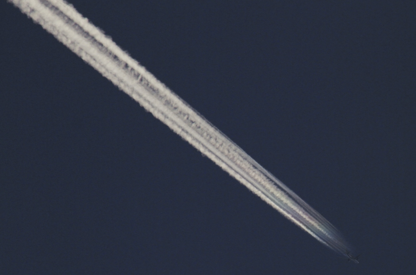
The point here is that this aircraft has left a persistent contrail ("top one" to the left), and is currently leaving a non-persistent one - it is a multi-tasking chemtrailer!!
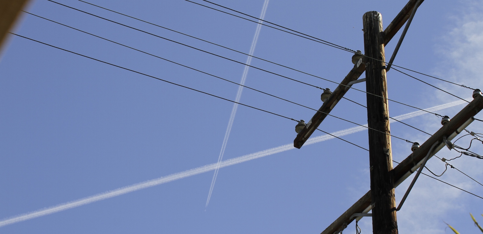
The 2nd persistent contrail on the left (the "bottom" one) was probably left by ANZ674 which flew by 30 minutes earlier from Dunedin to Auckland.
View attachment 9769

")