Marine0811
Active Member
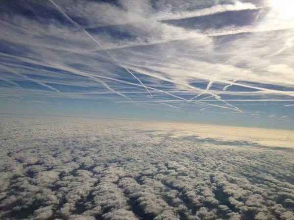
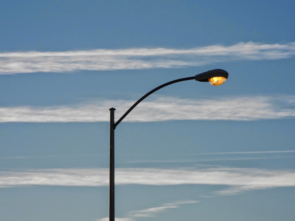
Why do lower chemtrails last longer than higher chemtrails?
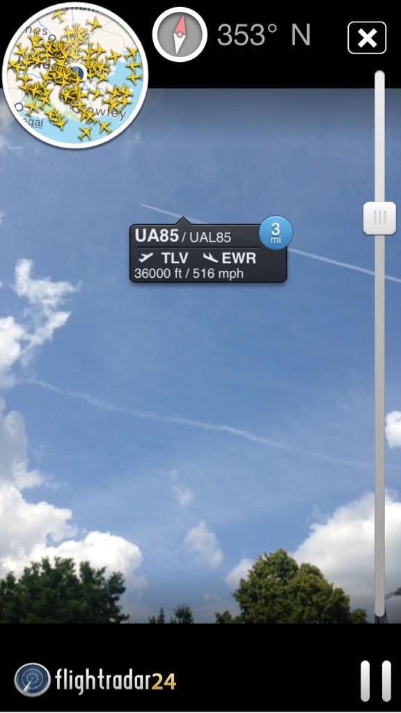
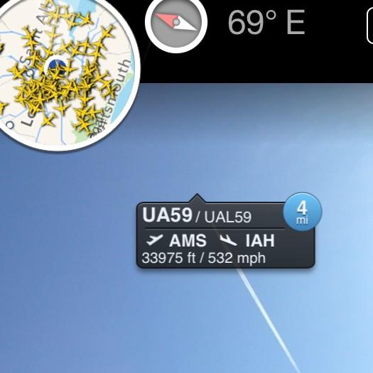
Why do commercial planes fly at least up to 35,000 ft before levelling off, but chemtrail planes level off at lower clouds around 6,500 ft.?
Why do commercial planes fly at least up to 35,000 ft before levelling off, but chemtrail planes level off at lower clouds around 6,500 ft.?
 )
)