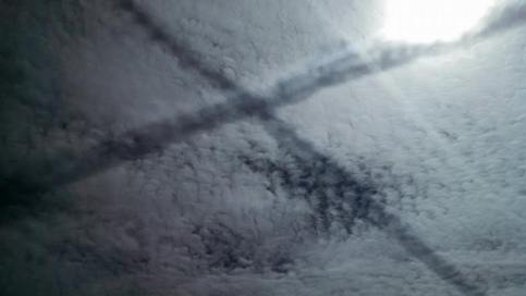
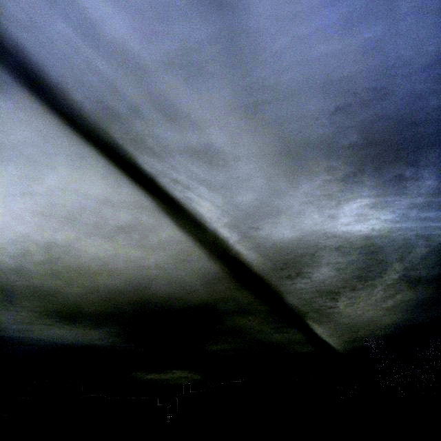
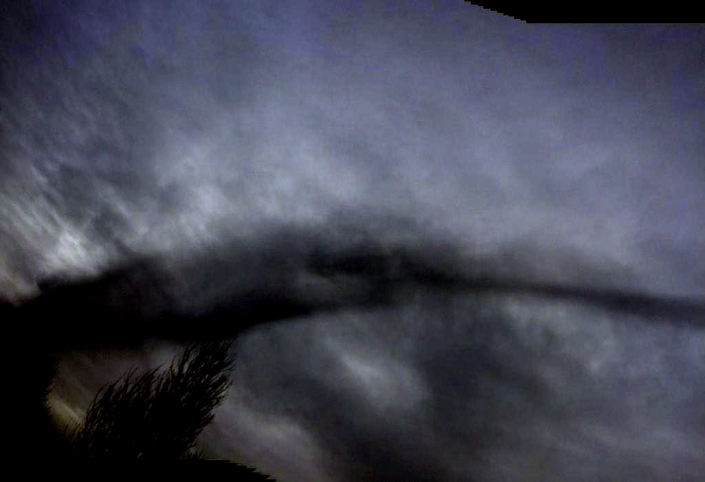
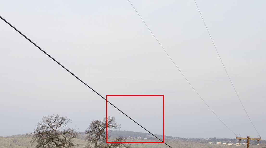
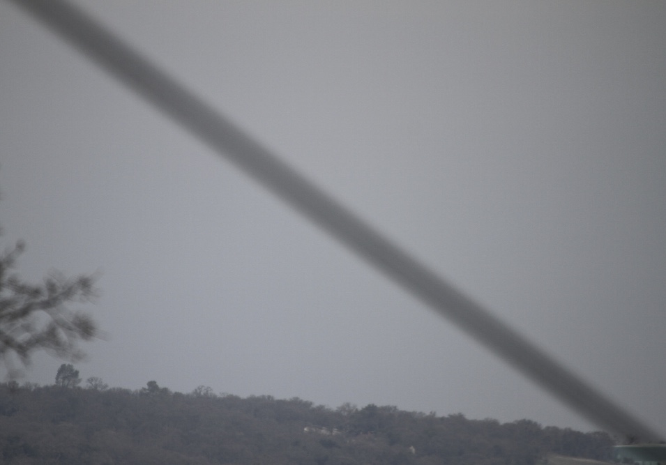
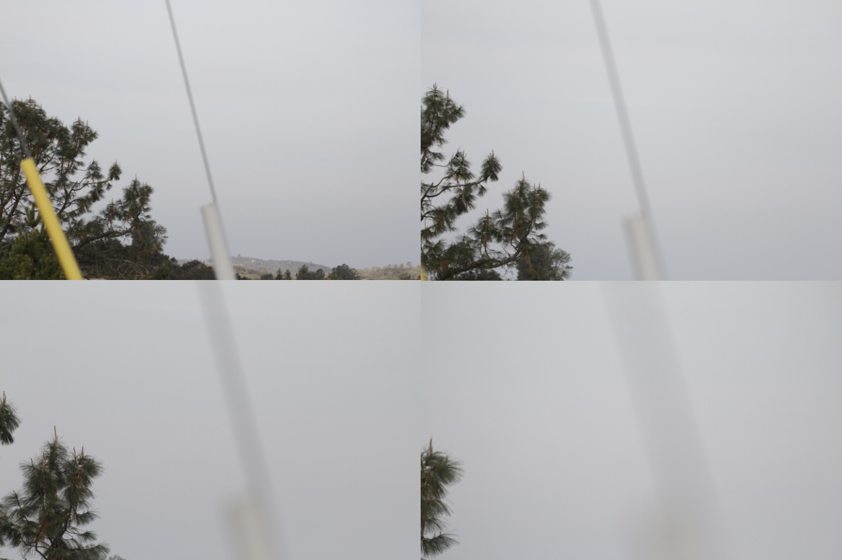
However:
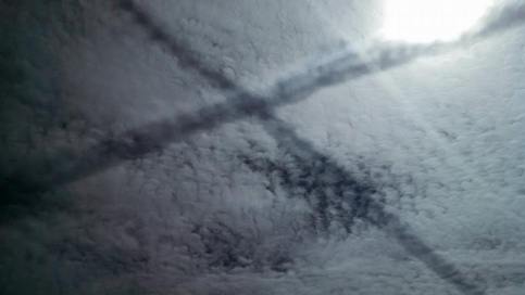
- 500mm zoom, probably not what was being used
- Consistent thickness
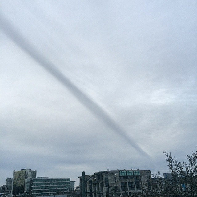
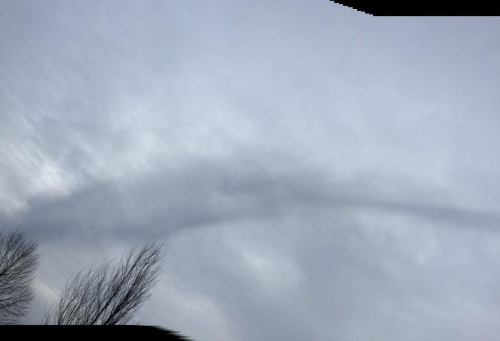
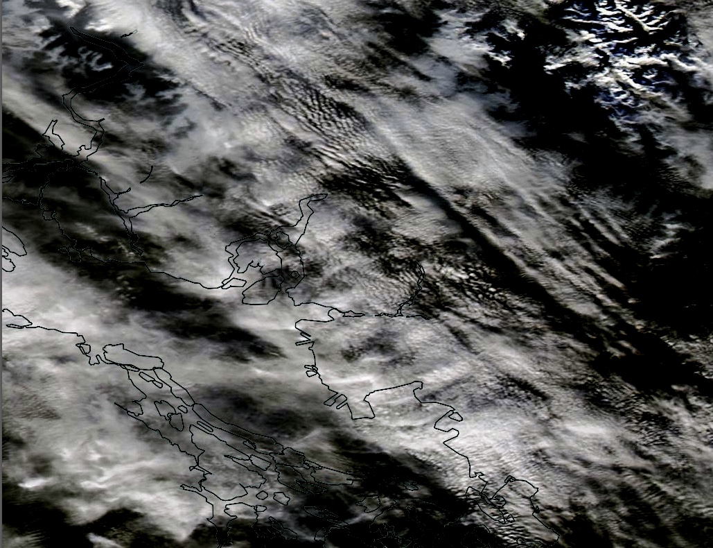
- [Most significantly] Overlaps the ground in the bottom right, whereas the original fades into the clouds.
- There are more photos in the OP of supposedly the same thing.
I've seen somewhat similar images of blurred wires on Google StreetView, hence my question.
Adding the OP photo to Google Earth with default FOV of 50° supports the suggestion of no big zoom being used:
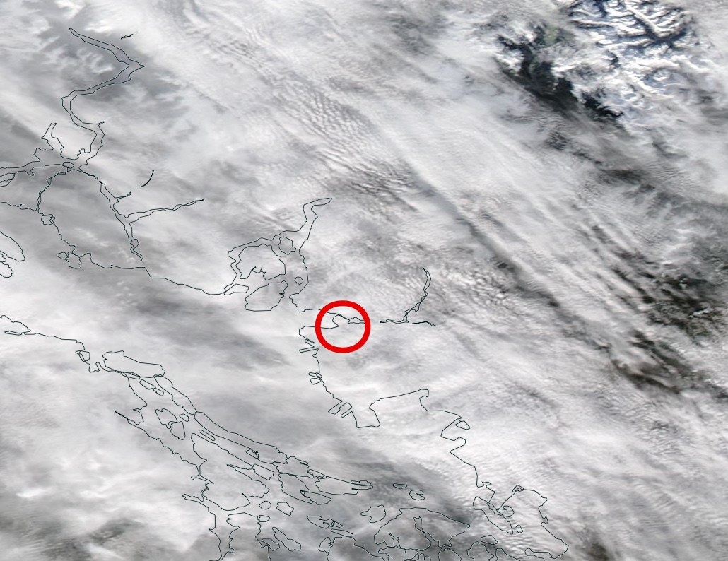
Modelling the dark line at the altitude of about 25,000 ft gives its heading being about 135°:

The Sun azimuth at the time was almost perpendicular to the line, about 215°, and the Sun elevation was about 17°. Provided the dark line was a contrail shadow, the actual contrail would be about 10,000 ft higher and about 7 miles further in the Sun direction, that is, over the Strait of Georgia. The dark line heading is in a good agreement of the main direction of air traffic in that area, however FR24 playback shows no suitable candidate flight at the time of the photo. Still, there remains the possibility of older contrail formed over Vancouver island and carried by the wind toward the city.