
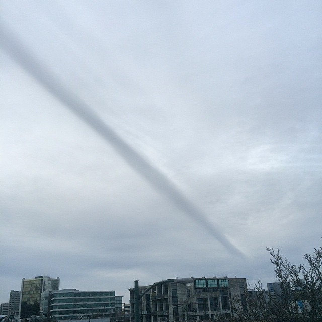
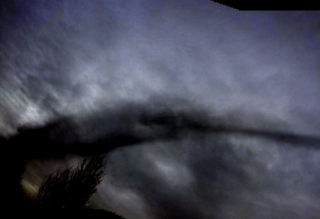
Via Instagam and Twitter:
Posted at about 2:41PM (PST), Jan 31st (today) (22:41 UTC)
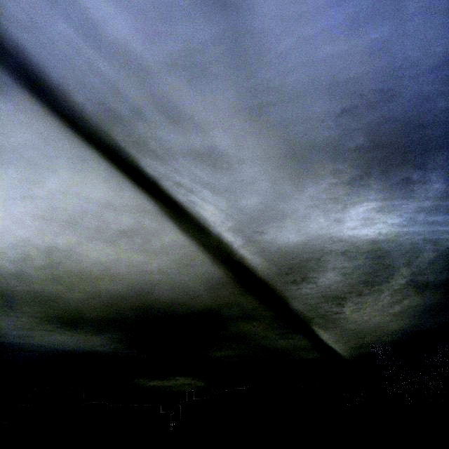
And at 3:13PM.
Posted at about 2:41PM (PST), Jan 31st (today) (22:41 UTC)
External Quote:anthonyfloyd 38 minutes ago
Weird feature in the #Vancouver Sky. Doesn't look like a contrail. Any ideas? #yvrwx
And at 3:13PM.
External Quote:@AnthonyFloyd I was just trying to take pictures of it to what the heck hey?
Last edited:


")
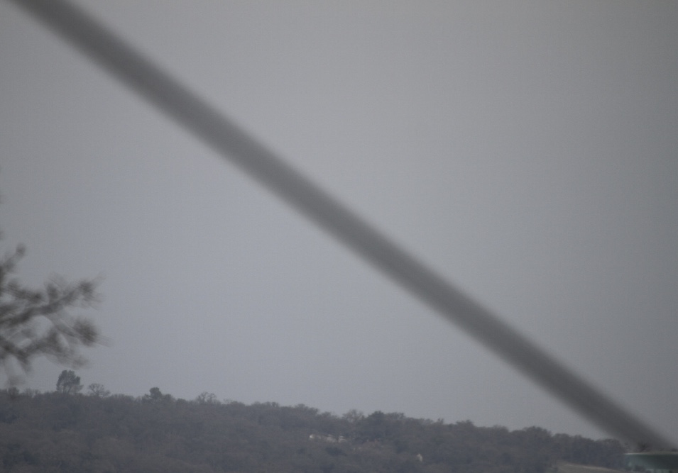
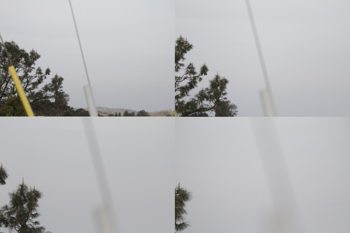

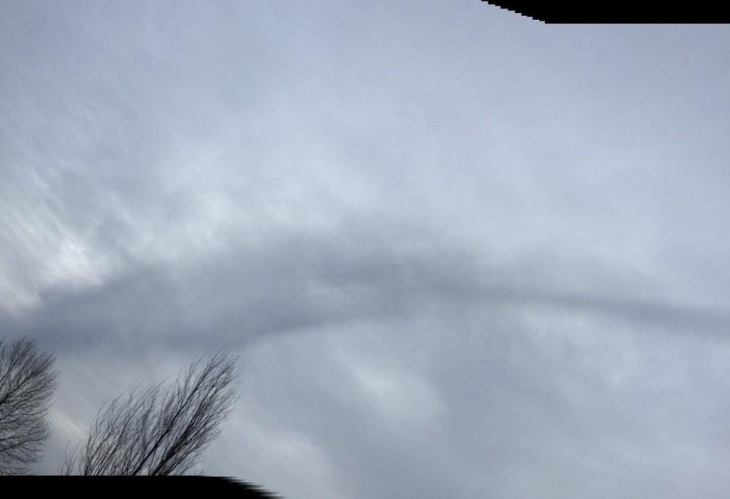
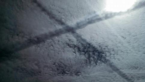
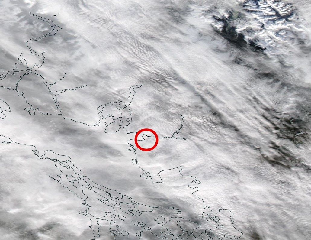
 I found another photo of this dark line
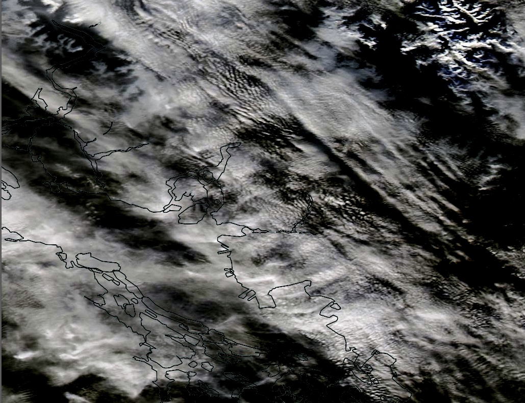