Source: https://worldview.earthdata.nasa.go...18477314,137.0533488922281,-31.55257743477314
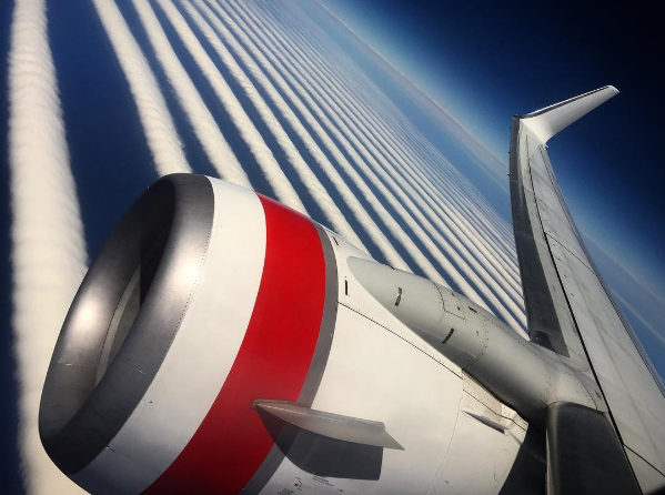
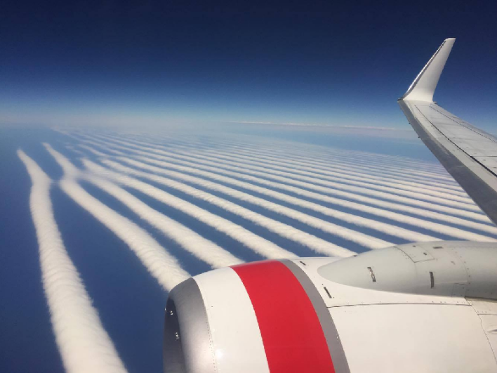
More supposed "undeniable proof" of weather modification with radio waves comes in the form of the above image. Here's a closeup
(The sharp line on the right is the result of stitching together different images, hopefully nobody was saying THAT was cloud modification)
It's just a region of cloud streets. Not something you see every day, but not really uncommon. To give you some perspective, it's here:
It also did not stick around. Later it looked like this:
Then:
So it's a very dynamic structure.
It would be interesting if there's an animation of the cloud cover from that time - so you could see how it formed. Feb 09 2016 is not that long ago, so it seems possible there might even be Himawari-8 coverage. But a quick look around has yet to reveal anything.
Update: Here's the video of the cloud forming on Himawari-8
Source: https://www.youtube.com/watch?v=r4XaBalulVs
Last edited: