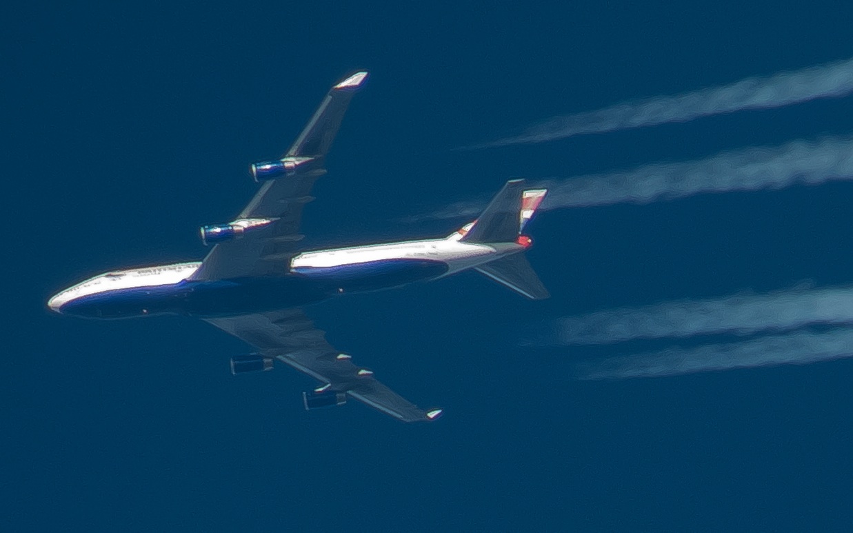
LOL, you are too funny, seriously, you think I am going to spend that kind of money? Have you ever tried to hold a camera still and take a stable picture of a plane from the distance of of 5 miles? You need a tripod with a super fast shutter, because its moving, and remove trigger to maintain stability. I run my own business and I do want to upgrade to digital here, but I don't have an extra 10k for the Avigilan system I want, but donations are being accepted
")
I have other priorities, and as I said, I am here to discuss this, I could care less and you all seem to care more, but either way, no one has came up with anything except "Atmospheric conditions" Its a good excuse, for a while, until it becomes worn out.

") BTW, don't forget the accesories
BTW, don't forget the accesories