Clouds Givemethewillies
Senior Member
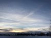
Short vapour gap.


Last edited by a moderator:

Short vapour gap.
")
Flight SQ26. Looks like there was an Aer Lingus plane 8,000ft almost directly below it at the time.
View attachment 30217
The younger one happened to be a NASA flight from Palmdale, CA to Hamburg, Germany.
A nice long fall streak over Bakersfield, California. 3:40 pm, January 1. This was a 3 frame shot using the panorama setting. View attachment 30857
A nice long fall streak over Bakersfield, California. 3:40 pm, January 1. This was a 3 frame shot using the panorama setting. View attachment 30857
Am I looking at the right streak? It doesn't seem to match the flight path. Or is it the long trail to the right of the curved streak?I contacted Meteorologis Miles Muzio of KBAK Channel 29 TV here in Bakersfield, ran my photo and the plane track by him. He provided me with a satellite loop of the fallstreak. The full loop can be viewed here: http://rammb-slider.cira.colostate.edu/?sat=goes-16&sec=full_disk&x=4190&y=4076&z=5&im=12&ts=1&st=20180101230038&et=20180102000038&speed=130&motion=loop&map=1&lat=0&p[0]=16&opacity[0]=1&hidden[0]=0&pause=20180102214539&slider=-1&hide_controls=0&mouse_draw=0&s=rammb-slider
View attachment 30863
How long does it take for a fallstreak to take shape? There's a third one that forms between the second and 3rd frame. FR24 showed AS3497 started it's descent at about 23:08 or 23:09. It shouldn't have been in the first frame, now that you mention it.Am I looking at the right streak? It doesn't seem to match the flight path. Or is it the long trail to the right of the curved streak?
Eagles.Bird shadows get a thumbs up. (vultures?)
It's a bit odd that FR24 app on your mobile does not have different icons for different plane types.
Are you sure you have the right plane there? I don't see that flight on Planefinder, but I do see these two:Flight radar only showed one of the planes.
View attachment 31241
So your camera was in UTC-2 ???UTC time was about 23:54, my camera reads 21:51 and is off the FR24 clock by 3 minutes.
No my camera is set to pacific time, but the minutes were off by 3 minutes from the FR24 clock.So your camera was in UTC-2 ???
So what time does the "21:51" refer to?No my camera is set to pacific time, but the minutes were off by 3 minutes from the FR24 clock.
oops, typo from the camera the times were 1/23/18 3:51:28 pm and 3:51:34 pm Pacific Time.So what time does the "21:51" refer to?
I think that the white plane is a Boeing 777 flying significantly higher than the red B737. Unfortunately, as the Metabunk software resizes big photos, its magnified image is not at the full camera resolution.From 7+ miles away it looked like a near miss. The 2 photos were taken were taken 6 seconds apart. This was taken with a 30X's zoom.
View attachment 31239 View attachment 31240
Flight radar only showed one of the planes.
View attachment 31241
How's that?I think that the white plane is a Boeing 777 flying significantly higher than the red B737. Unfortunately, as the Metabunk software resizes big photos, its magnified image is not at the full camera resolution.
Could you please crop the planes from the original photos and repost them.
Well, two black spots on the bottom now look more like the 737 gear, so I agree with Mick on this. However, compared to the red plane, the white plane seems to be a more recent model with winglets and stretched fuselage, so I think it was higher by one or two thousand feet than the red one.
Way too far west, I'm very familiar with the position of that flight path from my house. The 2 planes flew almost directly overhead. In my FR24 image, you see the little yellow dot under the r and s of Bakersfield.These are likely candidates, both by types and colours. Just about five minutes later. The red SWA5952 at 34,000 ft; the white UAL1755 is at 40,000 ft:
View attachment 31259
Check your camera against actual time, not that on FR24 display.
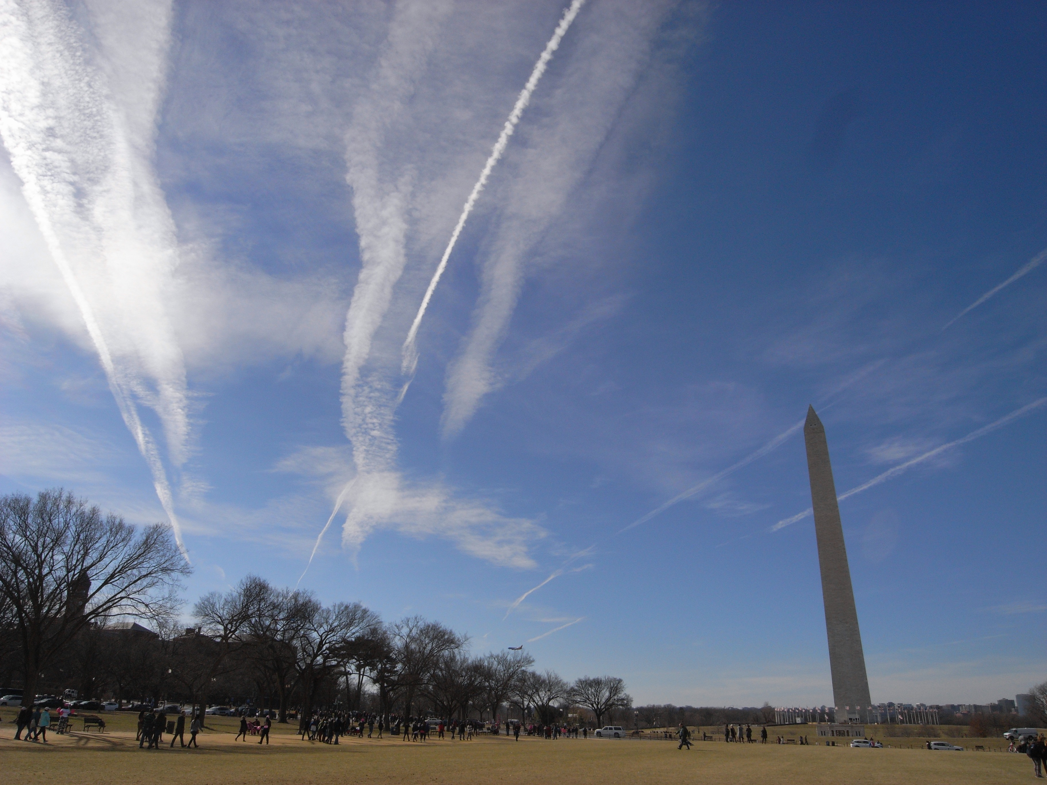
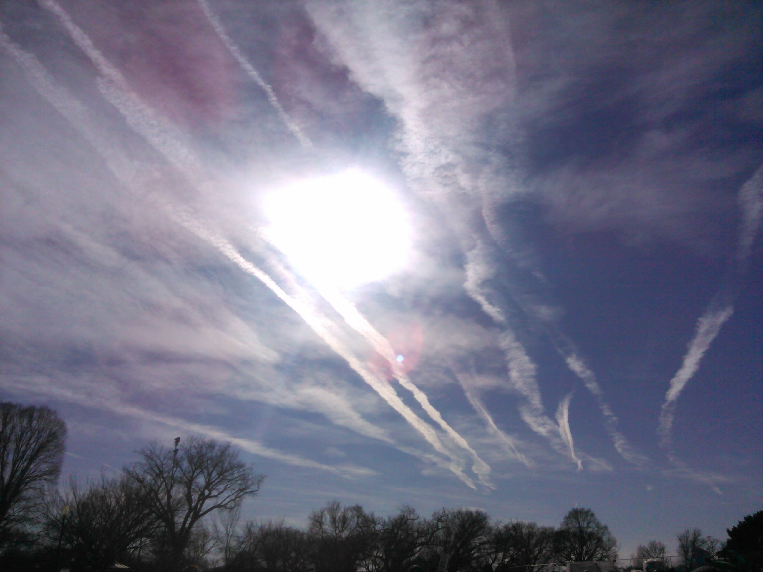
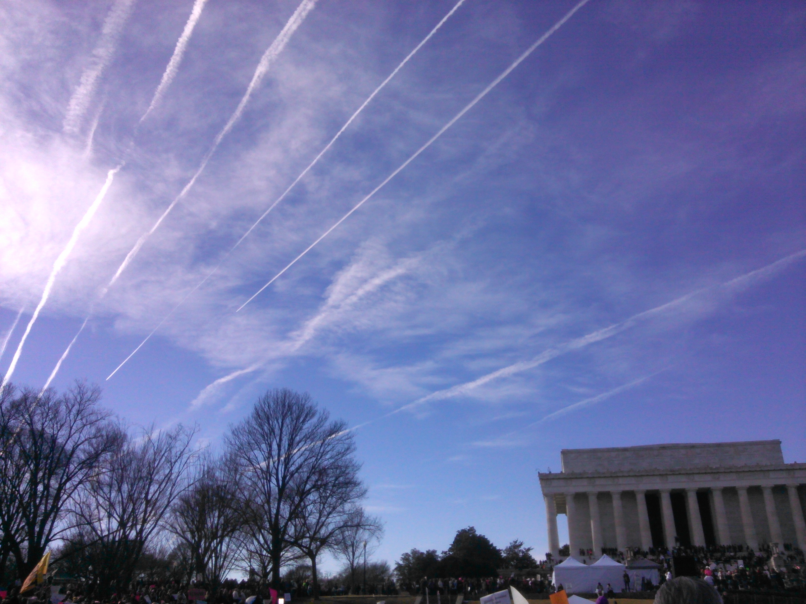
Here are some contrail photos I took in Washington, DC on Jan 20, 2018, from approx 1:30 to 3 pm. Whatever the exact mechanics of contrail preservation are, they were in effect that day along this air corridor...