Trailspotter
Senior Member.
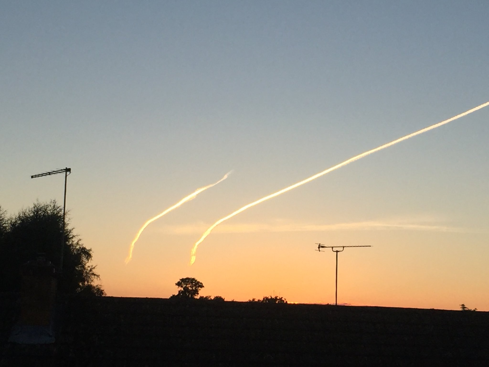
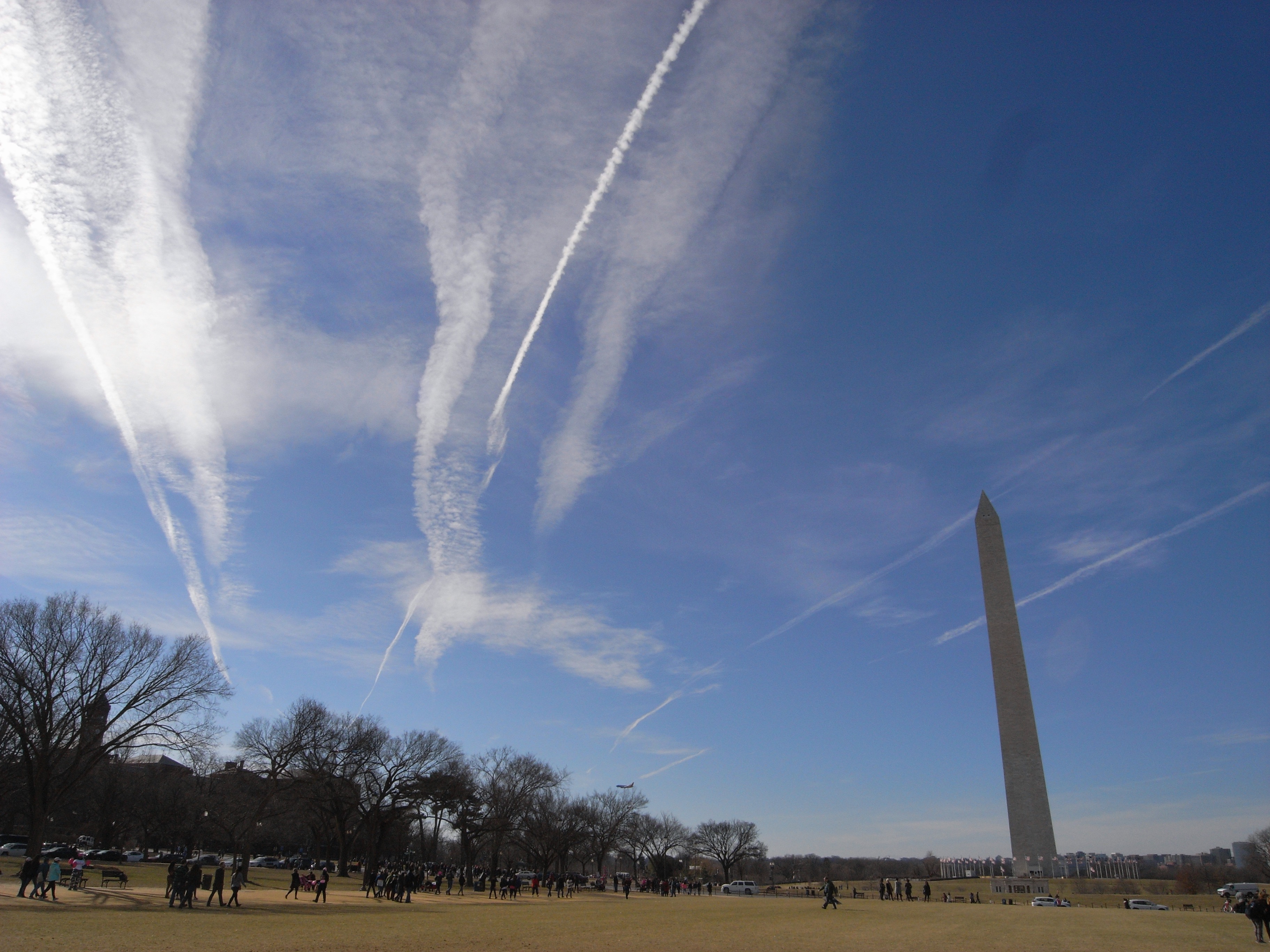
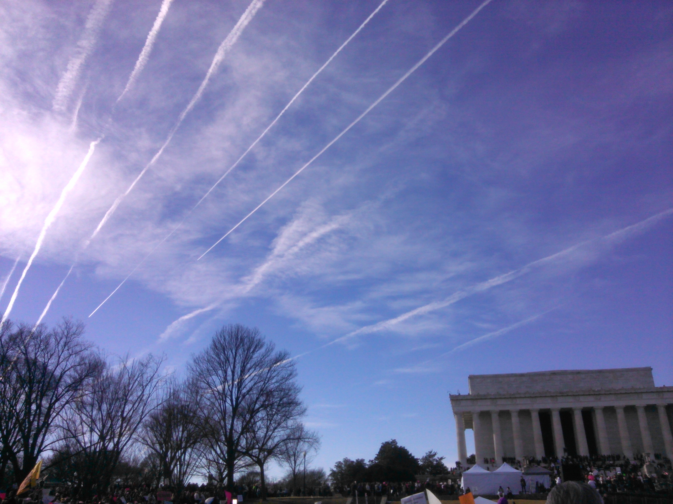
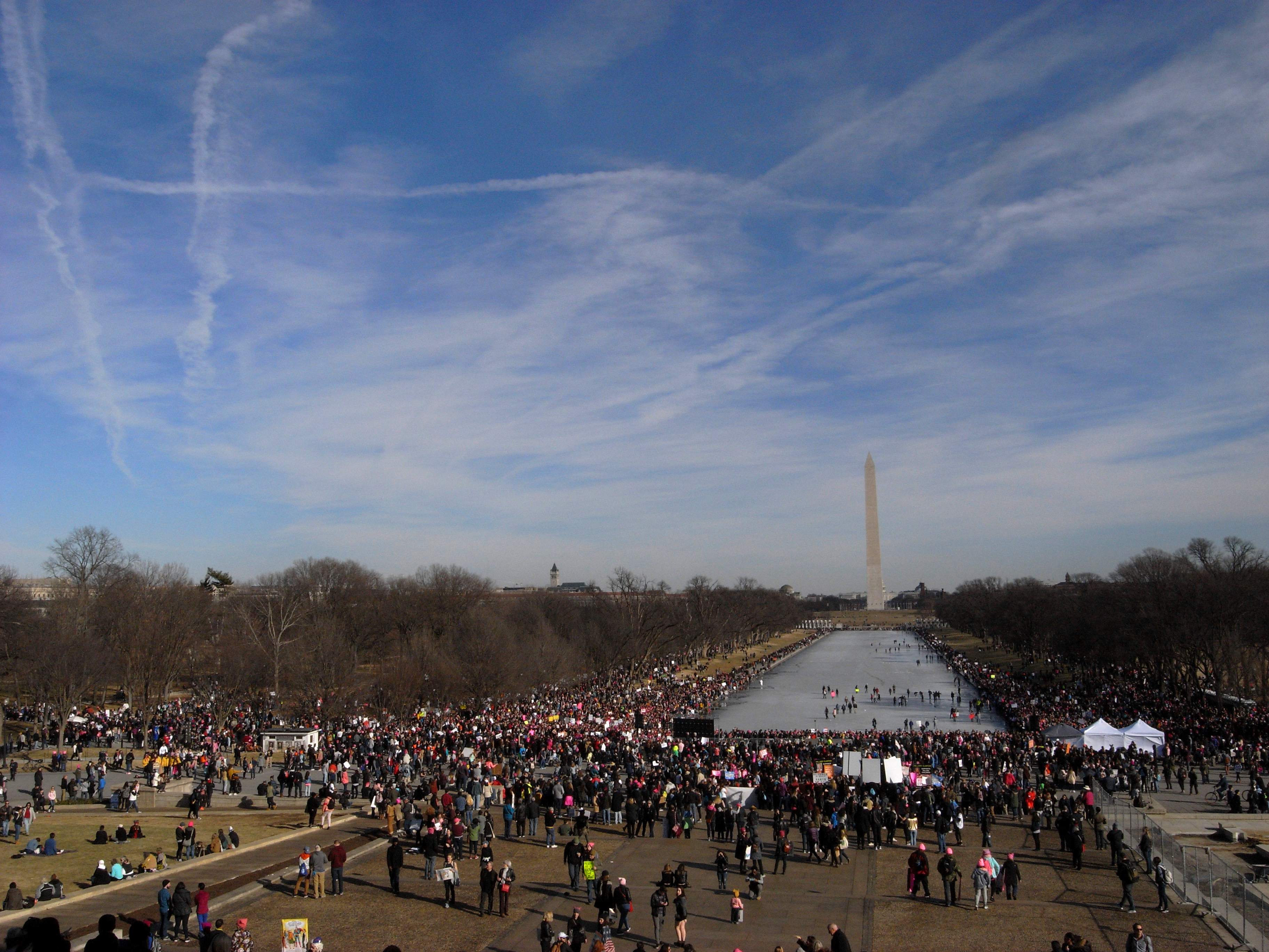
Parallel contrail stripes near Washington, DC, can be seen on the GOES-16 images of the day.Here are some contrail photos I took in Washington, DC on Jan 20, 2018, from approx 1:30 to 3 pm. Whatever the exact mechanics of contrail preservation are, they were in effect that day along this air corridor...
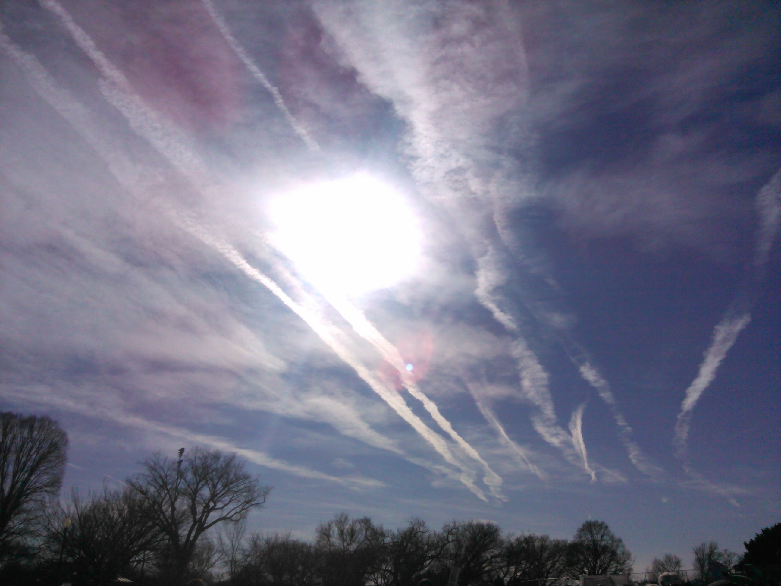
Here are a battalion of new trails, which thereafter spread out...
Here is a link to their time-lapse: http://col.st/4kIdw