Anna Reynolds
Member
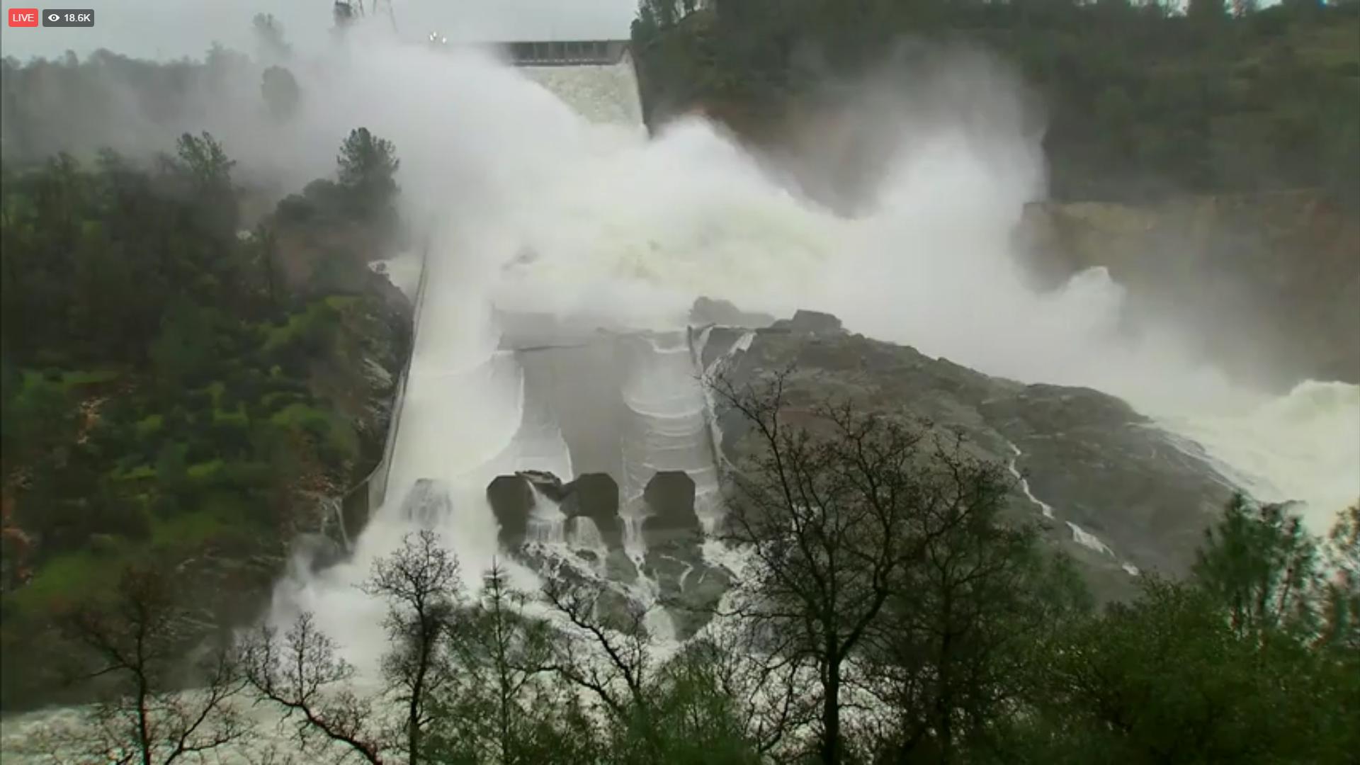
Fox News is currently sharing live video of the spillway flow on their Facebook page. I hope Facebook is an acceptable link, I didn't not see a mention otherwise in posting guidelines but please delete if not.
Live video link (mobile): https://m.facebook.com/story.php?story_fbid=10155128737211336&id=15704546335
Desktop: https://www.facebook.com/FoxNews/videos/10155128592566336/

Live video link (mobile): https://m.facebook.com/story.php?story_fbid=10155128737211336&id=15704546335
Desktop: https://www.facebook.com/FoxNews/videos/10155128592566336/
Last edited by a moderator: