
Trailspotter
Senior Member.
These flickr photos of an unusually shaped contrail were taken on 14-May-2015 in Hamilton, Ontario:
and University of Toronto:
The time of the latter, 13:23, is probably EDT (17:23 UTC), whereas the time of the former, 12:56 is probably EST (17:56 UTC).
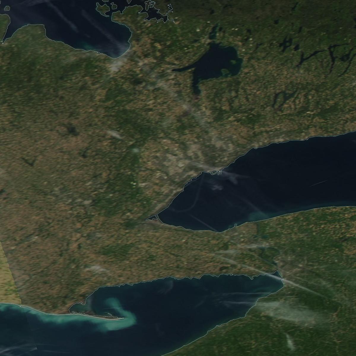
A partial contrail loop is also seen above Lake Ontario in the Aqua satellite image taken at 17:40 UTC:
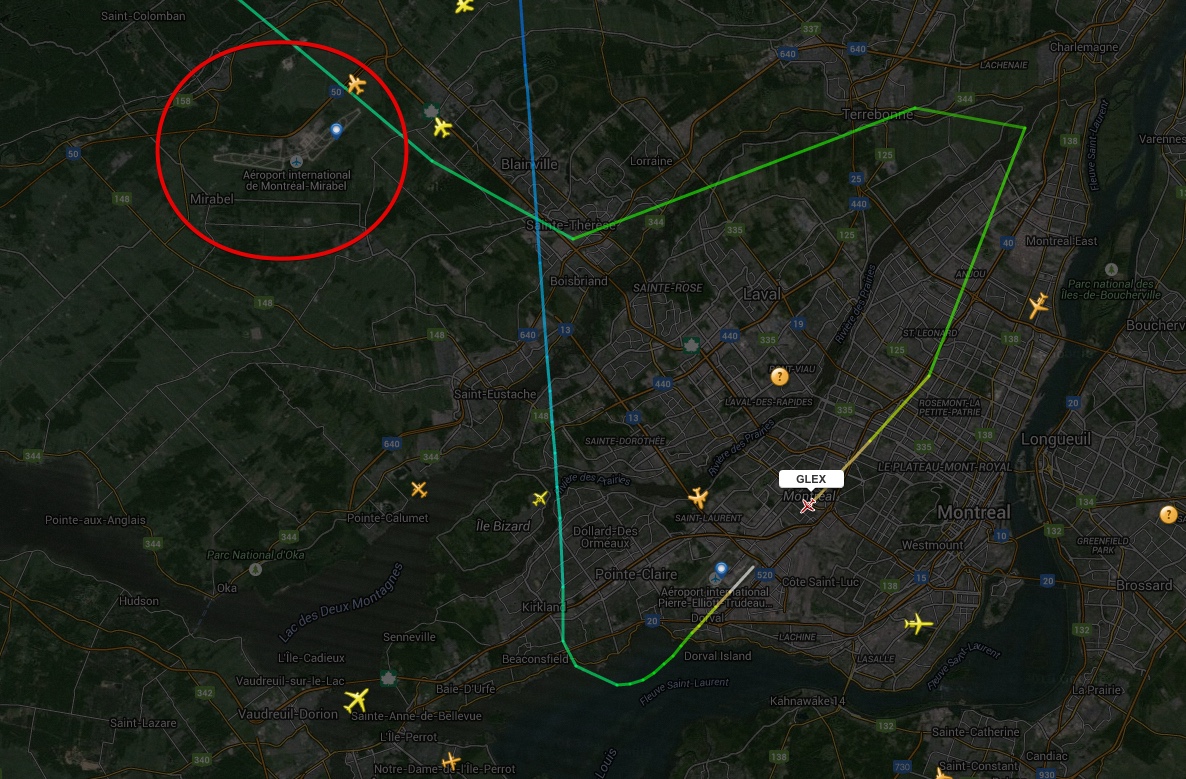
FR24 playback from 17:10 UTC shows that there was indeed a plane making such a turn at 43,000 ft above the area at about 17:20 UTC:

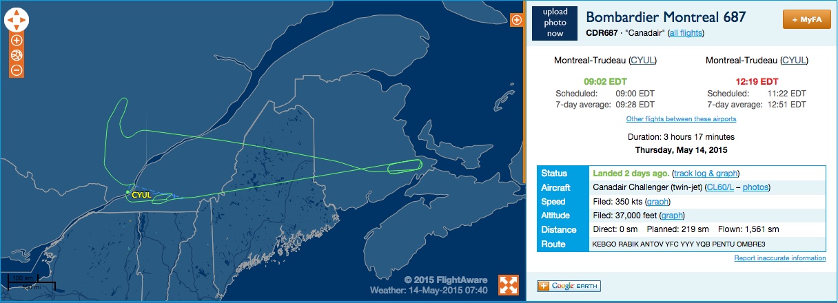
This was a Bombardier Global 6000, but, unfortunately, there is no tail number or other ID shown on FR24. Having originated in Montreal, the flight followed a rather odd path and returned back to the origin:

The purpose of this flight remains a mystery to me. Perhaps, somebody can shed light to it. I wonder if this contrail was noticed by others and discussed on fora or social networks.
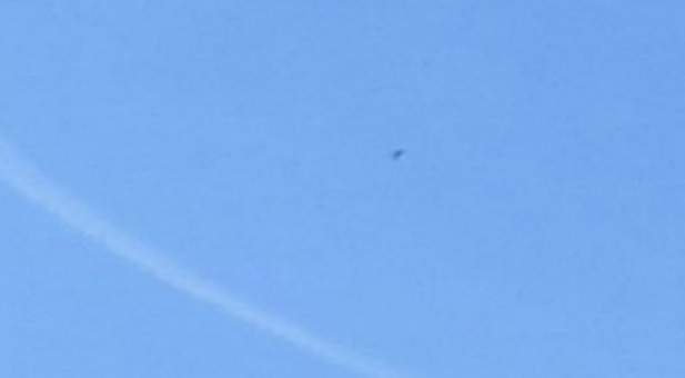
UPDATE: It probably was a test flight, see the comments below. There is another picture of the contrail loop taken in North York, Toronto at about the same time as the Aqua satellite image:
and University of Toronto:
The time of the latter, 13:23, is probably EDT (17:23 UTC), whereas the time of the former, 12:56 is probably EST (17:56 UTC).
A partial contrail loop is also seen above Lake Ontario in the Aqua satellite image taken at 17:40 UTC:
FR24 playback from 17:10 UTC shows that there was indeed a plane making such a turn at 43,000 ft above the area at about 17:20 UTC:
This was a Bombardier Global 6000, but, unfortunately, there is no tail number or other ID shown on FR24. Having originated in Montreal, the flight followed a rather odd path and returned back to the origin:
The purpose of this flight remains a mystery to me. Perhaps, somebody can shed light to it. I wonder if this contrail was noticed by others and discussed on fora or social networks.
UPDATE: It probably was a test flight, see the comments below. There is another picture of the contrail loop taken in North York, Toronto at about the same time as the Aqua satellite image:
Last edited:


 )
)
") but that second pic of the vid from the bottom of your post is a nice shot of how as the planes get further away the trail is closer to the horizon.
but that second pic of the vid from the bottom of your post is a nice shot of how as the planes get further away the trail is closer to the horizon.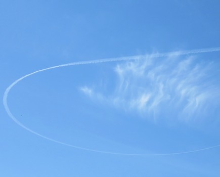
")

