NWS AFD 3am 2/18: Main
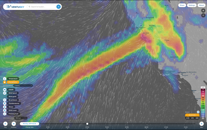
precipitation shield will then move in Sunday
evening into Monday with widespread moderate to heavy rain and snow.
PWAT values on the order of 1+ inches with return intervals in the
5-10 year range.
Precipitation will continue into early Tuesday.
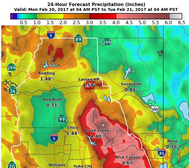
Latest model runs have shifted corridor of heaviest
precipitation
a bit south from yesterday when the highest amounts seemed focused on
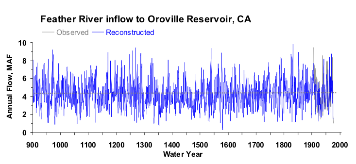
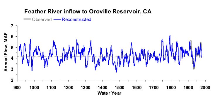
the Feather
River Basin. Focus now seems to be around I-80 corridor
and southward. This would further stress the Cosumnes and San Joaquin
River basins. Regardless impressive amounts across the Sierra due to
orographic nature with totals ranging between 4-8 inches.


