Igrokush1
Member
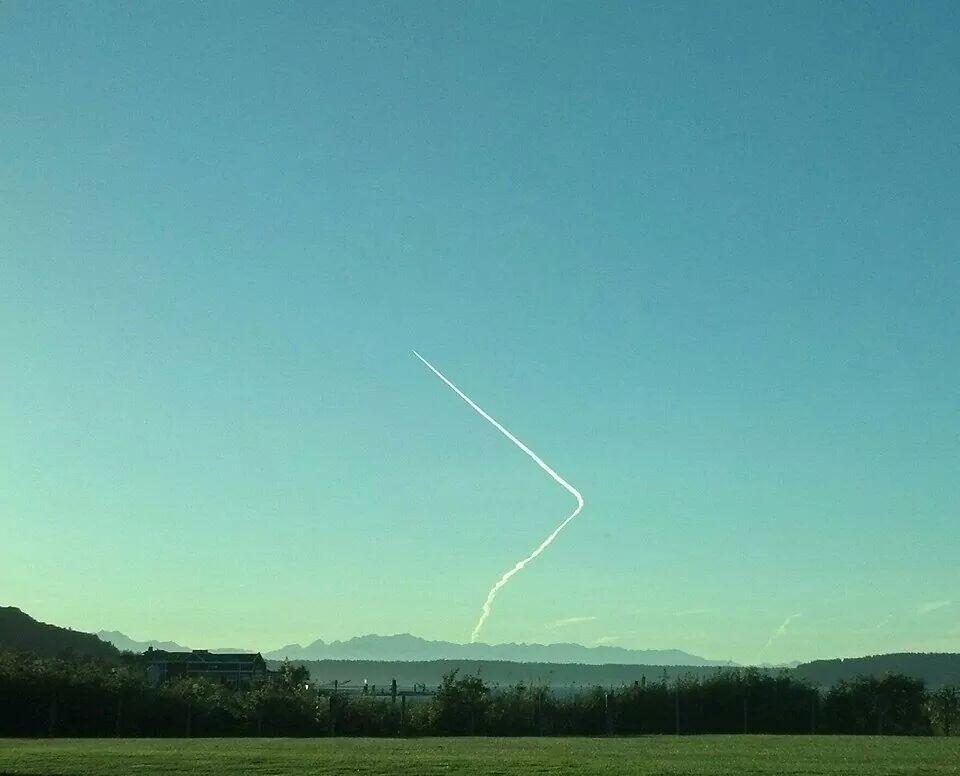
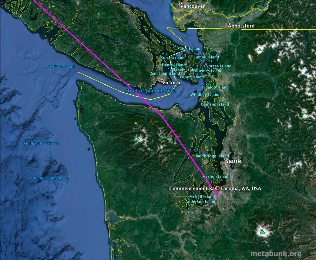
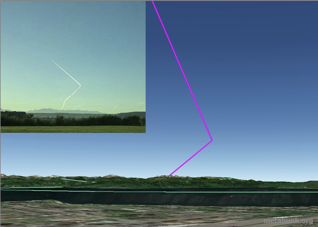
Can the fellow debunkers please help with Redding, CA. Sunday May 10th from 10am til about 1:00pm the sky was completely filled with contrails patterns resembling a boomerang, in directions of N,S,E,W. Along with the famous cross cross and tic tac toe patterns. We counted nearly 30+ contrails. The ones that I found most interesting were those that you could follow, making a boomerang shape and coming back to origin. I will attempt to post a pic but have reception issues so it takes awhile. The flight app I still don't have.


Last edited by a moderator:


")