mudr0
New Member
A claim [on Facebook] is being made that Australia was not visible from the moon at the time logs indicate and would not be able to transmit a direct signal to the Parkes Radio Astronomy Site in New South Wales, for television broadcast. The claimant is borrowing some of his argument from AULIS, specifically from this page:
http://www.aulis.com/moon-earth.htm


http://www.aulis.com/moon-earth.htm
https://www.hq.nasa.gov/alsj/a11/im...yxZYR3uCgDHd3v3p1RjbBE0haUN_qY5wjcw85RCHd_vl0External Quote:This evidence relates to the televised live broadcast of the Apollo 11 moon landing of Buzz Aldrin and Neil Armstrong on July 20, 1969, at 20:17 UTC.
The purported live broadcast from the Luna surface is said to have been broadcast directly from the Luna surface to the Parkes Radio Astronomy Site in New South Wales. In order for the Parke's Radio Astronomy Telescope to receive any signal originating from the Luna surface it would have to have a direct line of sight between the antenna from which the signal was being sent and the Radio Astronomy Telescope Receiver.
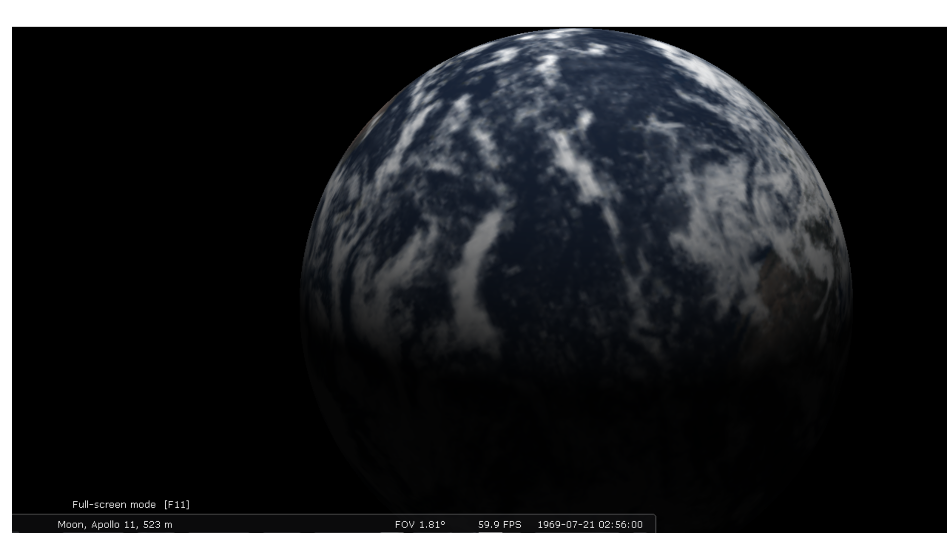
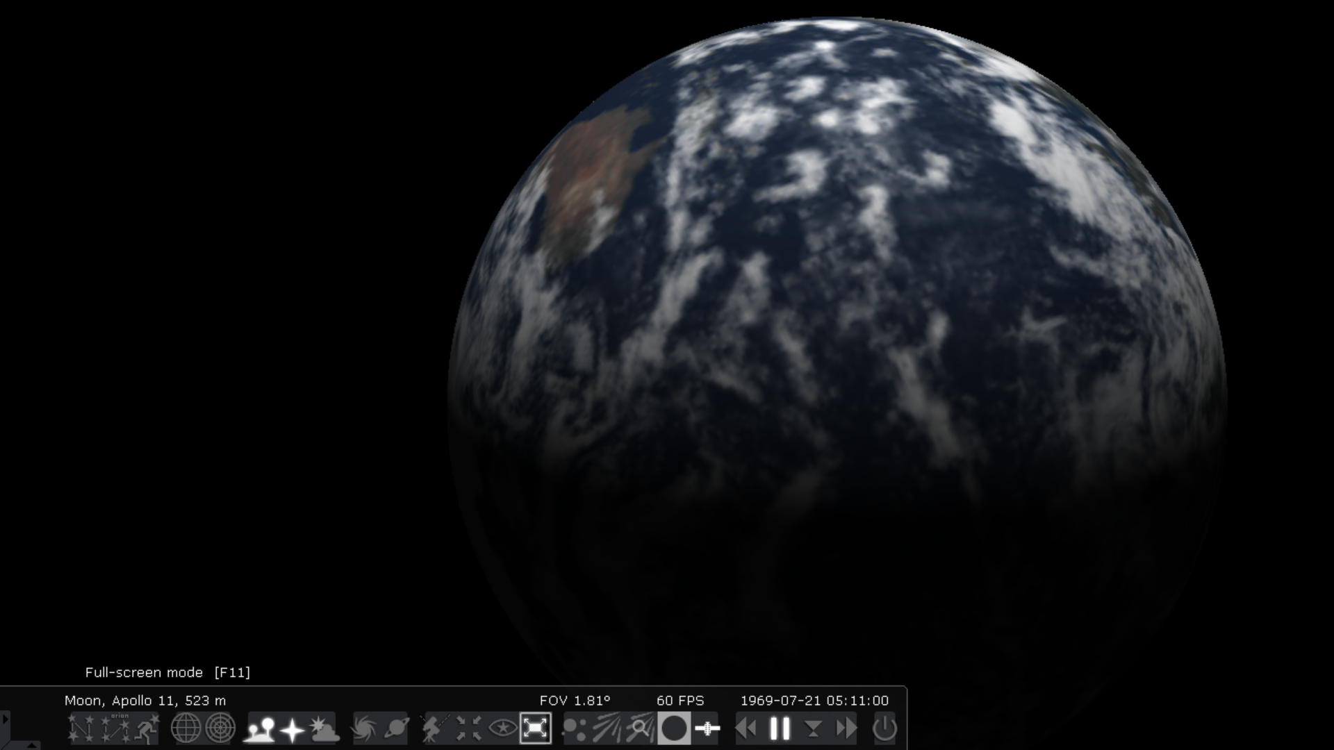
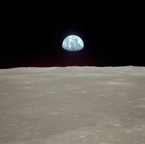
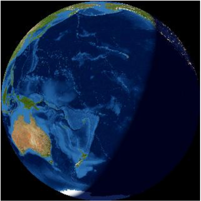
The images we are provided with by NASA (Which are fake composite images - made up of two separate images) Show Australia on the top left at approximately 11'oclock coming into view, using the starrynight software we know without doubt that this could not be the case, notwithstanding that Earth's orientation is utterly wrong from what we should have seen at that time, and we know exactly what time reference it was because we have that information in the NASA flight log. What you ought to have seen is the Atlantic Ocean with South America and part of Africa (as seen in "b, Atlantic Ocean with South America and part of Africa" below. Australia was neither visible from the surface of the Moon, nor from lunar orbit at that time.
Knowing Australia was neither visible from the surface of the Moon, nor from lunar orbit I questioned why NASA would place Australia in their fake composite images, I realized that NASA did this because it was necessary to have Australia visible for the direct live link television broadcast.
However as stated using the starry-night software it is extremely apparent that Australia was not visible, indeed Australia at that time was almost on the other side of the planet, without Australia being visible it would not have been possible to have a direct television signal link between the surface of the moon and Australia, this is absolute, irrefutable evidence that it was impossible for NASA to broadcast live from the Luna surface at the time stated.
I provide the links by way of evidence to substantiate my assertion that it was absolutely impossible for the live broadcast to have occurred from the Luna surface and put the reader or any researcher or indeed NASA to strict proof that contradicts this irrefutable evidence.
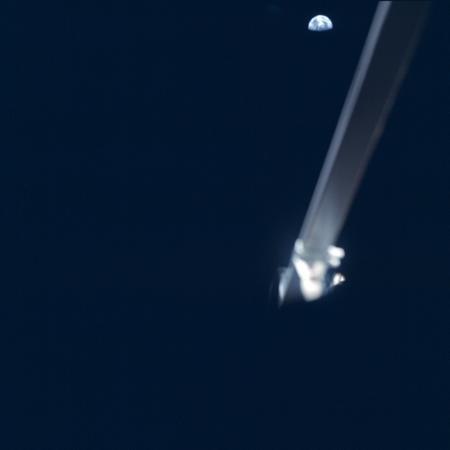
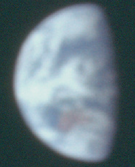
Earth photographs taken during the Apollo 11 mission
a) Part of frame AS11-44-6553 from lunar orbit.
b) Part of frame AS11-40-5924 from the lunar surface.
Atlantic Ocean with South America and part of Africa images of Earth visible from the Moon at specific elapsed times (GET):
a) 85 hr 55 min, Rev 6; sleeping time for the crew, the CM is behind the Moon
b) 100 hr 12 min, undocking the LM from the CM on Rev 13
c) 110 hr 50 min, the crew on the lunar surface – the two images with Earth.
Last edited by a moderator: