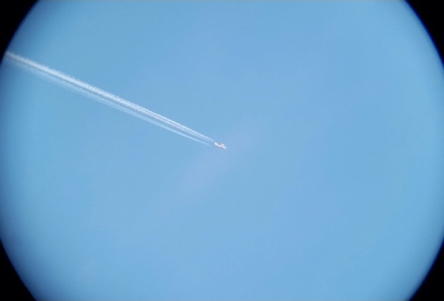
I looked at your photo, and no. That is not a "downward descent". I think it's been explained previously how perspective plays tricks on our perception.
QUOTE from "MikeC", just above is accurate:
There are relevant threads that explain this, here on MB. I will jump off and search for them.
Before I go, I want to add quickly: Many here are trying to help, by debunking what are (please no offense) common misconceptions. This is partly because there is a divergent community (here) of many aspects of experience levels. But, often it boils down to personal, life experience that is attempted to be shared, to help others to comprehend.
NEVER is it meant as disparaging. It is hoped that info here is looked at and then "vetted", by whatever means. In order to verify it. The Internet has become a very interesting place, and of course....not everything that a person reads (on the Internet) is necessarily accurate. "Vetting" involves digging deeper. Into the "source". This is what most professional journalists do, and have always done. It is not "easy"...but it is the best, most accurate method.
(Edit)....trying to find relevant threads. This one is useful (though, not here I guess) to explain the "patterns" of contrails:
https://www.metabunk.org/threads/contrail-pattern-simulator.3157/
There is a recent post that shows how distance plays a role in the "illusion" that a contrail, although it is perfectly horizontal to the plane of the Earth's surface, appears to be "lowering" as it get farther away. (Think about this: The Earth is curved, yes? Thus, the contrail is "curved" too (on a HUGE scale, of course)....even though the airplane remains at the SAME height above the ground!).
The above is also seen, at ground level, when a viewer using a telescope watches a ship go "below" the horizon, as it sails away.....


")
")