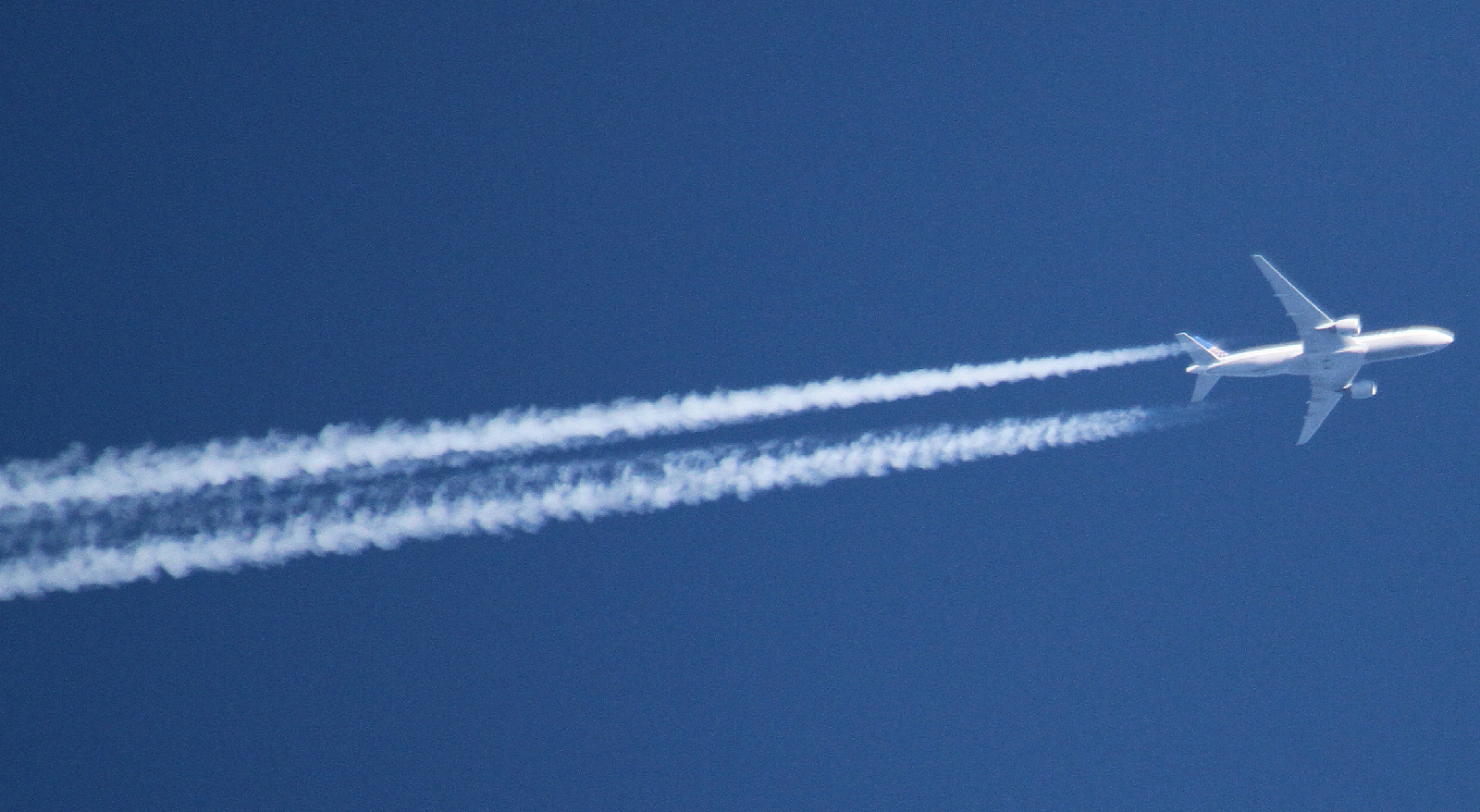
I did not expect to see many contrails on my trip to Israel. Presumably due to political reasons, there are almost no commercial flights crossing its territory, whereas the international flights originating or terminating in the Tel Aviv airport go straight toward or from the Mediterranean Sea, so they are well below the contrail altitudes while flying over the land.
On FR24, I could have found only one airline that flies across the Israeli territory,
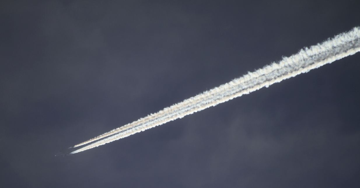
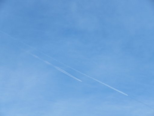
Royal Jordanian. While visiting Tel Aviv on February 16, 2015, I've spotted its two consecutive flights leaving contrails:
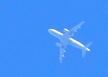
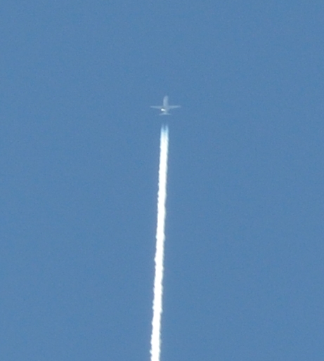
The top trail is RJA111 and the bottom one is RJA125, the trail-less plane near the palm tree is ACA84.
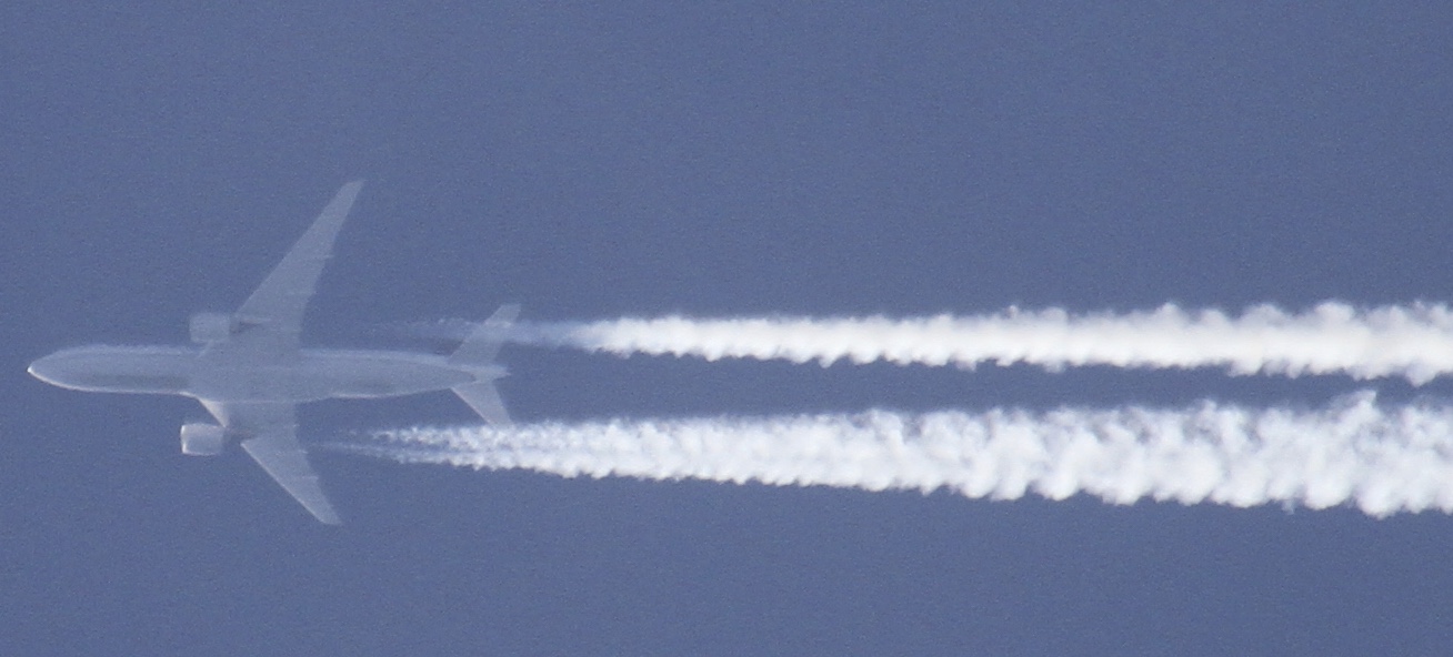
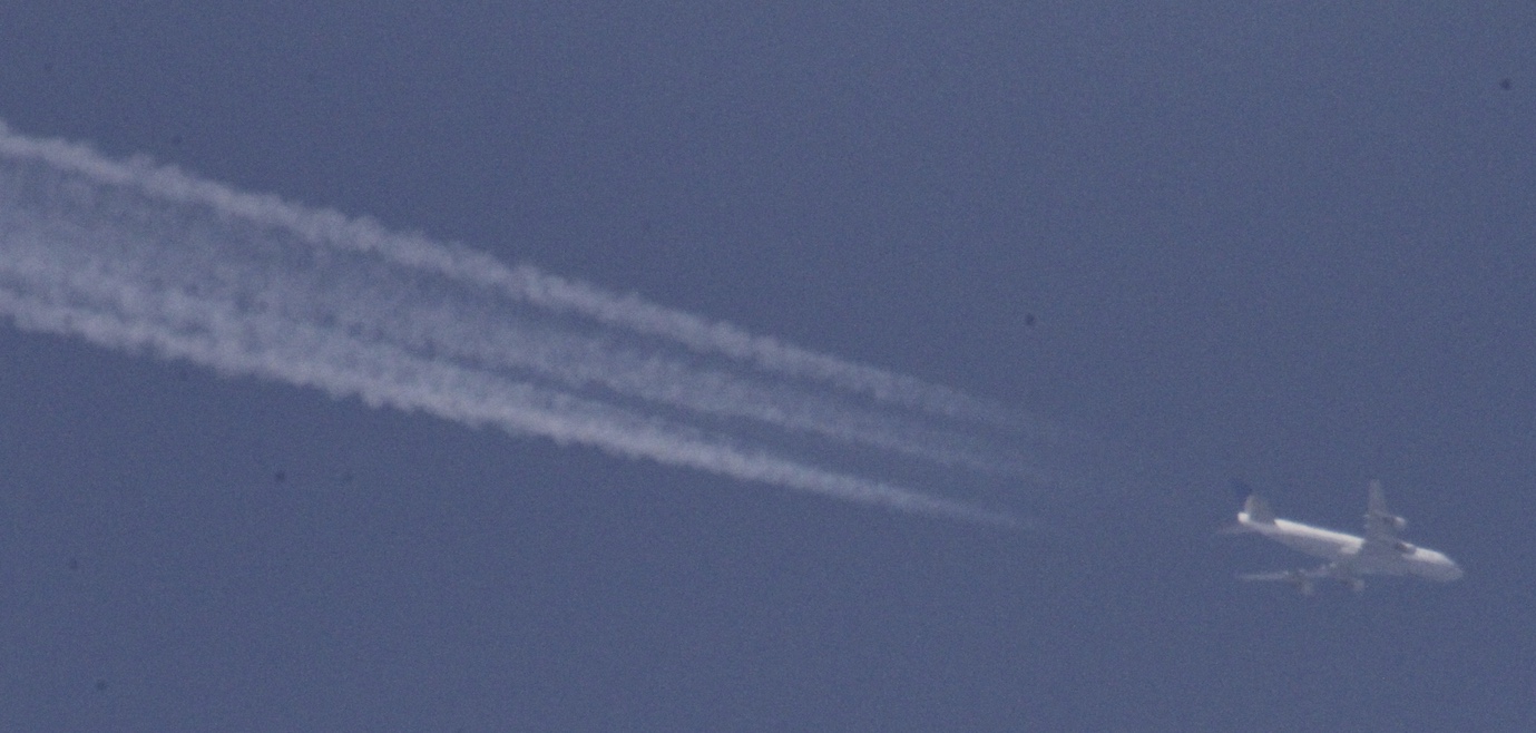
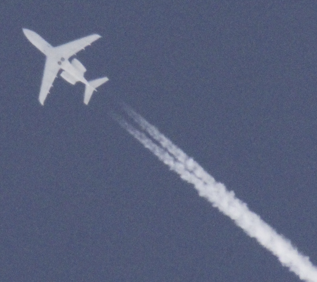
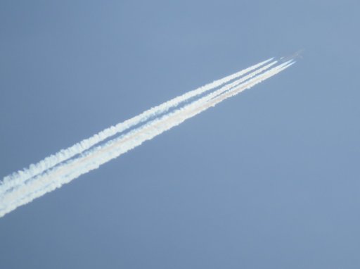
I have spotted RJA111 a minute before it began to produce a contrail. In the full-size image it is possible to recognise its registration number JY-BAA on the port side tip of the wing:
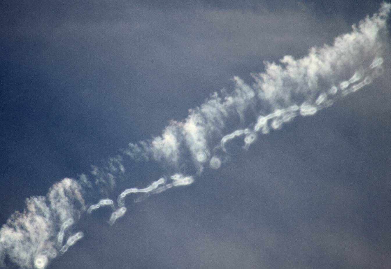
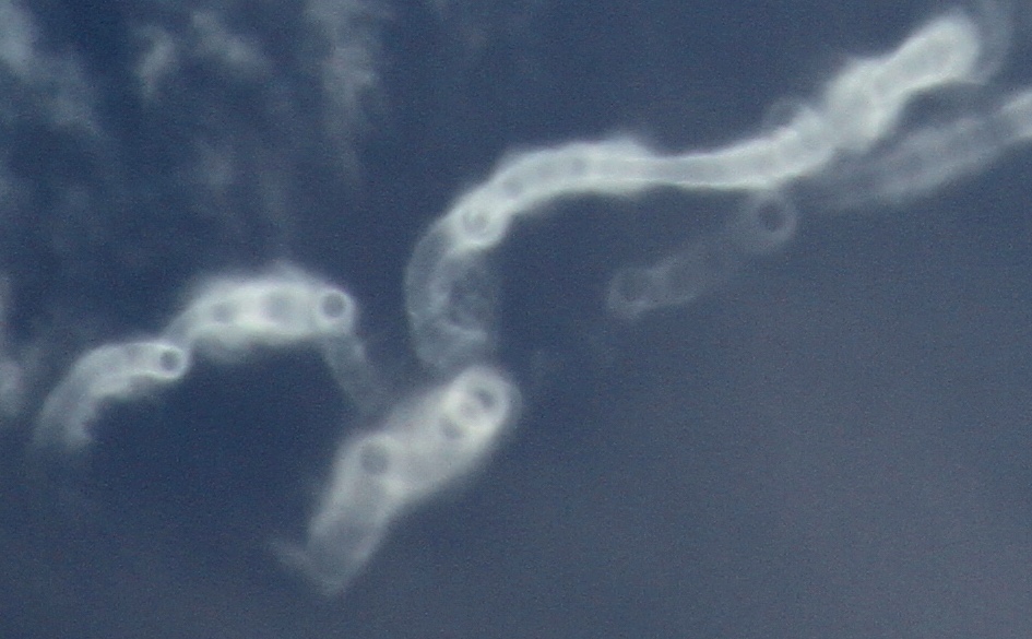
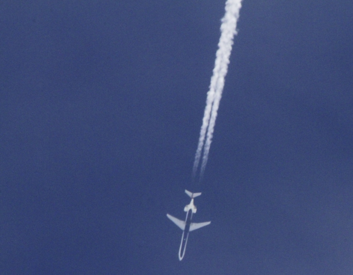
Interestingly, by accident or intentionally, the plane paused its climb and even dipped down a bit above Tel Aviv, so its contrail appeared when it already was above the sea:
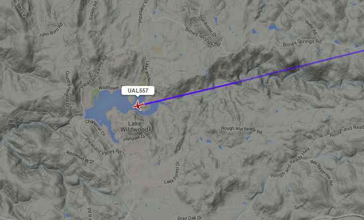
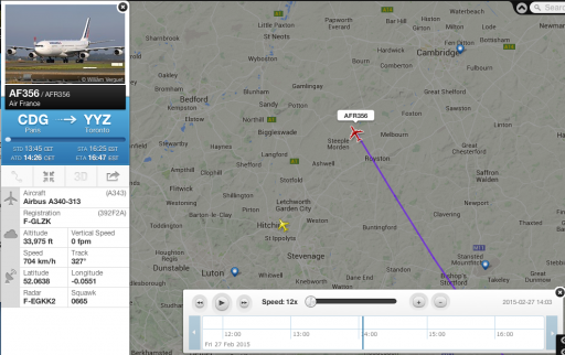
Below is the JRA111 flight track from FlightAware seen from approximately the same location on Google StreetView:
It is not just the Royal Jordanian Airlines who spray Israel with hazardous
dihydrogen monoxide, the Israeli Air Force does it too with great zeal
")
:


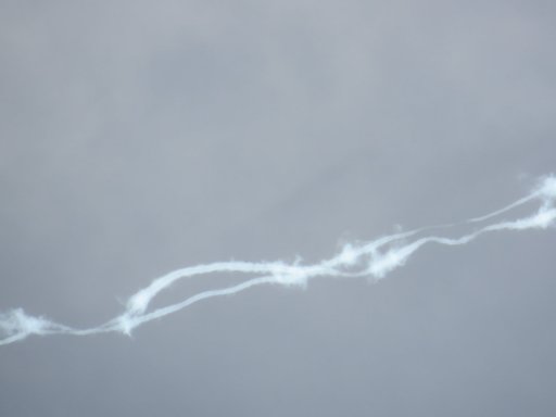
") . No persistent contrails.
. No persistent contrails.