View attachment 24619
Again, thank you Mick for the fantastically clear imagery.
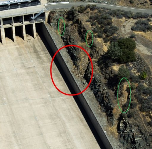
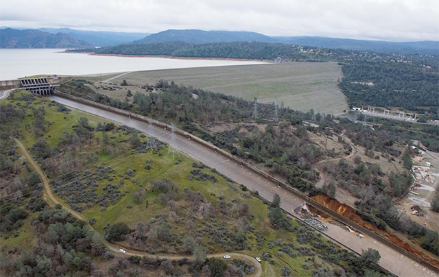
A possible area of interest, were there to be large flows over the spillway again might be the area in your second image, next image below the Reagan image of post # 496 .
From the intersection of the roadway and the right apex of the red ellipse proceed counterclockwise along the ellipse to the main concrete spillway. This currently is higher topography (unkown, but likely based on appearance, topos or different perspectives would clarify this point) perhaps soil, perhaps buried rock similar to the "bedrock" in (post #438) ----[ just east of the main spillway at the very top which had the stepped cuts and the softer eroded parts which dumped tiny debris atop the "gray gravel" immediately adjacent to the east bank of the concrete spillway outlined by the red lines in the image of post # 438 ][ awkward....The red lines in post#438 .]
Given that the tiny bit of debris overlays the "gray gravel" (for lack of a more descriptive term) , that indicates the erosion happened subsequent to dam construction , ( i.e. less than ~ 50 years ago). This gives some sense of the competency of those "debris bands" in the "hard bedrock". This does have an effect on erosion by water flow. High water flows often undermine the banks of channels , as they do this the channel bank migrates. In this case , eastward migration of the channel bank along the trace of the red ellipse might be worth monitoring.
Again, not having the photo and computer skills to accomplish this, it might be a worthwhile endeavor to have a daily photograph correlated with flows which tracked any cutbank migration.
This would only occur in the case of the auxiliary being used.
When Reagan arrived for the inauguration of the dam in 1968 they landed the helicopters on the intake areas of the man spillway. The rocks behind him are part of the ridge that separates the main spillway from the e-spillway and should prevent any procession of damage in the event of the e-spillway failing.
Basically this whole area is a rock ridge through which the main spillway is cut, making it very stable at the top.
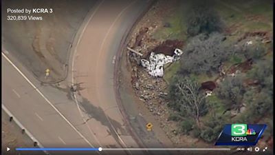
View attachment 24620
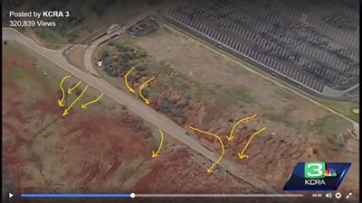
View attachment 24621
This video is poor quality, but shows the spillway up close
Source: https://www.youtube.com/watch?v=XZO_744b_Gs
