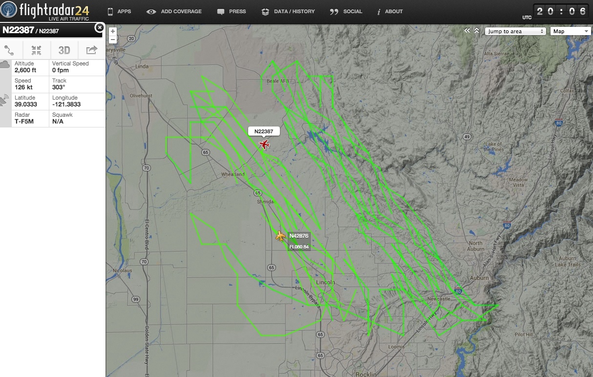
That's an odd looking flight path. Interesting though that it's only at 2,600 feet. It certanly won't be leaving any contrails.
My first though was cloud seeding, but it seemed like rather too much flying for that. Then I though maybe a rather over-zealous flight student practicing turns. However looking at the registration of the plane:
http://flightaware.com/resources/registration/N22387
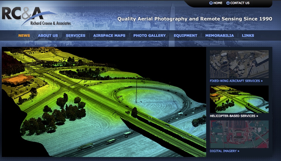
We see it's a 1977 Piper PA-23-250 registered to "Richard Crouse and Associates". A quick google of that gets us to:
http://www.richardcrouse.com/
External Quote:
RC&A provides photogrammetric stereo aerial photography and remote sensing from our fleet of 10 aircraft, which serve as platforms for six Leica RC-30 film cameras, 2 Zeiss RMK Top film cameras, three Intergraph Digital Mapping Cameras and one Optech DiMAC digital camera.
Additionally we now offer LiDAR data collection using a state of the art system that couples a Riegl LiDAR sensor with a Leica RCD-30 medium format digital camera. LiDAR data and imagery can be collected simultaneously or independently of one another, and the system can be mounted in our helicopter or one of our Piper twin engine aircraft.
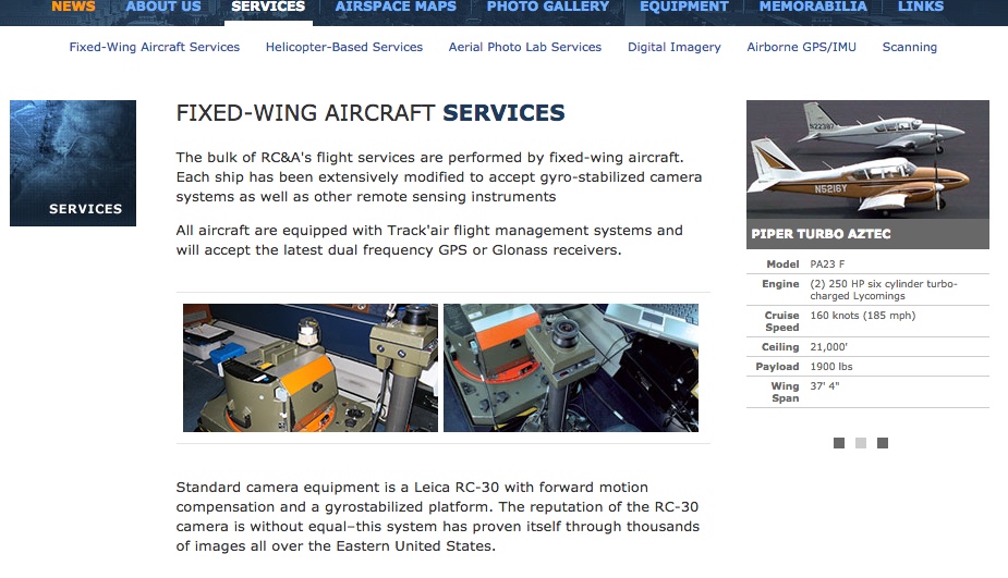
(N22387 is shows in this image, at the back)
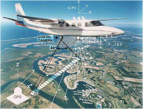
It's doing LiDAR scanning, which combines taking photographs with scanning the ground and building contours with a laser. This is how you get 3D buildings in Apple Maps etc.