
psilyguy
New Member
Here's the bombshell!
Source: https://www.youtube.com/watch?v=CG4FiwOat_w
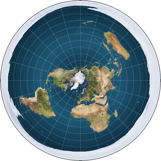
The largest company that tracks flight information, 260 million aircraft positions per day, states at the 1:34 mark they do not use satellite tracking ["there is currently no satellite based tracking system for aircraft"]. That brings to the table the Australia to Chile flight would be impossible on the globe model. As I've said from day one nothing self orbits because this is not a globe.
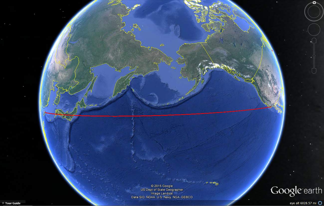
TWCobra I know you take this flight quite often, however it's obvious the data you are handed and the supposed flight route appears you are on a globe. What would happen if you had to make an emergency landing and found yourself somewhere else than what the (NASA) data told you? There's plenty of examples of this.
Just Google: 'emergency air landings flat earth'
Source: https://www.youtube.com/watch?v=CG4FiwOat_w
The largest company that tracks flight information, 260 million aircraft positions per day, states at the 1:34 mark they do not use satellite tracking ["there is currently no satellite based tracking system for aircraft"]. That brings to the table the Australia to Chile flight would be impossible on the globe model. As I've said from day one nothing self orbits because this is not a globe.
TWCobra I know you take this flight quite often, however it's obvious the data you are handed and the supposed flight route appears you are on a globe. What would happen if you had to make an emergency landing and found yourself somewhere else than what the (NASA) data told you? There's plenty of examples of this.
Just Google: 'emergency air landings flat earth'
Last edited by a moderator:
")

")