cmnit
Member
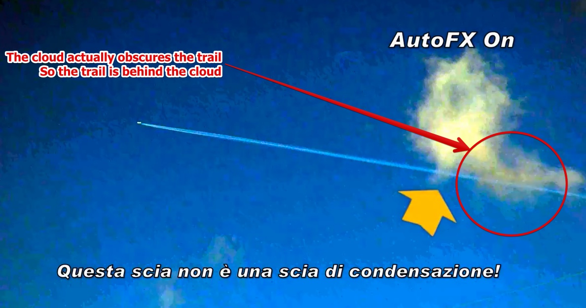
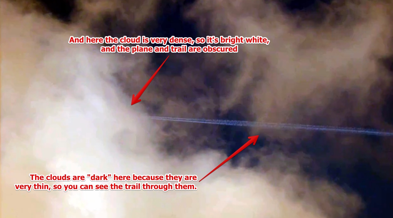
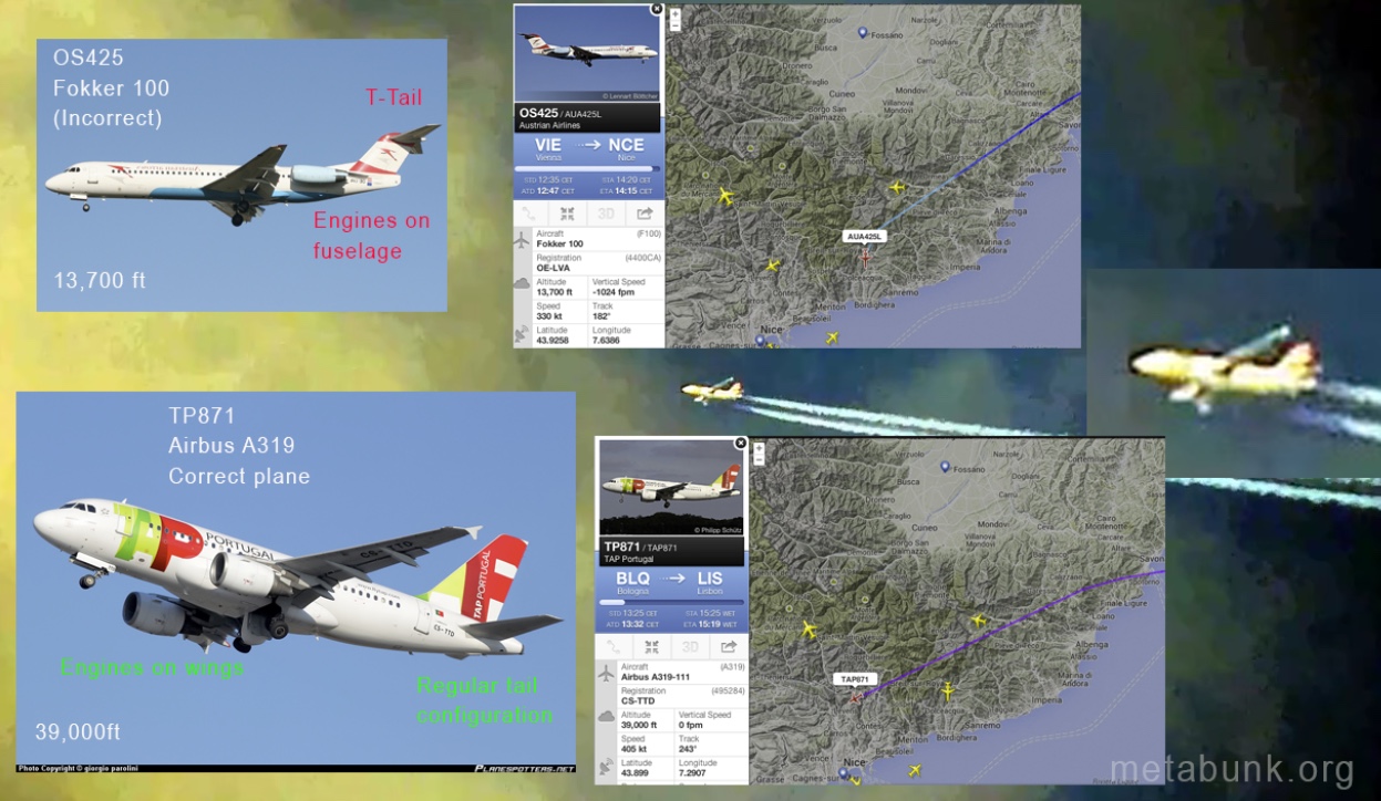
Update: The plane in the video claiming low altitude contrails was misidentified, and was actually flying at 39,000 feet, see discussion in thread below.
Original first post follows:
------------------------------------------------------------------------------------------
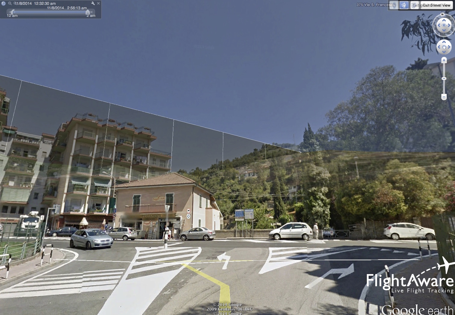
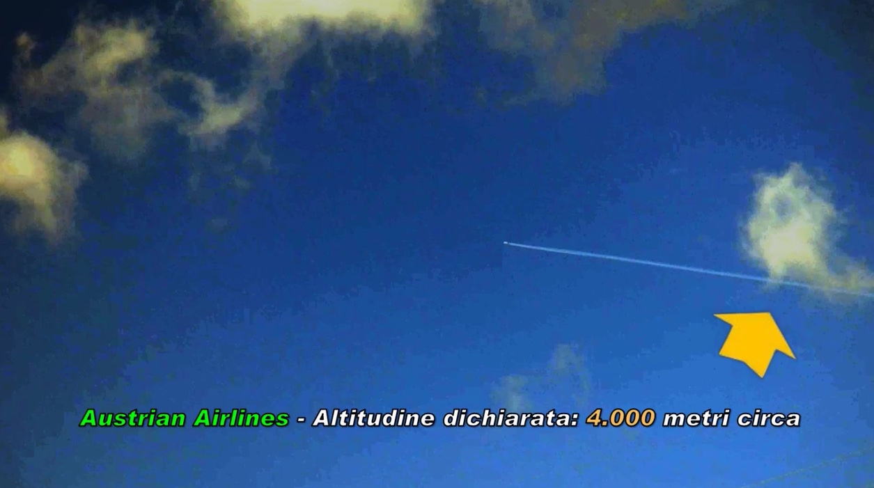
The latest video by Rosario M. "The Antitanker", involves a FlightRadar24 reading which seems incompatible with a contrail seen from the plane:
Honestly it is difficult from the video to understand the connection btw the plane releasing the contrail (as seen from Liguria, Italy) and the FlightRadar24 reading, an Austrian Airlines Fokker 100 at 4000m going to Nice.
Any feedback, folks?
Original first post follows:
------------------------------------------------------------------------------------------
The latest video by Rosario M. "The Antitanker", involves a FlightRadar24 reading which seems incompatible with a contrail seen from the plane:
Honestly it is difficult from the video to understand the connection btw the plane releasing the contrail (as seen from Liguria, Italy) and the FlightRadar24 reading, an Austrian Airlines Fokker 100 at 4000m going to Nice.
Any feedback, folks?
Last edited by a moderator:
")