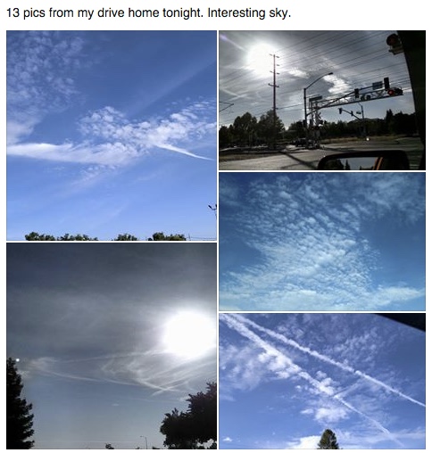
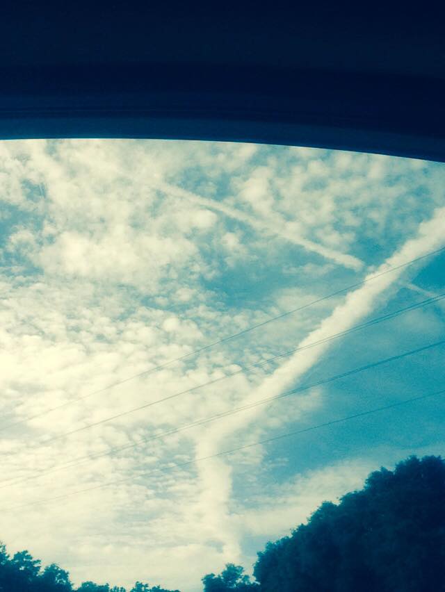
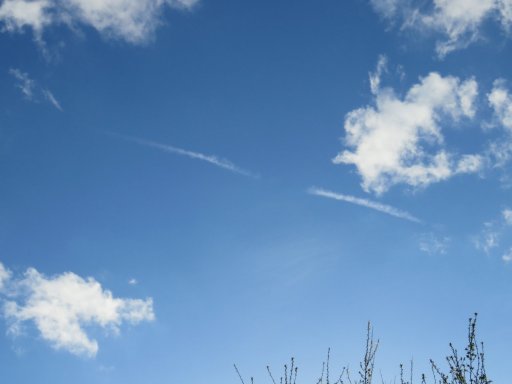
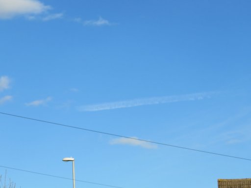
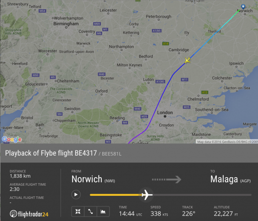
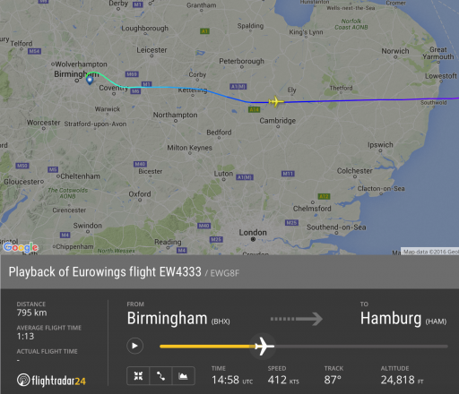
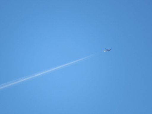
Very interesting skies today, halos, circumhorizon arc, other arcs, ripples, various layers of cloud.
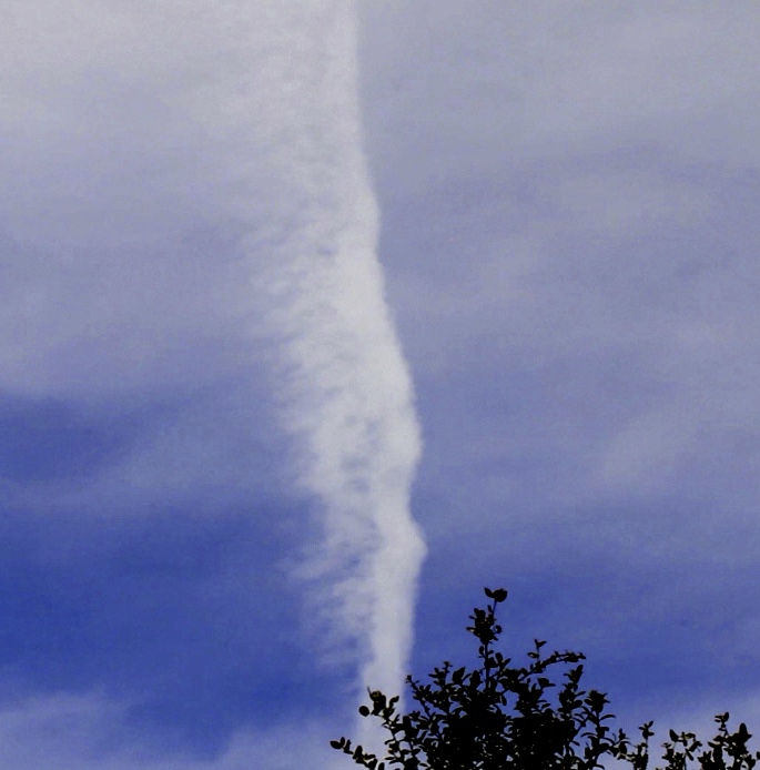
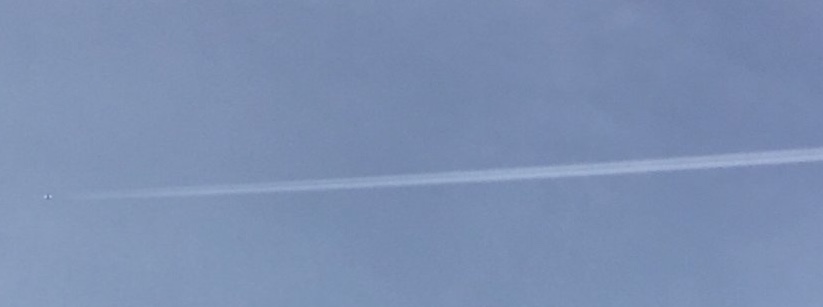
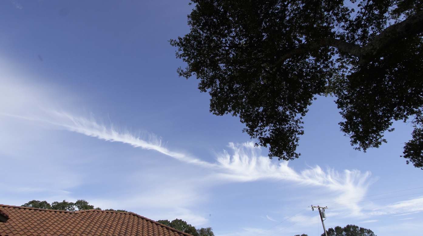
This one caught my eye because it had a dramatic looking bend in it.
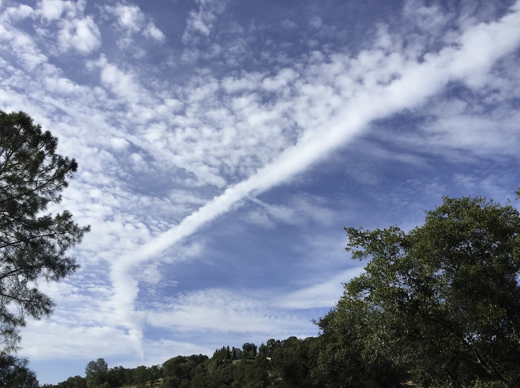
Taken at 00:42 May 29 2015 (today is the 28th, but in UTC it was the 29th), near Bullard, CA. Looking north.
The bend can be explained by perspective, and has been seen many times before, so I thought I'd look it up as an example. But it turned out a bit more interesting. The only candidate was a turboprop at 25,000 feet:
http://www.flightradar24.com/2015-05-29/00:28/12x/N407QX/660c33b
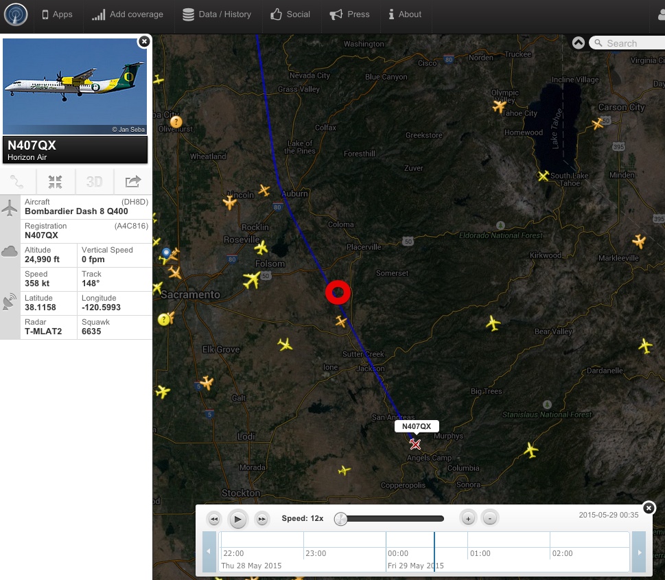
N407QX, QXE555 PDX to FAT (Portland to Fresno)
Not only that, but it went horizon to horizon. (the curve here is due to the panorama perspective. Both sections were perfectly straight, as in the FR24 track)

It also seems to be far more puffy than normal contrails, very similar to the cumulus-like clouds around it.
About five minutes later the trail had moved, seemingly with the clouds.
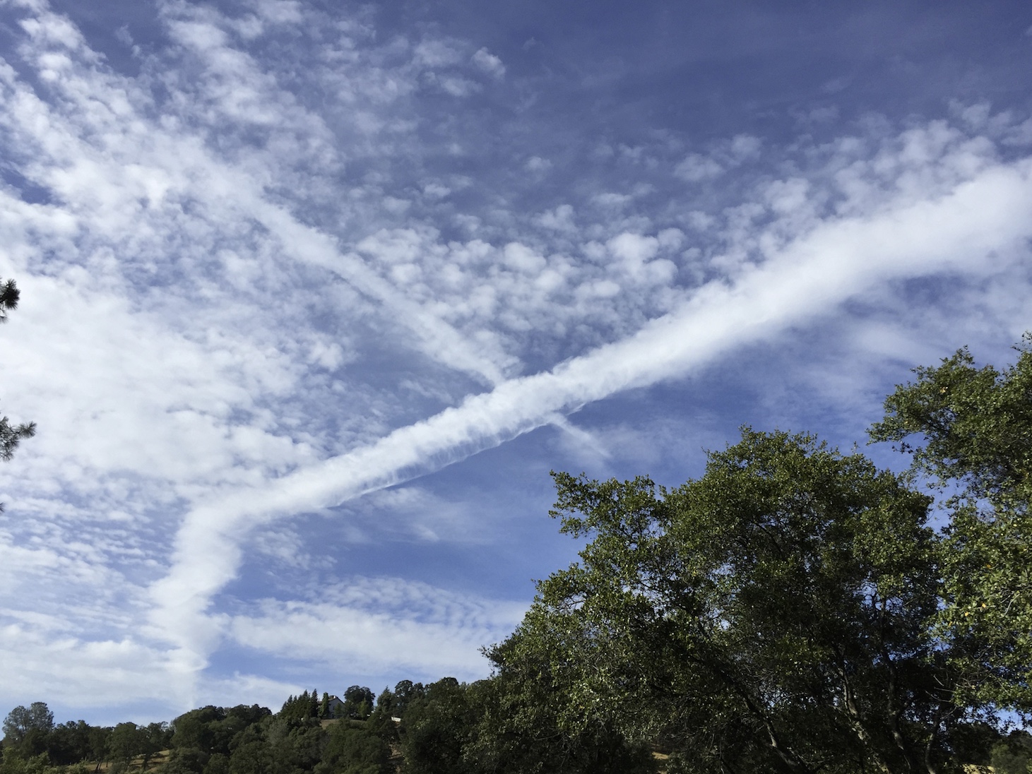
This was something else, illustrative of the atmosphere:
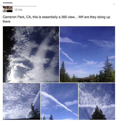
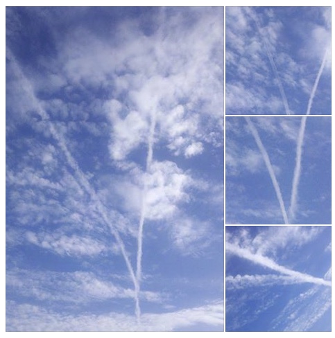
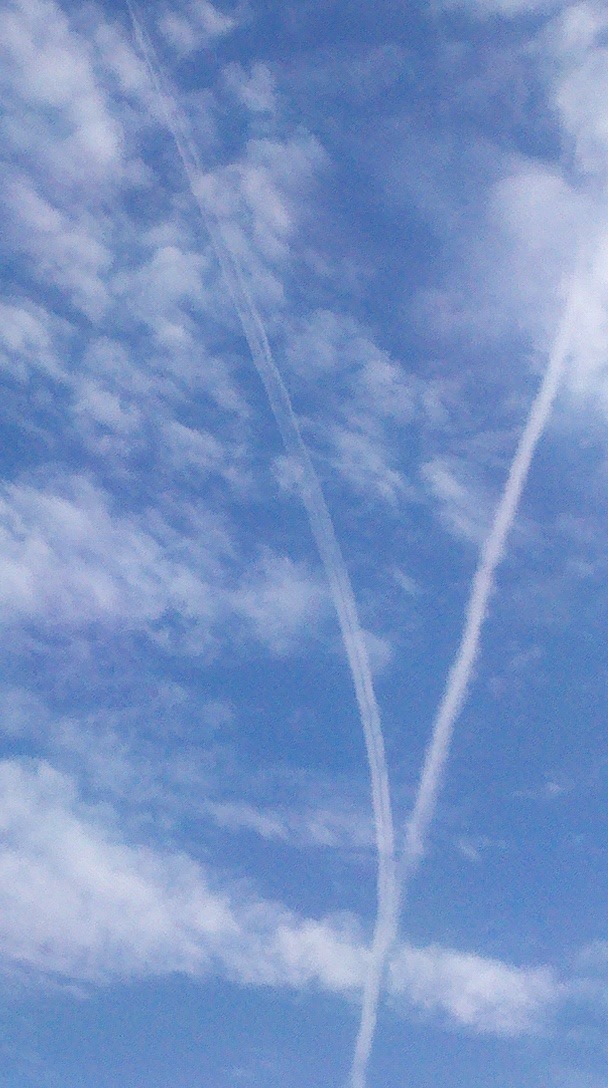
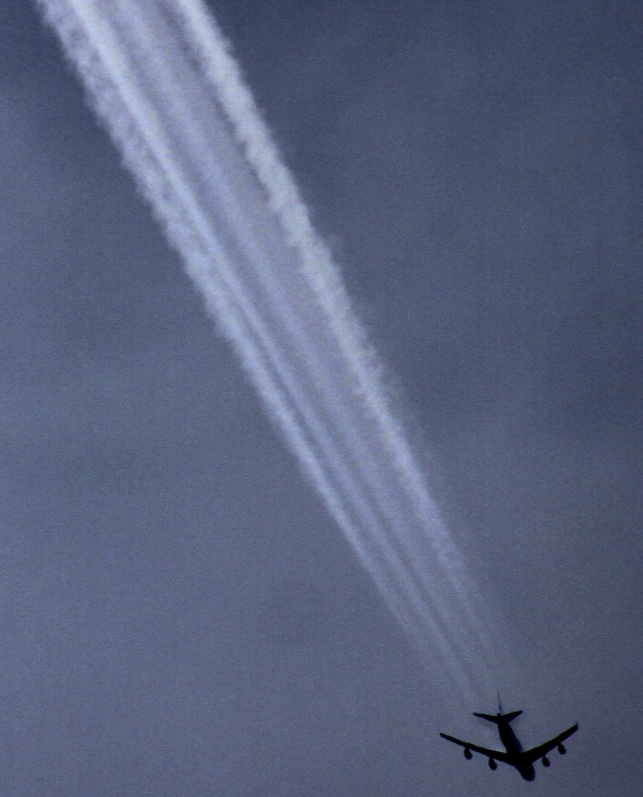
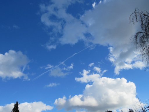
Then, later that day, nearby in Cameron Park, Looking NW I saw:
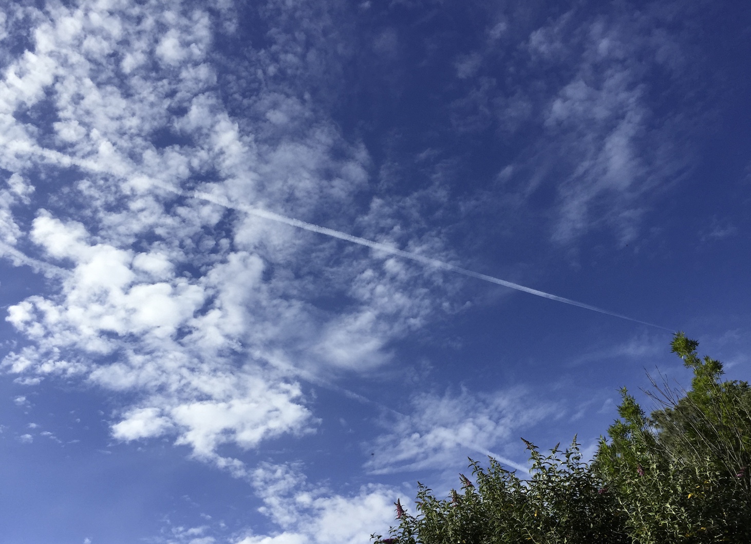
0127:14 UTC, May 29
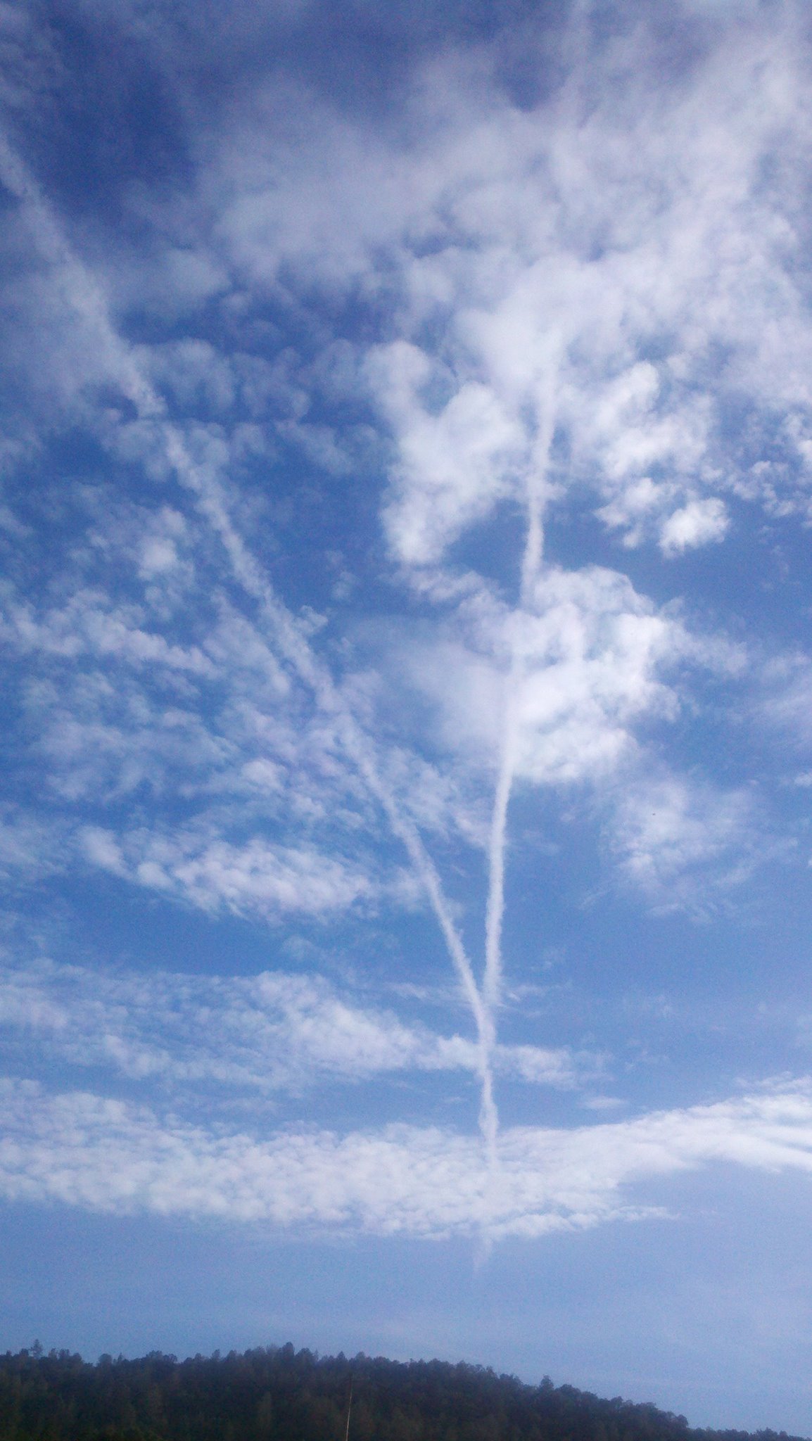
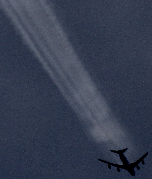
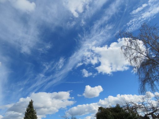
Which, 7.5 minutes later, became (iPhone photos):
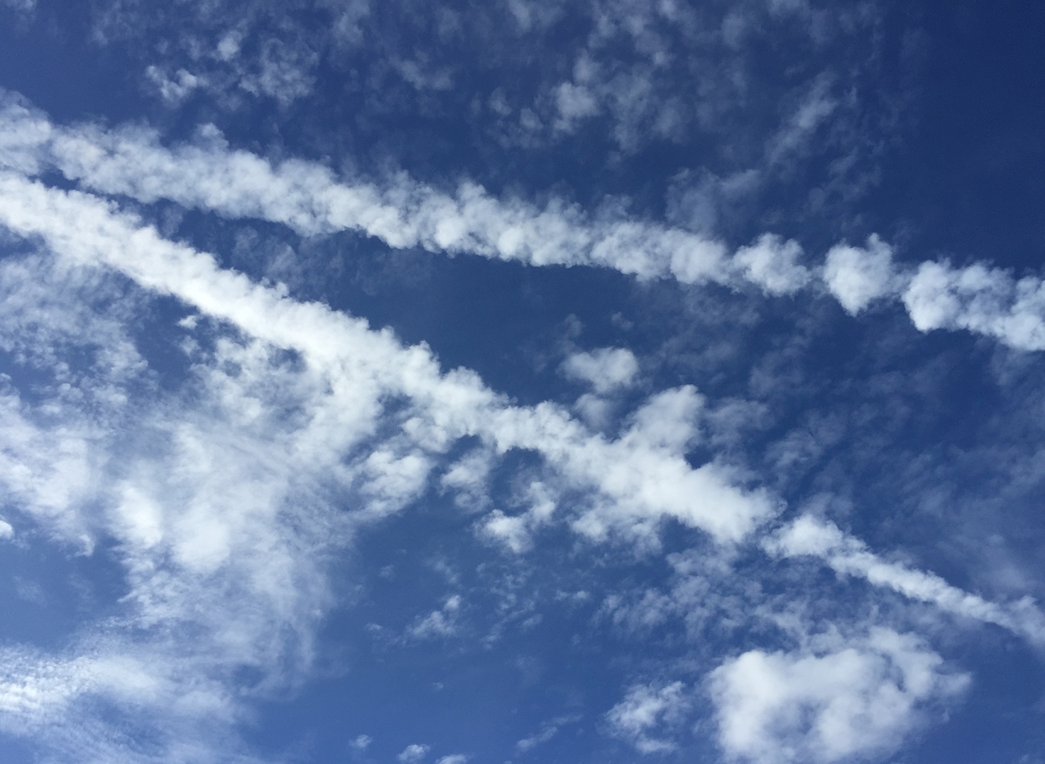
0134:41 UTC
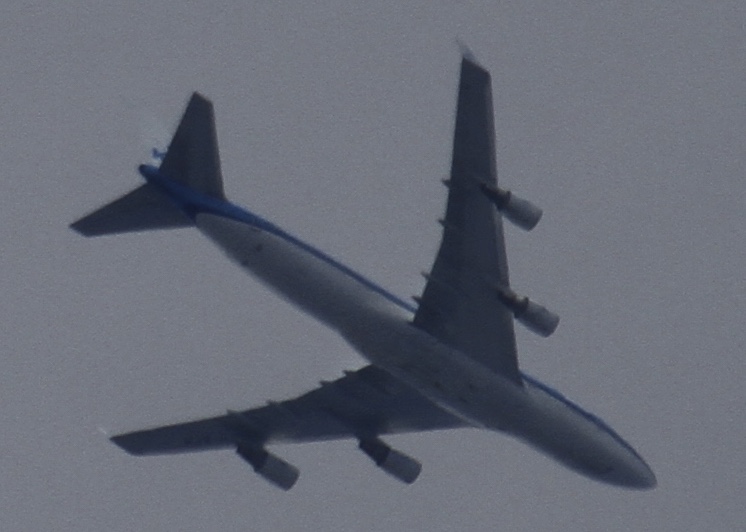
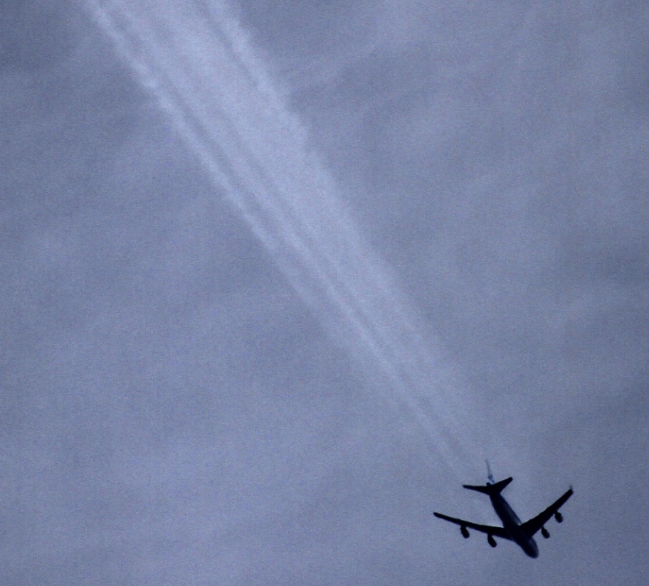
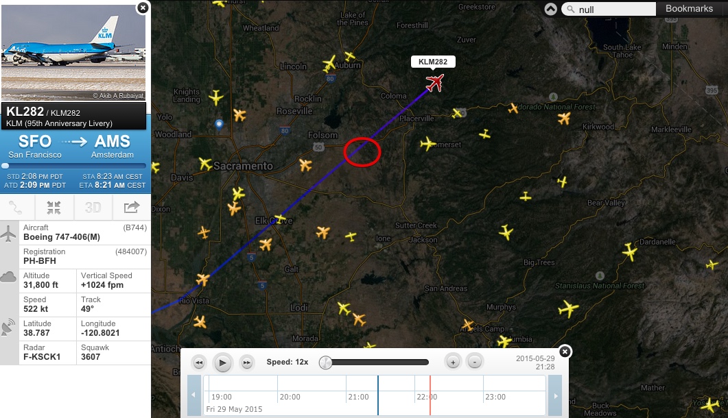
Again, the culprits seemed obvious, again, they were at around 25,000 feet, but very different planes.
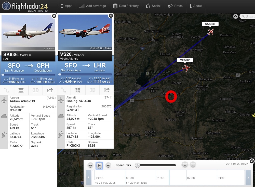
SAS963, an airbus A340, and VIR20V, a 747-400, two very large planes.
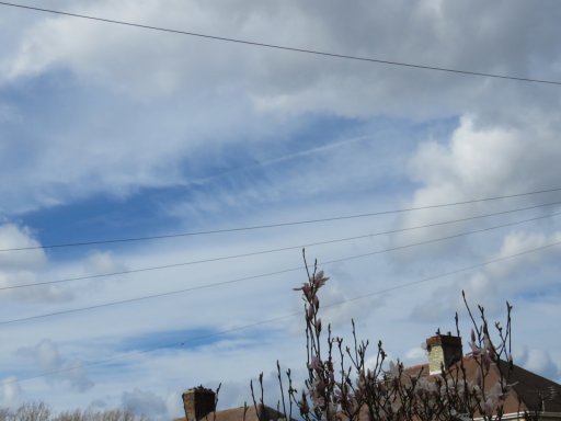
Then it looked like this, what seems to be a Circumzenithal arc, indicating it's made of ice.
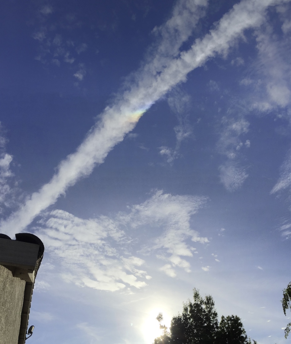
0137:27 UTC
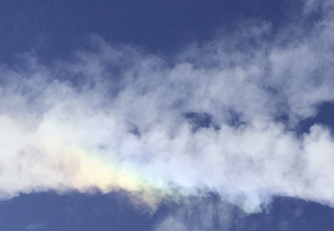
Here's a link to the full sized image of the trails forming:
https://www.metabunk.org/sk/IMG_5595.JPG
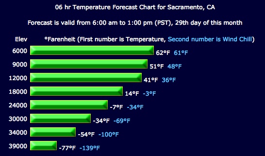
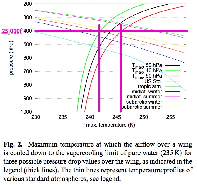
So, what exactly is going on? Persistent cirrocumulus contrails at 25,000 feet?
More photos tomorrow, I just wanted to get a first pass at it up so others can look at it overnight.
This one caught my eye because it had a dramatic looking bend in it.

Taken at 00:42 May 29 2015 (today is the 28th, but in UTC it was the 29th), near Bullard, CA. Looking north.
The bend can be explained by perspective, and has been seen many times before, so I thought I'd look it up as an example. But it turned out a bit more interesting. The only candidate was a turboprop at 25,000 feet:
http://www.flightradar24.com/2015-05-29/00:28/12x/N407QX/660c33b

N407QX, QXE555 PDX to FAT (Portland to Fresno)
Not only that, but it went horizon to horizon. (the curve here is due to the panorama perspective. Both sections were perfectly straight, as in the FR24 track)

It also seems to be far more puffy than normal contrails, very similar to the cumulus-like clouds around it.
About five minutes later the trail had moved, seemingly with the clouds.

This was something else, illustrative of the atmosphere:

Then, later that day, nearby in Cameron Park, Looking NW I saw:

0127:14 UTC, May 29
Which, 7.5 minutes later, became (iPhone photos):

0134:41 UTC
Again, the culprits seemed obvious, again, they were at around 25,000 feet, but very different planes.

SAS963, an airbus A340, and VIR20V, a 747-400, two very large planes.
Then it looked like this, what seems to be a Circumzenithal arc, indicating it's made of ice.

0137:27 UTC

Here's a link to the full sized image of the trails forming:
https://www.metabunk.org/sk/IMG_5595.JPG
So, what exactly is going on? Persistent cirrocumulus contrails at 25,000 feet?
More photos tomorrow, I just wanted to get a first pass at it up so others can look at it overnight.
Attachments
Last edited:

