HappyMonday
Moderator
http://ultramedia.us/chemtrails/index2.html
Aside from the false chem/con claim, this chap has some questions that need answering it seems. Can't find any reference to ultramedia on the forum, but doubt this is more than a reblog.
Seen it before?
Aside from the false chem/con claim, this chap has some questions that need answering it seems. Can't find any reference to ultramedia on the forum, but doubt this is more than a reblog.
Seen it before?
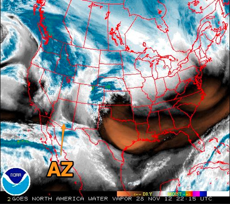
This picture of a chemtrail (top) and a normal contrail (just underneath) was taken in Phoenix in January of 2002. It is not a retouched photograph. The two trails were visible at the same time, and the two planes are at roughly the same altitude. Notice that the "chemtrail" starts directly from the horizontal stabilizer(top inset), and the "contrail" starts approximately 1 wing width behind the airplane (bottom inset).
The EPA relaesed a "factsheet" athttp://www.epa.gov/otaq/regs/nonroad/aviation/contrails.pdf which states that,
"Persistent contrails are mainly composed of water naturally present along the aircraft flight path."
It also states, "Typically, contrails become visible within roughly a wingspan distance behind the aircraft."
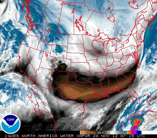
Since even the NOAA and EPA admit that persistent contrails require a relative humidity of 70% or more, how is it that on the day this picture was taken, the maximum humidity at altitude was only 45%?
I get my air mass data from http://weather.uwyo.edu/upperair/sounding.html which launches weather balloons and posts the temperature, wind data, and relative humidity at 5am and 5pm daily over Tucson and Flagstaff in Arizona. Phoenix is halfway in between, and the air at altitude doesn't deviate much statewide at any given time.