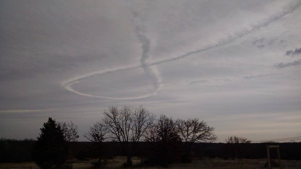
I investigated the Utah contrail a few years ago and concluded that it probably came from a military surveillance or training flight around Wildcat Mountain, housing a military installation / bombing target range. This suggests the possibility of the Oklahoma "awareness ribbon" distrail having resulted from an analogous flight near McAlester AAP in the same general area.
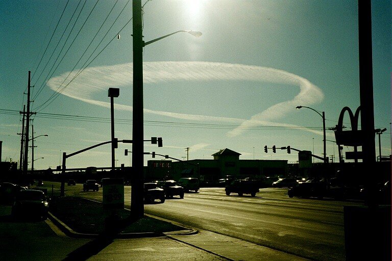
The pictures in the FB page were taken from all sides of the distrail loop. The identification of all different locations would provide a fairly accurate positioning of the loop.
This is probably irrelevant, but there was a "Con Air" plane flying atypical holding pattern in the area at the time, yet at a low altitude.
EDIT
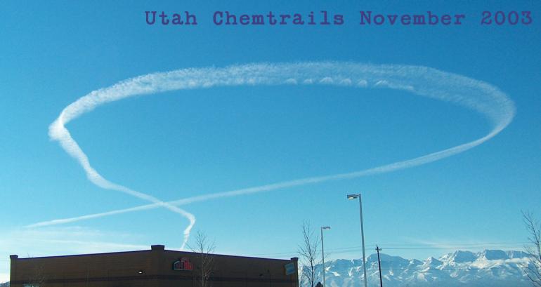
Replaced the picture with the one showing the full flight path. It looks like the plane had to return back to the Oklahoma City airport and made several approaches to its runway before landing. This suggests an emergency that might have closed the runway for other arrivals, unless it was a training flight. If the former was the case, the trail in question could have resulted from a diversion of an incoming plane not on FR24. Note some similarity between the East part of the above flight path and a wide angle picture of the Shawnee "ribbon":