Well the weir is quite capable, as we have seen, of holding back the entire top of the lake. I don't think water rushing past one end is going to add that much additional force. Plus it's notched into the bedrock. Expansion of the notch would seem to be more of an issue. All very unquantified though.
Based on the earlier posted cross section of the ogee weir(post #745), there is a 4' 0" facing of enriched concrete. Given that, it's shape and it's mass , it's recent short testing ,the concrete likely can handle large smooth flows well. The major unknown is what effect a river running down that hillside will have. The first minimum effect will be substantial debris deposition in the channel. Likely , there will be some surprises in channel formation due to non - homogeneous hillside conditions . With what we've seen so far , a broad categorization of the hillside materials might be soil, frangible bedrock, and coherent bedrock . A diamond is extremely hard, yet cleaves nicely along cleavage planes. Weakpoints matter.
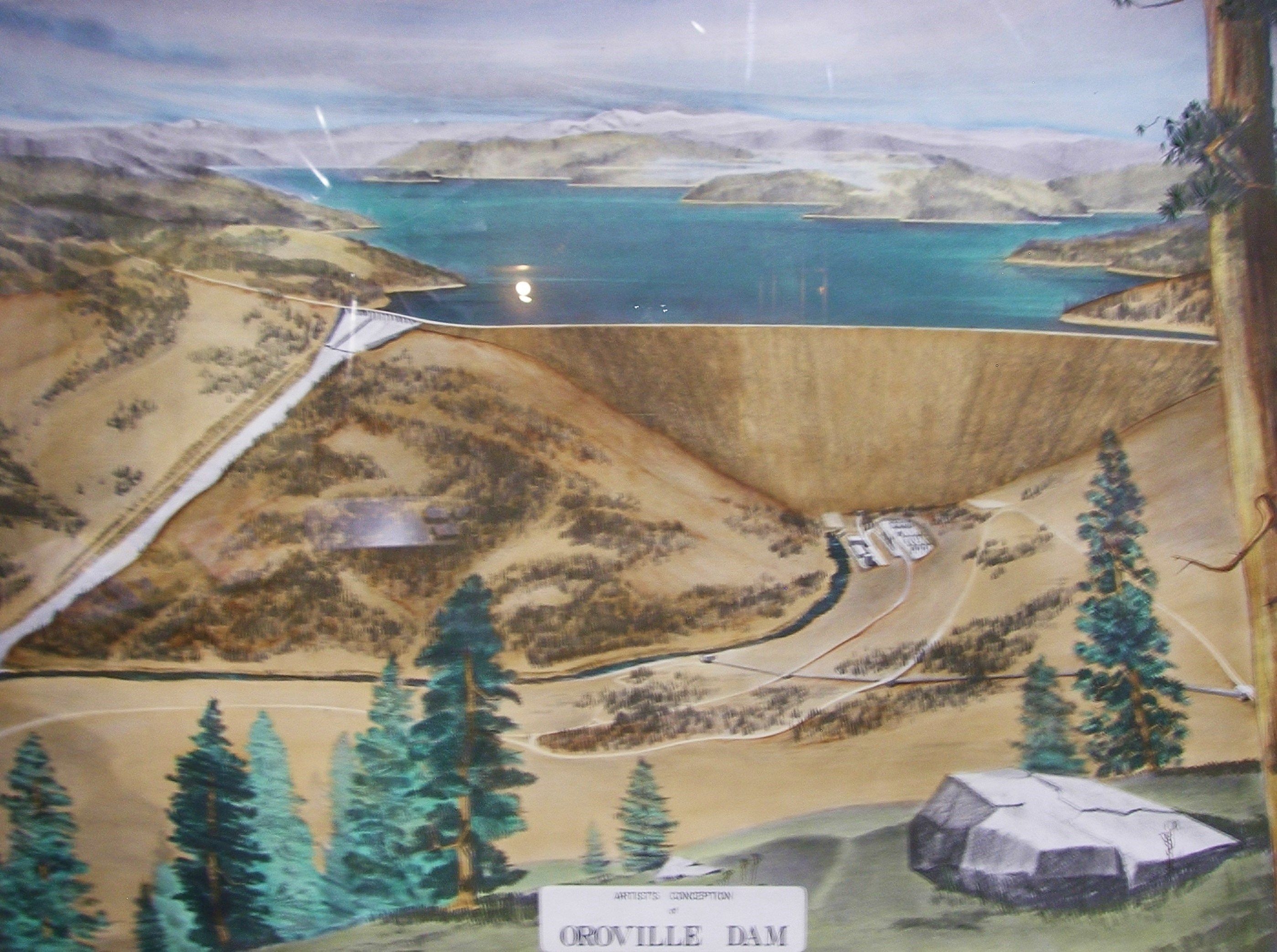
The major unknown and unknowable is the weather within the drainage basin, and if one cares to consider the effect on saturated full drainages down stream, that could also be taken into account. The Lake Oroville watershed is what determines flows Oroville dam and its peripheries (arguably an artificial distinction, as they are necessary components of a functioning dam system) must contain. Current Lake Oroville elevation is 854 +, an optimistic projection was to have reached 850' by Wednesday (midnight Wednesday 872'+) I don't know what the projections for the current influx for the lake elevation are. I do hope they are closer to actual results and especially hope they are not overly optimistic. The concrete spillway is far more degraded than it was two weeks ago.
I mention these points, not to cast blame, nor be alarmist, but to focus attention and clarity of thought on where things are truly at right now and what forces are determining lake elevation. Currently all releases are through the concrete spillway, please correct if the penstock (14,000cfs max) is now operational. Current concrete spillway release is 65,000cfs. I understand there has been additional new erosion on the west bank of the spillway discharge , but have not seen imagery from today which clearly illustrates the extent of this. At minimum , there's additional debris in the river channel adding to the workload of clearing that channel.
I believe some amount of water is currently held as snow in the drainage basin ( an earlier quote described this as 31", I read that to be the water content equivalent of 31" of rain, which seems high as the moisture content of snow, even were it to exist across the entire basin should be lower than rain which is 100% moisture content as judged by rain gauges, please explain) Still some amount is upstream and has not melted. 1862 warm weather did suddenly melt snow early in the season, so there is known historic precedent for this phenomena.
This year has been strange, long, and wet (150-180% of "normal" snowpack are the published numbers I read in the Los Angeles Times when they describe ongoing Sierra snow surveys). Northern California is well saturated, dams are full, river flows are high and the current NOAA forecasts for Chico posit rains, heavy at times into Tuesday with snow elevations at 6,000-6,5000. another unusual feature of some storms this year has been rain at high elevations (9,000'+ at Mammoth, in January!) I have not seen longer range forecasts for March, but am certain days will be longer, and it's likely to be still warmer overall than February . Under "normal" conditions, and with a slow even, gradual spring melt it would be a challenge to manage the spring flows. A potential complication this year is that, warm, wet storms, can transform a slow even melt into a more episodic pulse driven event. The high water capacity of the current snowload can quickly mobilize as an addition to a warm storm's rain quantity. The drainages don't distinguish between melt and rain . Water is water, flow is flow . If such were to be the case it seems , that as large a reservoir capacity as possible might provide a buffer to pulses.
This seems especially important in light of the amount of damage we've seen in the primary regulatory system of Lake Oroville. Acknowledging the real possibility of such pulses, without debating the odds of occurrence , it seems this is a more than a low risk, with very high consequence environment we are in. Weather dependent. Current downstream flow regulation is based on the concrete spillway. If that control were to be put on hold or sidelined, it does seem to be what's left is the penstock (14,000cfs - inadequate) and the emergency spillway (no flow control)....i.e. were the reservoir to fill all (or all -14,000cfs in the best case) flow into Lake Oroville would merely exit over the emergency spillway at about the rate the inflows come in with no flow regulation and no buffer for high pulses.