Z
Zane O'Neill
Guest
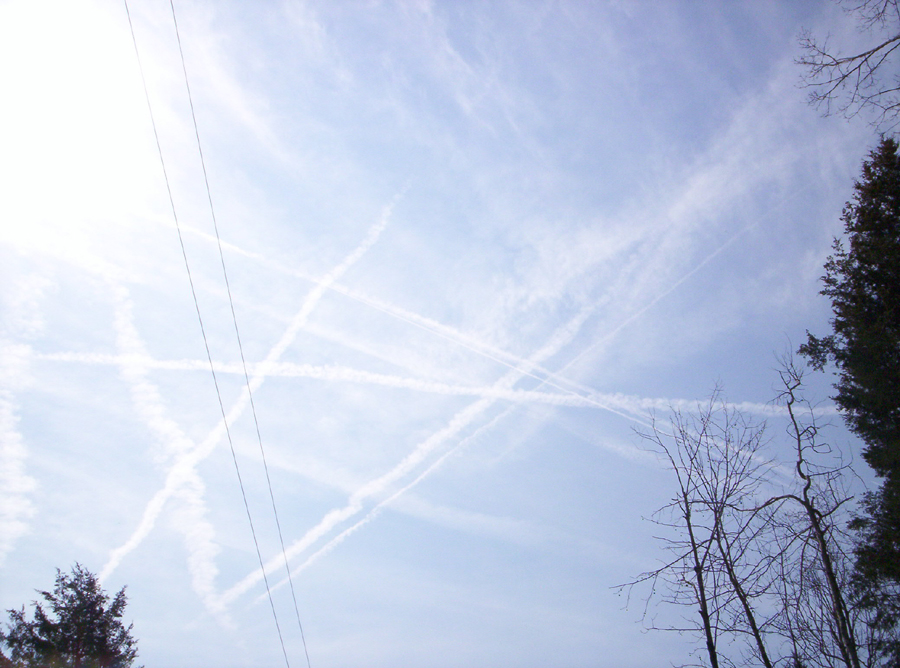
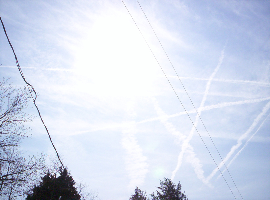
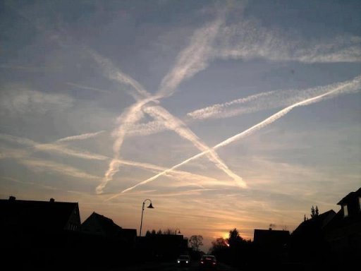
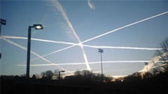
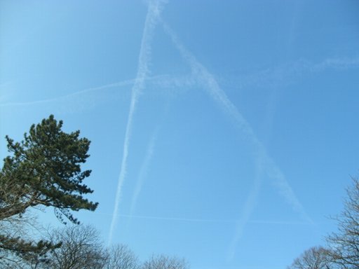
There is a clear Pentagram type shape made by the contrails at this link, seems a coincidence that the flight paths make a beautiful looking symbol like that.
Oh and you do not need to be a rocket scientist to tell that those contrails are well less than 28,000 feet, which I understood is the minimum level contrails can be made. I dont if thats right, all you bunkee's, bunkers what ever you call yourselves, you are the paid experts, so please enlighten me.
http://www.evilyoshida.com/Thread-Illuminati-blatently-flaunting-occult-symbols-in-chemtrails
Last edited by a moderator:


 If you sincerely believe you stumbled onto "a thing,"
  you might wanna try and find a job.
")