
Teertskcab
New Member
Can someone please explain the apparent lack of obvious visible cloud formation movement in the DSCOVR Sat video where the moon passes in front of the Earth? I think I understand why it may be difficult because of the distances we're talking about, but I'm lost as to how I should answer to this objection made by a flat Earth believer. My understanding is that the video consists of around 15 images taken over a period of 4-5 hours. I can understand why someone might expect to see more cloud movement.
Last edited by a moderator:
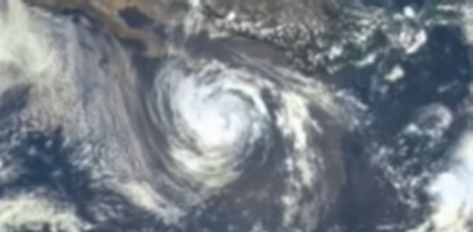
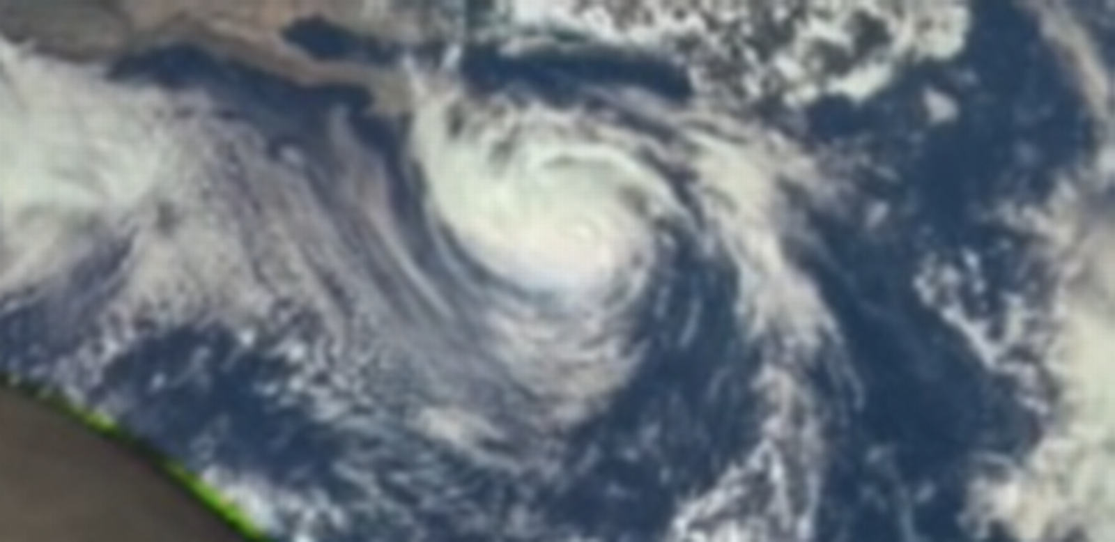

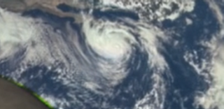
") and it's beautiful:
and it's beautiful: