Hi All,
Happy new year, happy 2024. I am new to this forum, and to be frank I had been completely oblivious to...
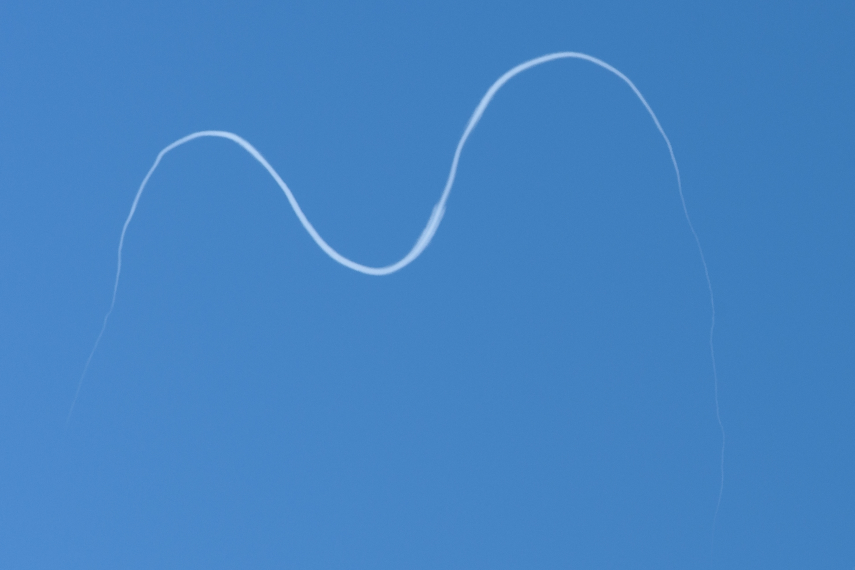
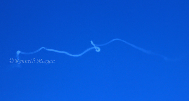
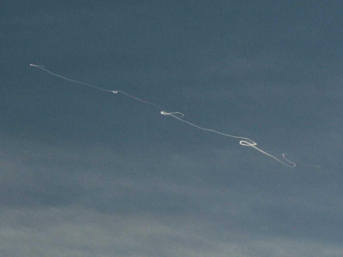
looks at thread name... sinusoidal thin contrails being an actual thing until three days ago when I witnessed it. After some googling, I was relieved to learn it is not something sinister, and I'm close to certain my fellow travellers (it happened on a bus ride) were equally confused/concerned about it.
So here it is.
Location: I gaze a lot at the sky. The topic of vapour trail visibility has long intrigued me, but I have never been able to fully understand the furthest distance a human would be able to see a vapour trail, so I may be a bit vague/off here with my description and below depiction. At any rate, what I can certainly tell is that the photo I am attaching to this post (cut out of a video my wife made with an iPhone 11) is from main road 74, riding a long distance bus in Hungary. I know, handful of nothing, so to make it easier:
the phenomenon was certainly visible between Győrvár and Vasvár, you should look at the middle section of the AT/HU border. We were heading N/NW, and this window is on the left, so, as evidenced by the Sun, this is something of a W/NW direction, I guess.
Other info: clear skies, no major meteorological events, pleasant 10°C, on the ground, that is.
Date was 2023/12/30 ~15:00-15:30 CET (UTC+1). I'm not that good with reconciling what I see in reality with what I see on Flightradar, so don't have flight candidates, sorry.
A final remark. While I don't have evidence to back it up, the majority of contrails (during that time window) were really...odd, following a slightly squiggly, sine function-like pattern, but none of them were outrageous, maybe mildly interesting at most. This, however, was the undisputed the cherry on the top. The pictures don't do justice, we were late with the video....