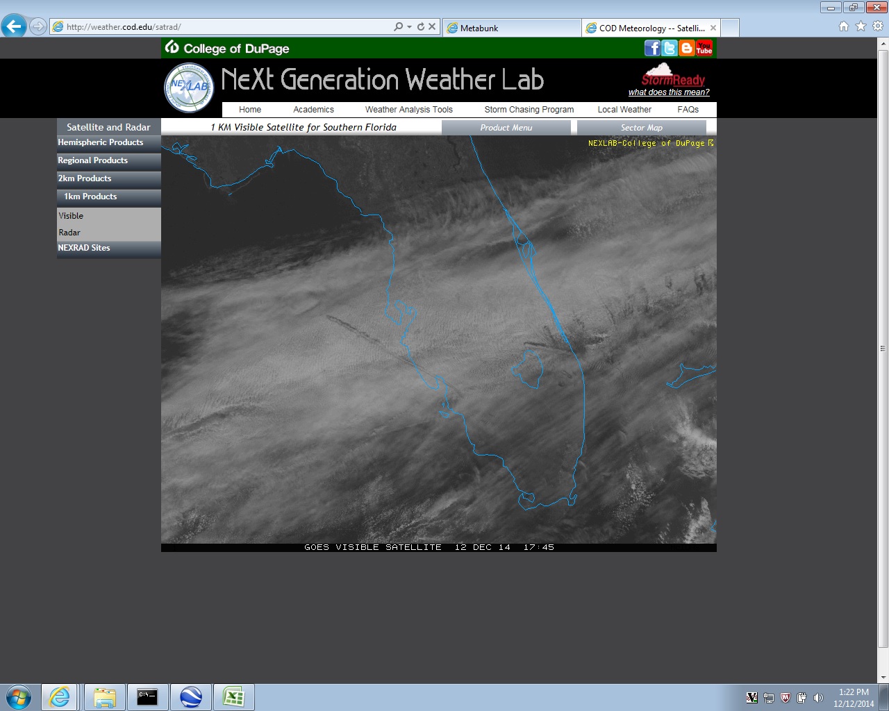
Satellite View of Central Florida Fallstreaks 12-12-2014

scombrid

Senior Member.
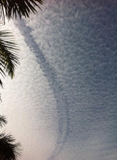
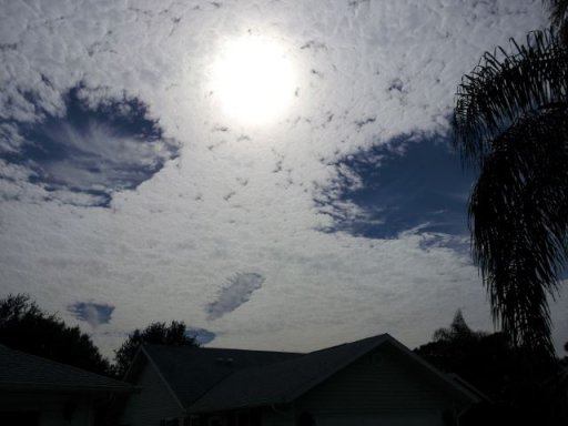
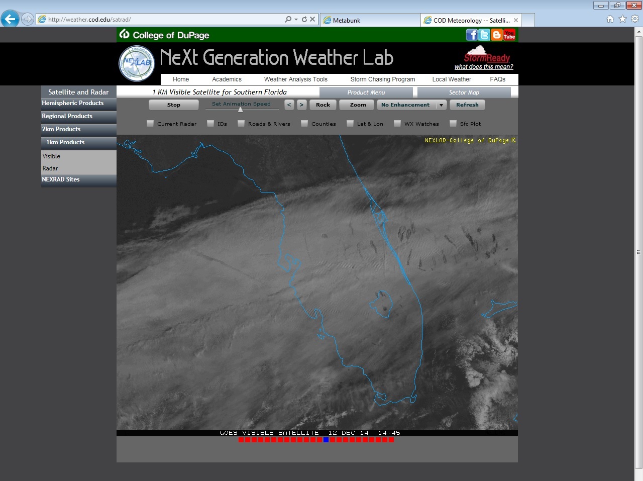
We have extensive clouds at the 20-25k foot level streaming across central FL today. Flights from south Florida are putting impressive holes in those clouds as they climb through to cruise altitude. Here are a screen grab from 0945 and 1245 EST. The loop is impressive showing how quickly that layer of clouds is flowing out of the west. I wish I had gotten photographs of the streaks from the ground in Brevard Co this morning before the streaky layer shifted further south. That really long streak west of Tampa Bay in the 1245 shot should be well matured as it drifts over Brevard in a couple of hourse. Maybe I'll go out and grab a shot of it.
fallstreak2.jpg fallstreaks.jpg
 
Looks like some nice ripples in the cloud too. No doubt that will be exciting a few "HAARP" proponents...
 
Yeah, we have stable cool air below 20k feet and that "river" of air flowing over it has some standing waves in it.

That big fallstreak I wanted to photograph sheered out before it got here. It was only recognizable because it was a diffuse patch of virga that had a sun dog and a circumzenth arc round about 1500 EST. The altostratus clouds are water clouds and don't refract light like that. The ice that forms the virga of a fallstreak might. Although I'm not sure if the circumzenith arc is in the virga or showing through the virga from cirrostratus above. I'll be damned if I can get my camera-phone to pick up the circumzenith arc though :( .
 
Back
Top