
Scott Gates
Active Member
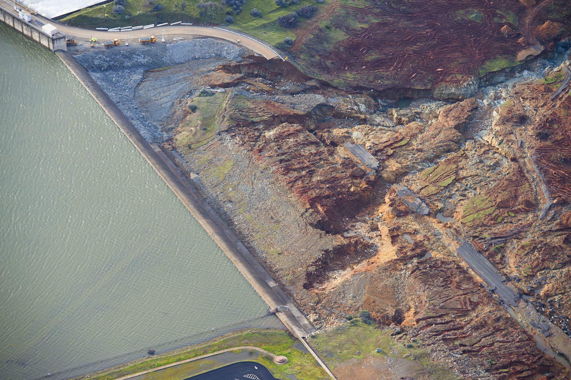
Note there's a few "holes" - (deep erosion pockets near the weir at the wop of the emergency spillway). The one above is where the road was cut through. Here's it forming. I'm pretty sure this is what is meant by a "boil" here - i.e. the whitewater usage:
View attachment 24549
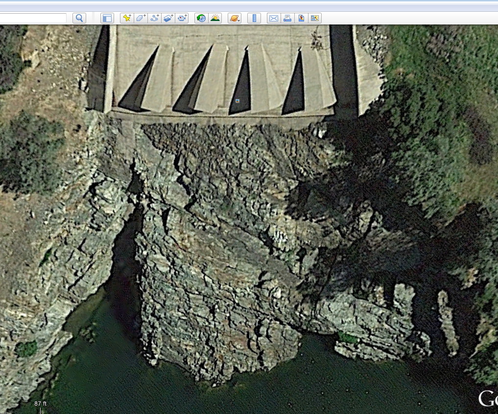
This one:
is a different hole, not as deep, but much closer to the dam. Again, it just looks like erosion, and not any kind of upwelling.
Correct - different cut - at parking lot end of weir ... I am pretty certain that is the area that prompted the evac order ... the hardening next to the main spillway is largely intact and the "cut" there was almost entirely just the roadway washing away.
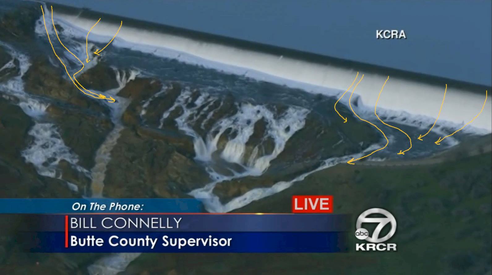
Here is one of your earlier pics marked to show the flow - how lateral flow was created and then concentrated with the downhill flow to increase the cutting force.
Keep in mid this pic reflects something less than 8,000 cfs flow over the emergency weir ... the force is not large - but it is steady. I suspect as long as the bags stay intact the force even at 12,000 cfs or somewhat higher probably would not be able to dislodge the weight of those bags of rock.

") IMO, it's sole purpose is to save the main dam from being overtopped (and quickly washed away!) by any conceivable flood produced by storms, rapid snowmelt, etc.
IMO, it's sole purpose is to save the main dam from being overtopped (and quickly washed away!) by any conceivable flood produced by storms, rapid snowmelt, etc.