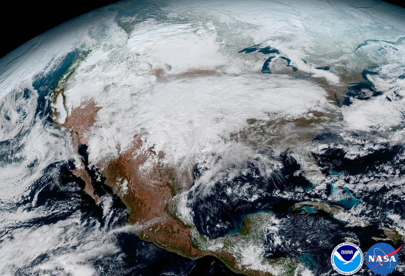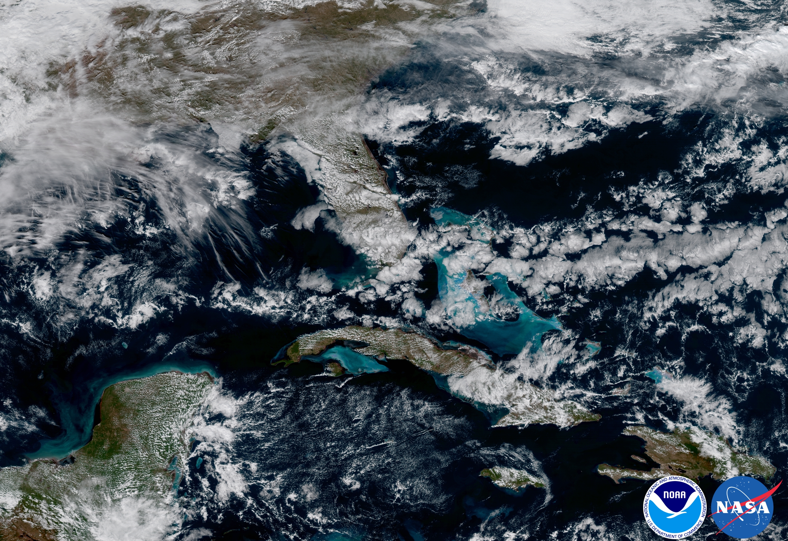
https://www.nesdis.noaa.gov/content/goes-16-image-gallery
GOES-16 is a new geostationary satellite with a high resolution camera. This is an interesting development for contrail spotters as it can potentially supply sequences of images that are similar in quality of MODIS Terra/Aqua with only minutes between the images, showing how contrails persist and spread.

It's similar to the Japanese Himawari-8 satellite which is parked over the equator south of Japan and produces images every ten minutes.
http://himawari8.nict.go.jp/
