Balance
Senior Member
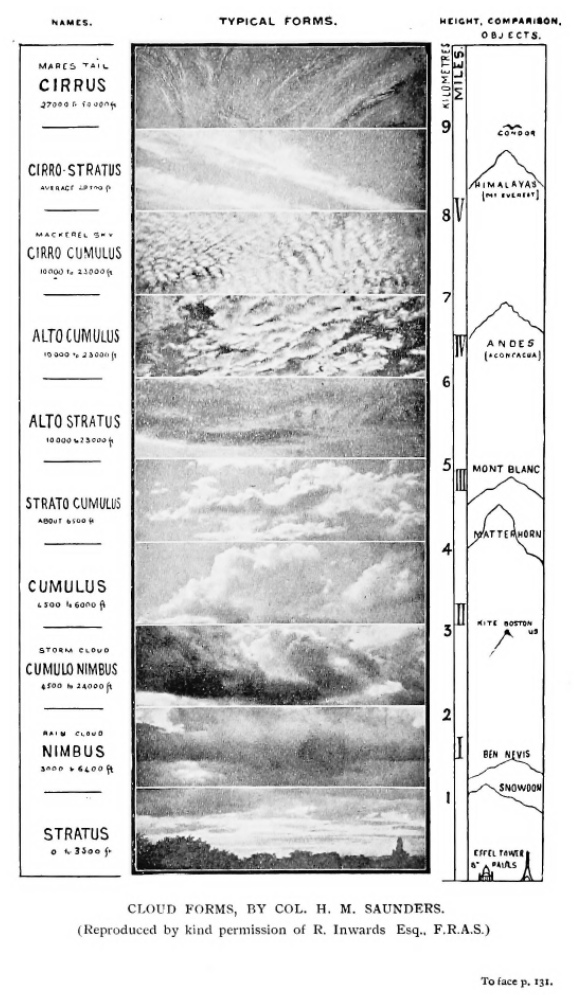
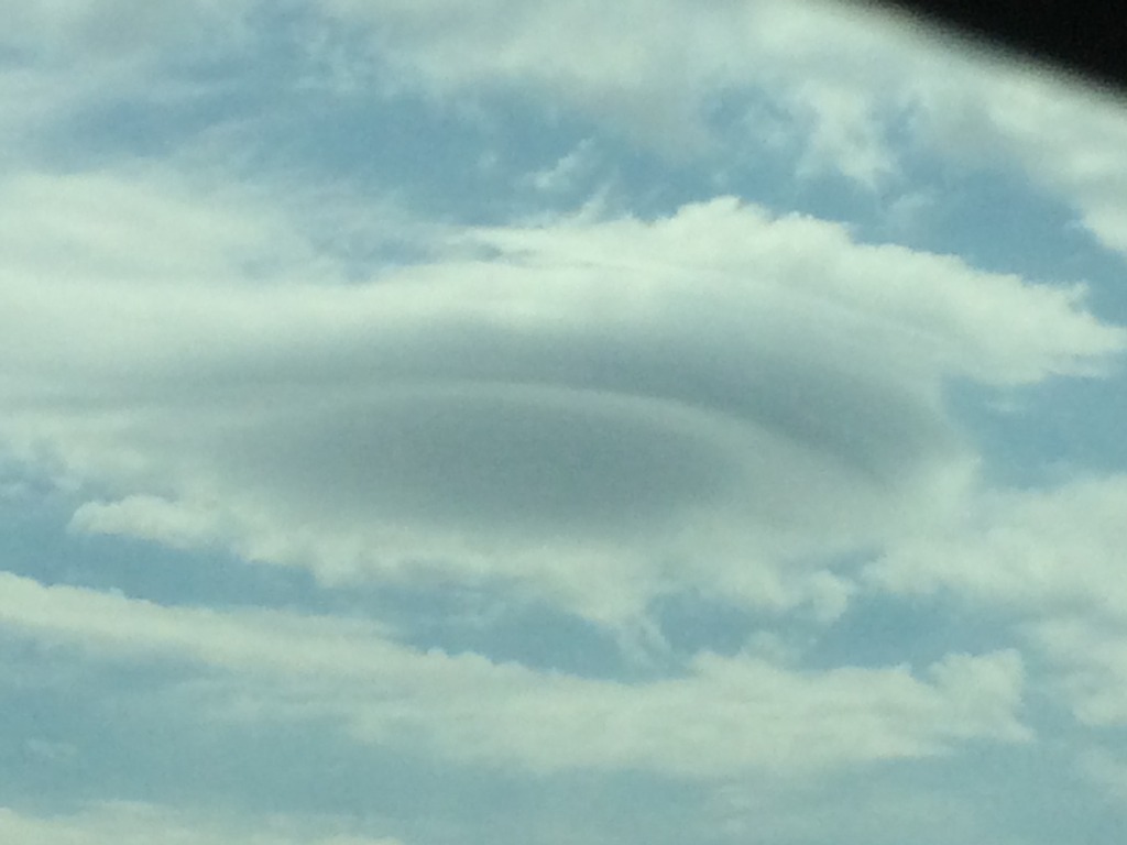
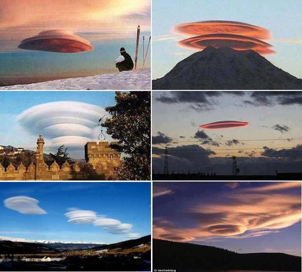
Sorry for my ignorance but I was recently driven to look up how many cloud types there are. This was invoked by a post (I believe from Max Bliss FB but can no longer find it) that was claiming NASA are "normalising" us to accept chemtrails by adding/classifying new cloud types.
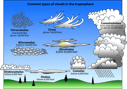
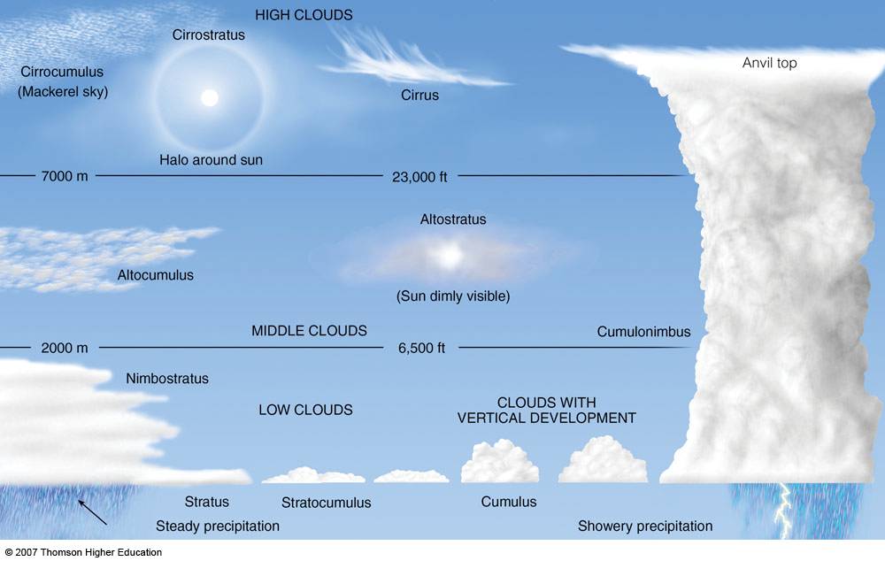
The poster (who I believe was Max) stated they were taught in school there were nine cloud types. Due to my ignorance (either they didn't teach me in school or I was daydreaming when they did) I stopped reading and googled cloud types to find there are ten listed, divided by three region layers. http://www.metoffice.gov.uk/learning/clouds/cloud-names-classifications
So my first questions is: Has there been one cloud type addition since Max's schooldays?


")