steve holmes
Member
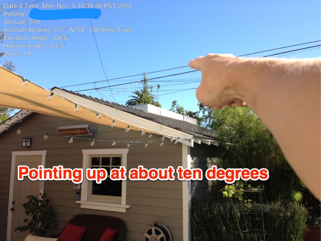
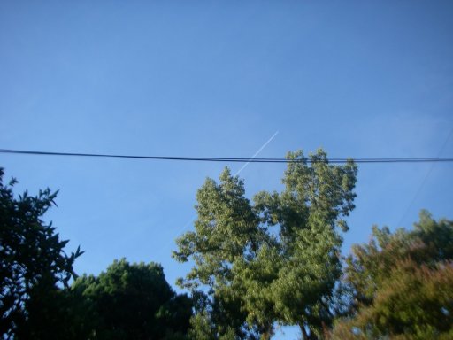
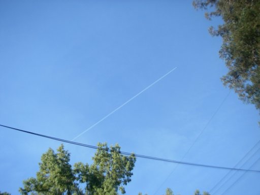
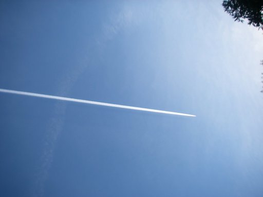
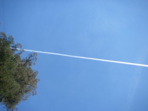
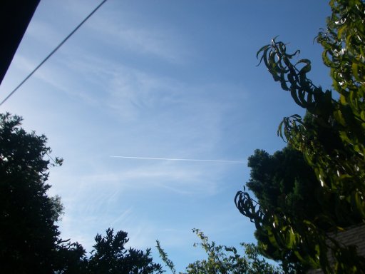
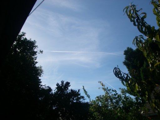
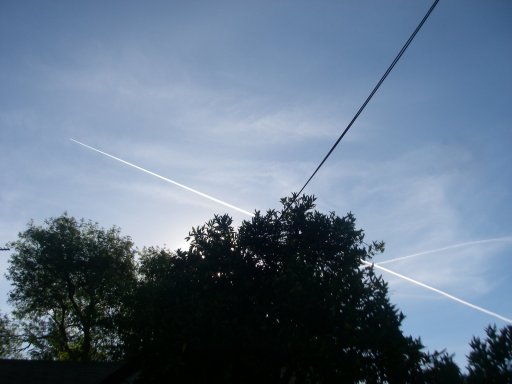
Here are a slew of photos from this morning. I was working in the back yard and these 5 flights went almost directly over my house. Usually when I see such flights, they are headed NNW as some of these are and I can never find them on FR24. Of the 5 flights (which I am posting pictures of and also screenshots from FR24 at the time of each flight) there is never a match of a trail to a FR24 flight.
Yes, there were cirrus clouds above, which make trails last longer. But if you were making chemtrails, what better time to lay them out than a day where there are cirrus clouds and all trails last longer?
The cirrus clouds blew away and no trails of any type in the 90 minutes since that last one.


Yes, there were cirrus clouds above, which make trails last longer. But if you were making chemtrails, what better time to lay them out than a day where there are cirrus clouds and all trails last longer?
The cirrus clouds blew away and no trails of any type in the 90 minutes since that last one.
Attachments
-
 16-10-07 trail-2 0856 heading NNW over home (1).JPG237.3 KB · Views: 688
 -
 16-10-07 trail-2 0856 heading NNW over home (2).JPG177.8 KB · Views: 868
 -
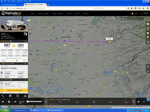 16-10-07 trail-3 0910 UAL6 not W flight over home, flew over too early.jpg1,023.5 KB · Views: 567
 -
 16-10-07 trail-3 0911 heading W over home (1).JPG111.5 KB · Views: 832
 -
 16-10-07 trail-3 0911 heading W over home (2).JPG141.3 KB · Views: 689
 -
 16-10-07 trail-4 0933 heading W over home.JPG213.9 KB · Views: 720
 -
 16-10-07 trail-4&5 0935 heading W&NNW over home.JPG203.8 KB · Views: 681
 -
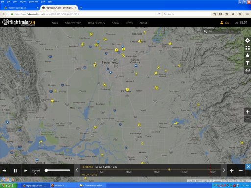 16-10-07 trail-4&5 0935 no flights heading W or NNW to match trails seen.jpg1 MB · Views: 524
 -
 16-10-07 trail-5 0938 heading NNW over home.JPG202.1 KB · Views: 833
 -
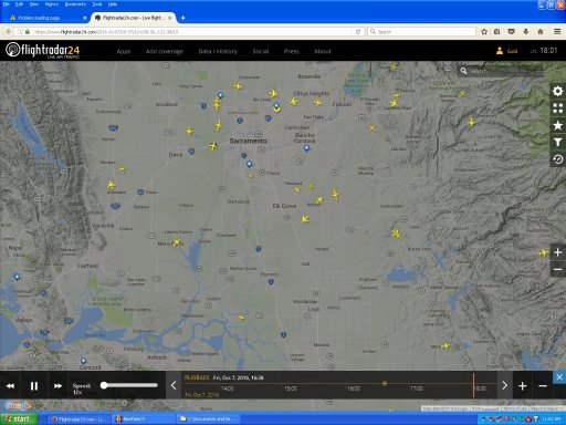 16-10-07 trail-5 0938 no flight heading NNW to match trail seen.jpg1 MB · Views: 557