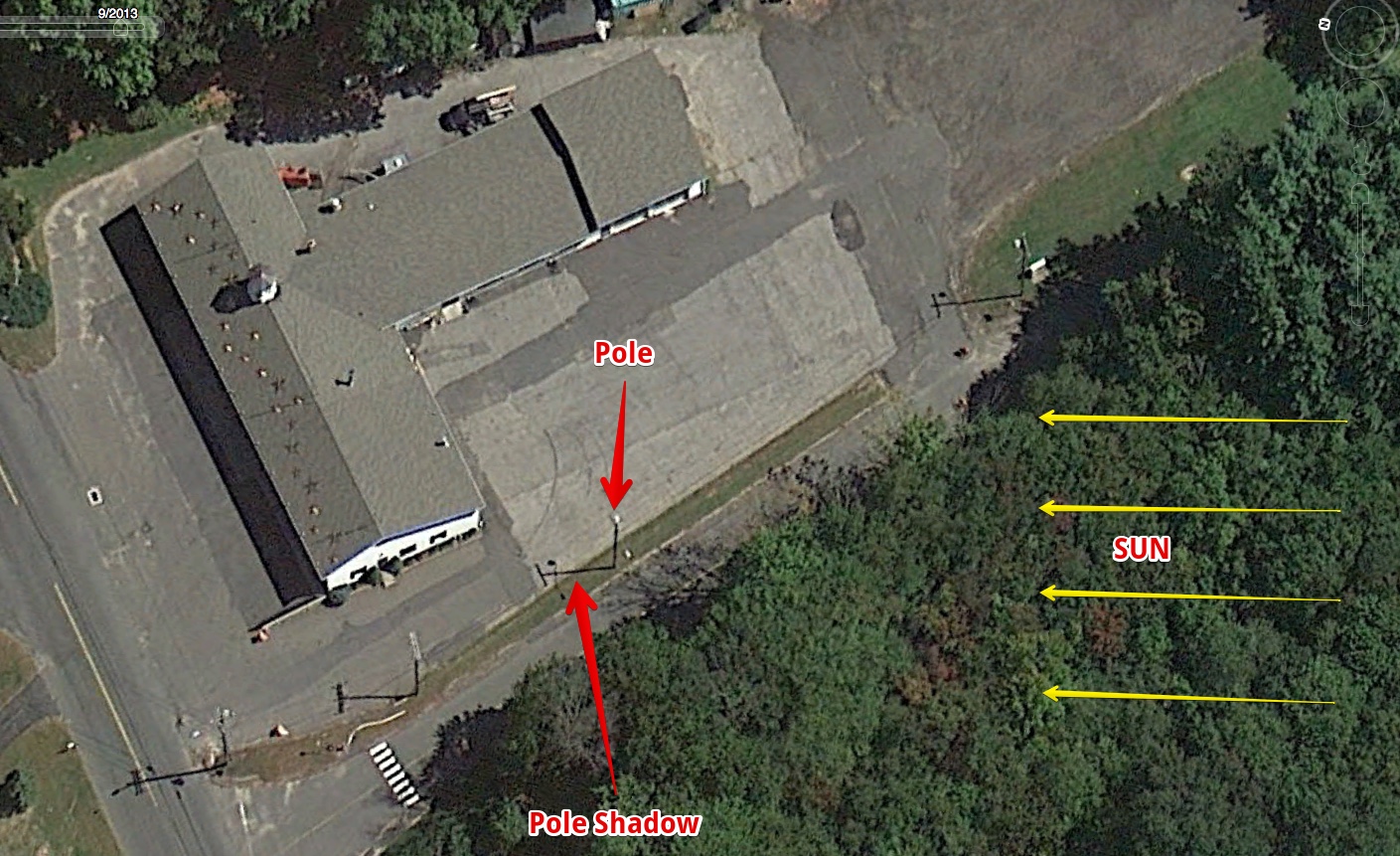
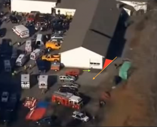
Also, I'm confused by the shadows cast by the trees; specifically the shadows from the trees on the left side of the photo are cast to the right (the same as the the shadows from the light poles) while the trees on the right side of the photo cast shadows to the left, but the building casts no shadows at all, in any direction (except for the thin shadow cast backward on the roof from roughly the 5:00 o'clock to 11:00 o'clock position).
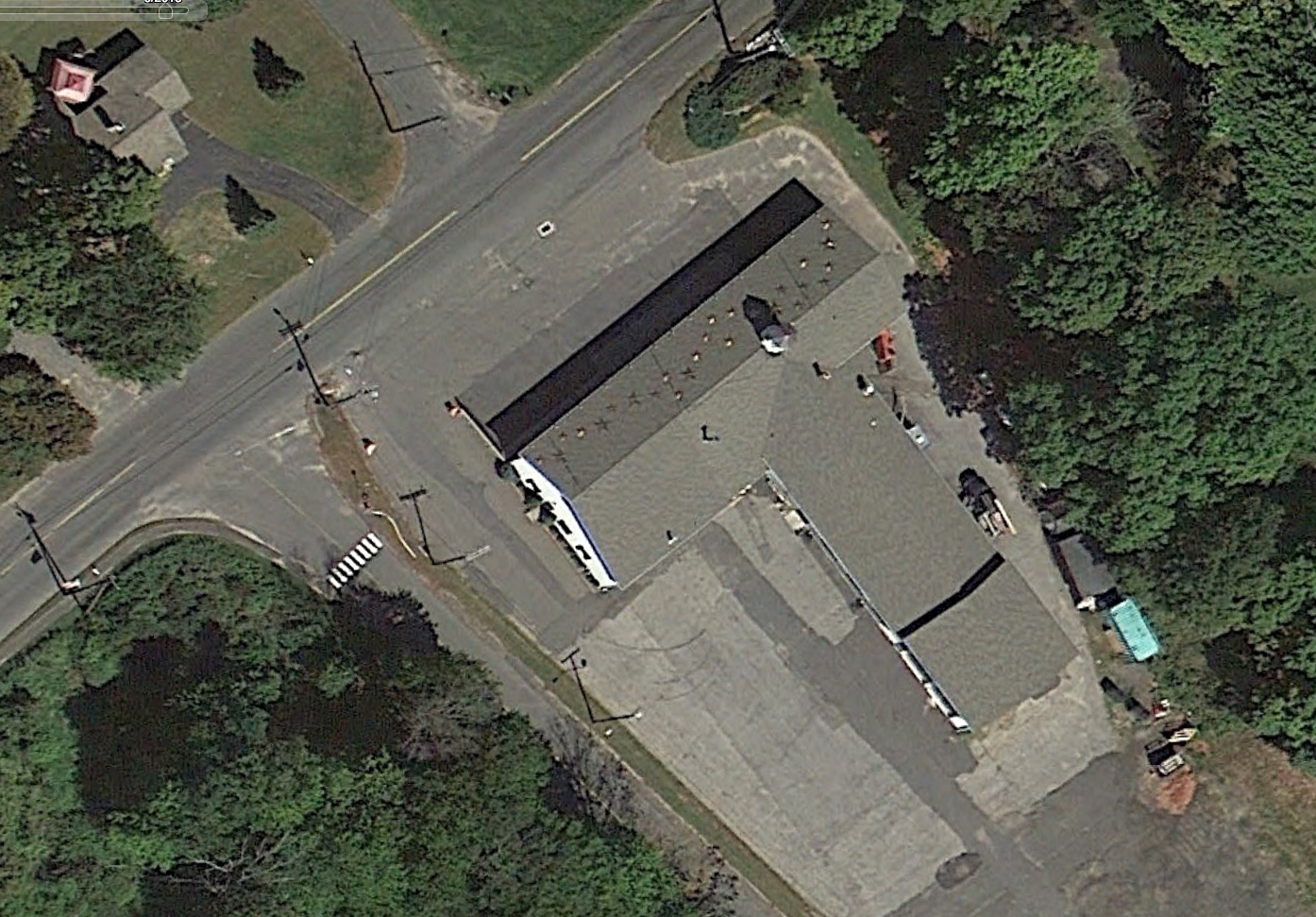
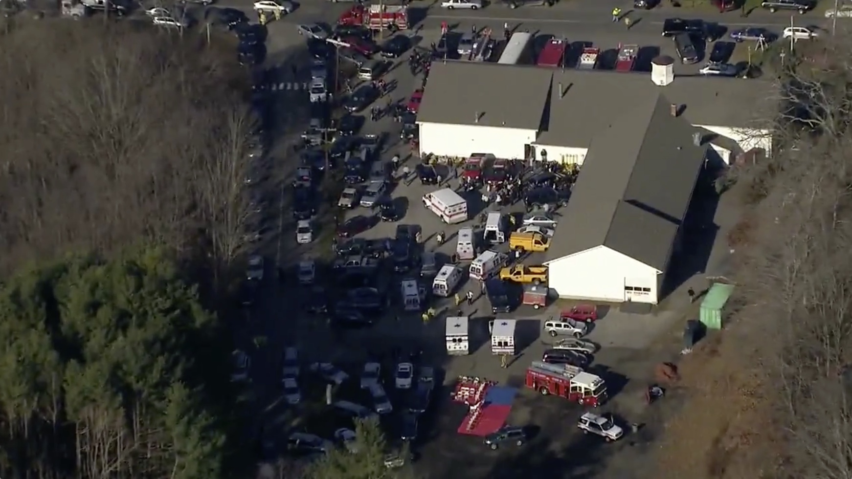
The photo you are looking at is a Google Earth image from 9/20/2013. If you zoom out on that image it becomes a bit clearer.
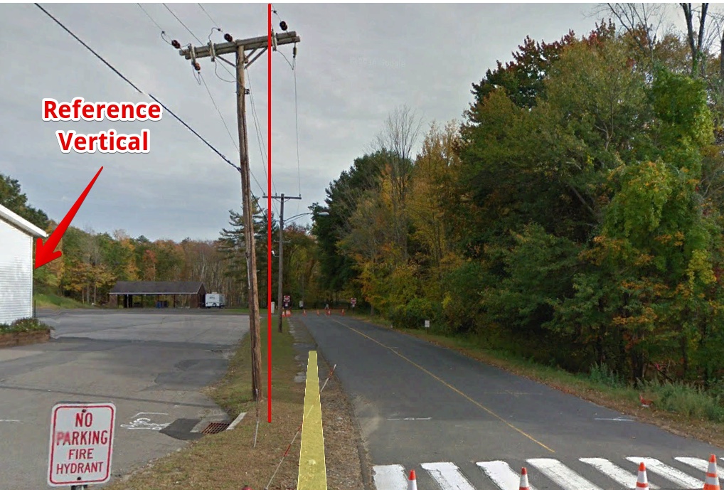
The base image is not taken from directly overhead, so the pole shadows are a little confusing. What you interpreted as a shadow is actually the pole itself. It's sometimes useful ( understanding Google Earth images) to rotate the image to match the view direction. To do this, rotate until the corner edges of the building are vertical on screen (which also makes the poles vertical).
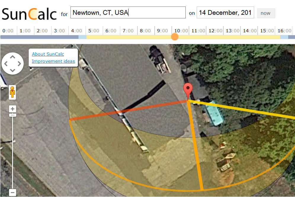
EDIT: The above might still be confusing, as it's indicating the direction of the sun when viewed from overhead. It matches the direction of shadows on flat ground left by vertically aligned objects, but is not the full 3D direction of the sun. It is, however the direction you need for SunCalc.
Trees are a poor choice for calculating shadows because the part of the tree that is at the top of the shadow is rarely directly above the base of the tree, and the base of the tree is often obscured, and many type of tree do not have vertical trunks.
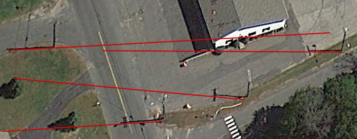
Utility poles are better, but they can lean a bit, and corners of buildings are generally perfectly vertical, however it's only accurate on flat ground, and you've got to be careful to make sure you are not using a sloping roof.
Notice here how the pole shadows vary, partly due to the slope of the ground.
But also due to the fact the poles, unlike building corners, are frequently not perfectly vertical.