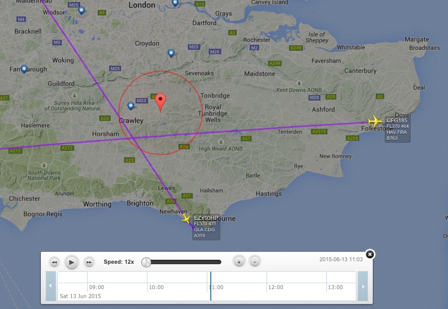
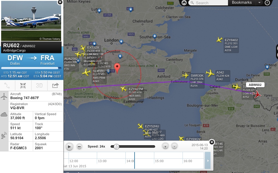
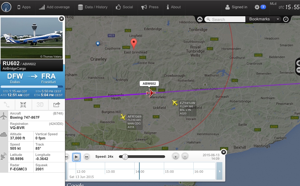
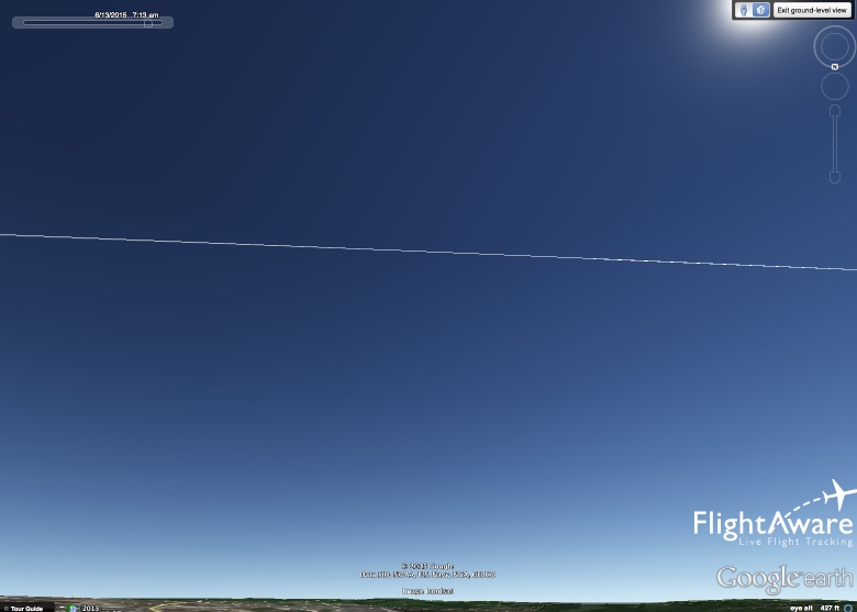
On Saturday 13th June at about midday, I took this picture of an odd looking contrail overhead my garden just to the west of East Grinstead, Sussex. This picture was taken with my phone, but by the time I went back in quickly to get my proper camera, the trail had all but faded. This gave me the impression that it had happened very recently. I checked FR24 and could see no aircraft nearby that followed this odd route.

I am aware that Gatwick is fairly close to my location, and I am also aware of the usual holding areas. However this trail would indicate that the trail was created at quite high altitude, well above normal holding areas. It also is quite clear that the pattern does not match the course for a normal holding pattern. If it did I'd be quite alarmed if I were a passenger on that plane!
I did a bit of research, and one suggestion stated that "S-shaped" contrails could be vortex from large aircraft wing tips. Could that be the case here?
Last edited by a moderator: