Radar Anomaly, October 9, 2015

Jparmele89

New Member
I caught this on radar last night at 11:10 p.m. over the Florida pan handle. Five minutes later it was gone. Does anyone what this is? Or what it's caused by?

Screenshot_2015-10-09-23-15-22-1.png
 
Last edited by a moderator:
I spent many years working on and with the systems that process WSR-88D data. If it was gone in about 5 minutes, then that's the time an NWS doppler weather radar takes to do a full volume scan (actually 6 min). Given the symmetrical, concentric nature of the returns and that it was only in a single scan, it could just be a processing error. Ground clutter or transient interference will do this as well. The thing to keep in mind is that weather has persistence. It generally does not pop up and go away (especially for something with as large a radar return as this 'anomaly') with 5 or 6 minutes. That's a good indicator that it didn't really exist.
 
The minimally filtered College of DuPage radar image indicates biological returns which at this time of year would most likely be migrating birds. I think the transient banding is just how that particular filter in the OP image handles biological targets.

Both the Hydrometeor Classification and the lowish value of the Correlation Coefficient indicate biological returns (BI).

Screenshot from 2015-10-10 11:42:56.png


Screenshot from 2015-10-10 11:52:31.png


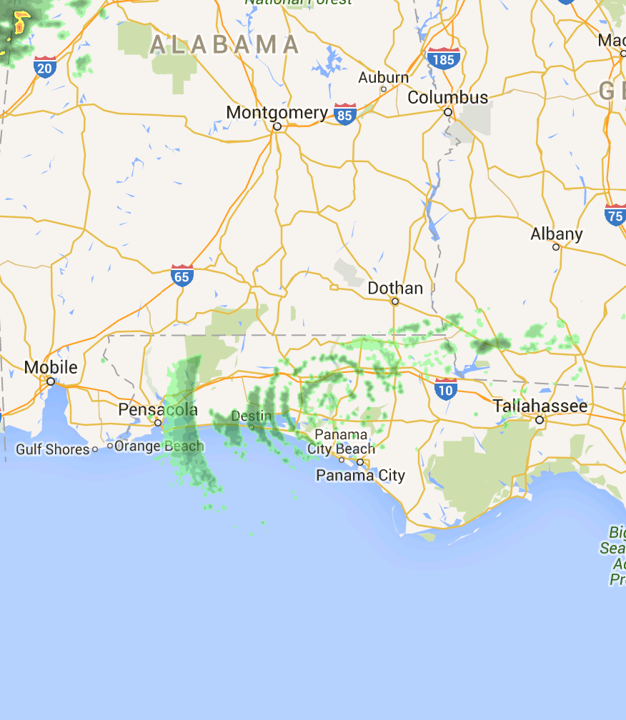
Here's the Birdcast migration forecast:


Gulf Coast and Southeast
Moderare to heavy weekend flights gradually decrease in intensity and extent through Monday, as the favorable weekend conditions give way to more southerly flow. However, Monday and Tuesday see the movement of a frontal boundary through the region, which will bring patterns similar to those occurring to the north of moderate to locally very heavy movements across the region. As the week continues, these flights will continue where favorable conditions persist but will become increasingly localized tower the end of the period.
Content from External Source
http://birdcast.info/forecast/regional-migration-forecast-9-16-october-2015/
 
Last edited:
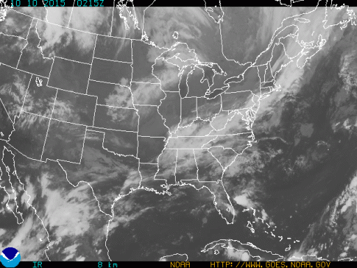
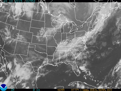
Here's the GOES IR imagery from that time. If you zoom into the area, you'll see low clouds. The second image (about 30 minutes after the OP report) does have a faint oval shaped cloud shape (especially to the east of the site), but that could just be coincidence. From my experience, this is either biologicals or a transient atmospheric reflectivity event, either of which would be interpreted by the software as the concentric ring returns.
 

Attachments

  • ECIR152830215.GIF
    ECIR152830215.GIF
    182.2 KB · Views: 457
  • ECIR152830245.GIF
    ECIR152830245.GIF
    180 KB · Views: 443
This type of artifact is caused by a layer of air with raindrops which don't reach the ground (i.e. virga).
The radar scans the atmosphere at discrete angles like this:
upload_2015-10-11_15-9-17.png
So the area above the radar will appear as concentric rings.
 
What's known as bright banding occurs at the freezing layer where snow starts to melt. The liquid outer layer of melting snow produces much stronger returns than snow or rain alone because it appears to be very large rain drops. I don't normally see concentric rings with virga but under the right circumstances I suppose it could happen. Virga is usually identified by comparing different elevation scans. However I don't see a layer of nimbostratus on the satellite IR images and radar shows just a few isolated rain cells.

A major advantage of the new dual-pol products is the ability to compare the vertical and horizontal polarized returns which identifies the nature of the targets. The data from more than one dual-pol product indicates biological returns that were persistent throughout the night, the rings don't show up on less filtered data, there is no obvious stratus layer on satellite, and migration season is in full swing. I'm convinced the returns were from birds and the rings the result of filtering strong non-precip targets.
 
I caught these two on 10/16/15.
 

Attachments

  • trim.AEB85D60-BF60-45C1-B655-8B2CED70E2D9.MOV
    8.9 MB · Views: 931
Back
Top