drhex
New Member
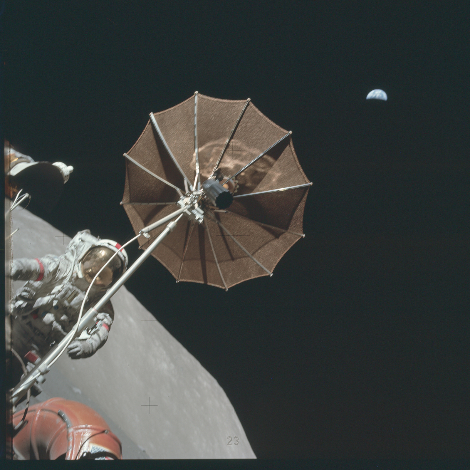
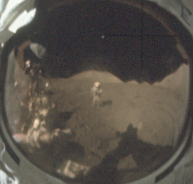
This photo http://www.nasa.gov/sites/default/files/thumbnails/image/as17-134-20387.jpg which shows an astronaut on the moon with the Earth visible in the sky, has come up in a facebook discussion:

The claim is that Earth appears too low in the sky for image to be real.
What I've found out so far: The link is to a Nasa website and so should not be altered by anyone else.
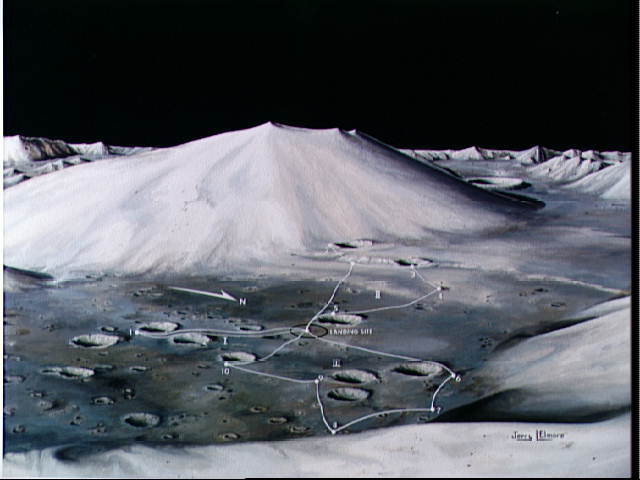
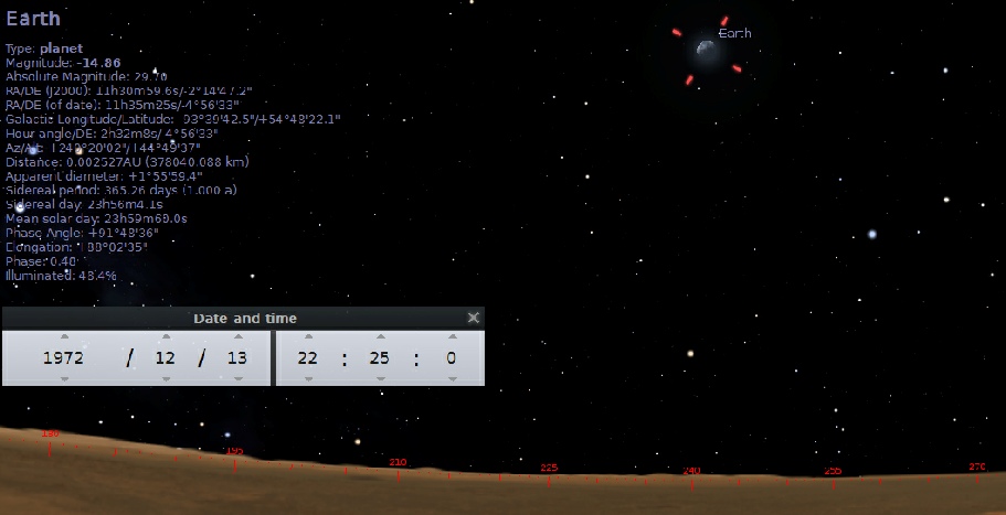
Googling the filename show that is is from Apollo 17 and thus Taurus-Littrow.
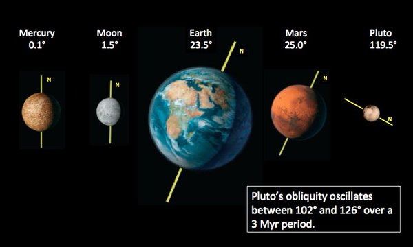
Using astronomy software "stellarium", I found that Earth should be 44-60 degrees above the horizon from Taurus-Littrow, and to be more precise at 45 degrees on december 11-12 1972 during Apollo 17.
I'm no expert on image analysis but Earth should use up about 2 degrees of the field of vision when seen from the moon. Counting how many Earths fit between its position in the image and the horizon, it appears to be about 25 degrees up here, which is indeed too low.
The claim is that Earth appears too low in the sky for image to be real.
What I've found out so far: The link is to a Nasa website and so should not be altered by anyone else.
Googling the filename show that is is from Apollo 17 and thus Taurus-Littrow.
Using astronomy software "stellarium", I found that Earth should be 44-60 degrees above the horizon from Taurus-Littrow, and to be more precise at 45 degrees on december 11-12 1972 during Apollo 17.
I'm no expert on image analysis but Earth should use up about 2 degrees of the field of vision when seen from the moon. Counting how many Earths fit between its position in the image and the horizon, it appears to be about 25 degrees up here, which is indeed too low.
Last edited by a moderator:
")