Does my FE Debunk in this case make sense to you guys?

Tom Binney

New Member
Hey guys, still new to the site (so by all means move/edit/etc this post if it is out of place) and a huge fan of Mick and the length he goes to, especially with practical methods, to debunk or at least point out potential flaws.

Today YouTube suggested a FE video for me entitled "Flat Earth- Debunk THIS!:


Source: https://www.youtube.com/watch?v=_CoEpApTr8Y


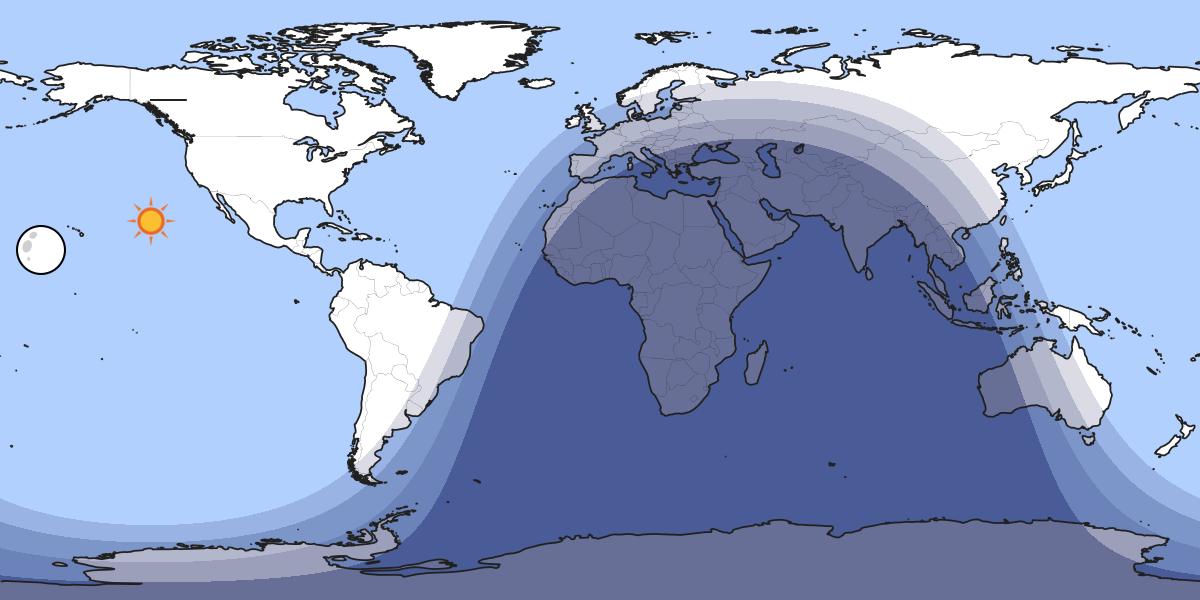
In brief, the YouTuber (who is not the gentleman pictured) is using a day/night cycle map on dateandtime.com to show that the UK and Australia have daylight for at least some part of their day every day, and you can't recreate this on a globe. A challenger then says to pick a few dates and he will prove to the original poster you can. Original poster gives some dates... you get the idea.

I pulled out my globe, a flashlight, an eyepiece lense from my telescope to widen and defuse the flashlight beam a bit and couldn't make it work. Rather than decide OMG, it IS flat, I did a little research and in short below was my posted reply, please let me know if this makes sense to you guys (or if you see any glaring flaws on my part), I was shooting for practical methods over science statements that are just going to be argued with:

So here's my two cents, and I'm not here to defend anyone else, just to point out what I see as a flaw in your method. You are using a generic day/night map that is trying to play out over a flat representation of the actual global earth, it's meant to give a rough idea of day/night but it isn't intended to be 100% accurate.

So here's what I did:

Looked up the westernmost city on the mainland UK, chose Penzance, UK as a good point.
Looked up the easternmost city in Australia, settled on Cape Byron, NSW.

Sunset is going to be 16:22 on December 21, 2017 in Penzance with Civil Twilight at 17:00
Sunrise is going to be at 5:44 on December 22, 2017 in Cape Byron (because it's the next day) with first light coming at around 5:17

Penzance is UTC +0, i.e. its time IS UTC
Cape Byron is UTC +11

When it is 17:00 (or 5 PM) in Penzance at (not quite) last light on December 21, 2017 is will be 4:00 (or 4 AM, the easiest way to think about this is simply 17 + 11 - 24 to do the math) on December 22, 2017 in Cape Byron, NSW and first light won't be fore over an hour with actual sunrise an hour and three quarters away. They will NOT both have daylight at the same time on this day.

Now, both Penzance and Byron Bay, being coastal and touristy, have public webcams you can view online. So I recommend searching them out and having a window open to each the US afternoon of December 21 and see for yourself what happens.
Content from External Source
 
Last edited by a moderator:
Looked up the westernmost city on the mainland UK, chose Penzance, UK as a good point.
Looked up the easternmost city in Australia, settled on Cape Byron, NSW.

Why did you choose the westernmost point of the UK and easternmost point of Australia? The easternmost point of the UK and westernmost point of Australia are closer together.

Penzance, 5.5ºW, to Cape Byron, 153.6ºE, = 159.1 degrees. Lowestoft, 1.7ºE, to Steep Point (Shark Bay), 113.1ºE = 111.4 degrees.

Or in distance terms, Penzance to Cape Byron = 10,596 miles; Lowestoft to Steep Point = 8,519 miles.

Today's sunrise in Carnarvon, Western Australia (near Shark Bay) is at 5:28am (UTC +8), or 9:28pm GMT. Sunset is at 7:06pm, or 11:06am GMT tomorrow morning. Lowestoft's sunrise and sunset times (GMT) tomorrow are 7:50am and 3:39pm, so there is a period of about three and a quarter hours, from 7:50am until 11:06am GMT, when the sun has risen in the UK and is still above the horizon in Western Australia.
 
Last edited:
I pulled out my globe, a flashlight, an eyepiece lense from my telescope to widen and defuse the flashlight beam a bit and couldn't make it work.

Sunlight is essentially parallel, so it illuminates half the globe. Your flashlight does not.

So here's my two cents, and I'm not here to defend anyone else, just to point out what I see as a flaw in your method. You are using a generic day/night map that is trying to play out over a flat representation of the actual global earth, it's meant to give a rough idea of day/night but it isn't intended to be 100% accurate.

So is this what you are debunking, that dateandtime.com is not accurate? An image would be useful.

The terminator can be plotted with some mathematical certainty. Here's a good one:
https://in-the-sky.org/twilightmap.php?town=2643743
20171207-085533-0iu7z.jpg

Compare with:
https://www.timeanddate.com/worldcl...=17&min=00&sec=0&n=4173&ntxt=Penzance&earth=0
20171207-085916-05mf7.jpg

So I'd say Timeanddate.com seems to use the standard calculations. So I'm really unclear what the problem is.
 
Just looking at the globe in Google Earth (or a physical globe) shows you that both the UK and parts of Australia can be sunlit at the same time (and this is a view from closer than the sun, so it won't even be showing as much of the globe as the sun can "see").

You_Doodle_2017-12-07T17_02_14Z.jpg
 
Why did you choose the westernmost point of the UK and easternmost point of Australia? The easternmost point of the UK and westernmost point of Australia are closer together.

Penzance, 5.5ºW, to Cape Byron, 153.6ºE, = 159.1 degrees. Lowestoft, 1.7ºE, to Steep Point (Shark Bay), 113.1ºE = 111.4 degrees.

Or in distance terms, Penzance to Cape Byron = 10,596 miles; Lowestoft to Steep Point = 8,519 miles.

I haven't worked it out but I would assume that there is daylight at both Lowestoft and Steep Point at the same time for at least some of each day.

In the video the original poster is mostly showing an overnight cycle, so I picked the point in the UK that would have the latest daylight and the part of Australia that would have the first sunlight for the date he gave. Basically I was trying to match what he was displaying. And yes, you are probably right, since Lowesoft is +8 UTC; I actually started off going from the closest points, but picked the furthest since it matched what he shows around the 1:16 mark, with Western UK in last light and Eastern AU in first light on December 21 2017; based on what I think sunset in UK and sunrise in AU should be on that (those) days, I don't think what he's showing is going to be a reality, and if he's wrong from that point I think his argument falls apart from there.

That said, thanks for the input, it's exactly the kind of thing I'm looking for =)
 
Just looking at the globe in Google Earth (or a physical globe) shows you that both the UK and parts of Australia can be sunlit at the same time (and this is a view from closer than the sun, so it won't even be showing as much of the globe as the sun can "see").

You_Doodle_2017-12-07T17_02_14Z.jpg

But, try and make that work for the dates he mentioned with axis tilt/seasonal sun. I didn't have the best set up for it, but on my globe a summer morning in AU and a winter evening in the UK (to match what his flat map representation is showing), or even vice versa, didn't get both lit. It was very close, for the latter, but the UK was always just around the corner.
 
Just looking at the globe in Google Earth (or a physical globe) shows you that both the UK and parts of Australia can be sunlit at the same time (and this is a view from closer than the sun, so it won't even be showing as much of the globe as the sun can "see").

Physical globe from the sun's POV, about 80 feet away
20171207-091923-bggjd.jpg

This is roughly simulating Dec 21st. Eastern Australia is visible. The UK is also there, but it's at a shallow angle, so is lost in the glare.
 
You could also go to timeanddate.com and set the time for June 21st at 22.00 hours. Most of Scotland, Ireland and eastern Australia are in sunlight at that time and date.

 
Around the 1:33 mark is where he says "which clearly shows that every day of every year, when the United Kingdom is going into darkness, the sun is rising in Australia." This is what I focused on and why I picked Western UK, Eastern AU and the expected times for sunset/sunrise, which I believe for one of the dates he supplied (December 21, 2017) will be well over an hour apart.

I'm not trying to prove a globe earth is correct so much as trying to prove his assertion based on an infographic is flawed.
 
In the video the original poster is mostly showing an overnight cycle, so I picked the point in the UK that would have the latest daylight and the part of Australia that would have the first sunlight for the date he gave. Basically I was trying to match what he was displaying.
Well, this was the trick. Even the most distant parts of the UK and Australia are less than 20,000 km apart, that is, the two countries are actually on the same side of the globe, not at the opposite ends of it. When the Sun over that side, both countries could be sunlit, although not all parts of them at the same time.
 
Essentially, The Bloody Truth (TBT from now on) has, over a few videos, asserted that the globe model is 'wrong' because he can't simulate what he sees on timeanddate with his globe in his front room.

Many, many contributors in the comment threads on his YT videos have pointed out where he's going wrong. He uses a light source which isn't to scale. Where astronomical twilight is defined as the sun being more than 18 degrees below the horizon (not 18 degrees of Earth rotation) he rotates his globe by an approximation of 18 degrees.

etc

etc
 
Which infographic exactly? Please post it.

What he's displaying at the the 1:33 mark of his video. I believe the graphic showing the terminators doesn't match the sunrise sunset times for the locations I picked (Penzance UK and Cape Byron AU) listed on the same site (timeanddate.com) for December 21, 2017. Which is why I believe there is a flaw in looking at a generalized day/night terminator map on a flat earth representation over what is actually observed in each location on that date. I believe them to be fairly accurate, but when you flatten the globe, and scale it down for easy screen viewing, I believe compromises are going to occur.
 
You could also go to timeanddate.com and set the time for June 21st at 22.00 hours. Most of Scotland, Ireland and eastern Australia are in sunlight at that time and date.


Oh, I'm not trying to say it never happens, not at all. He says at ~1:33 in the video that sunset in the UK ALWAYS happens while Sunrise in AU is happening. Now I chose to limit myself to mainland UK (i.e. not including N.Ireland) and picked a day he specified (December 21, 2017 in the UK) and show that Sunset is happening more than hour before sunrise in AU.
 
What he's displaying at the the 1:33 mark of his video. I believe the graphic showing the terminators doesn't match the sunrise sunset times for the locations I picked (Penzance UK and Cape Byron AU) listed on the same site (timeanddate.com) for December 21, 2017. Which is why I believe there is a flaw in looking at a generalized day/night terminator map on a flat earth representation over what is actually observed in each location on that date. I believe them to be fairly accurate, but when you flatten the globe, and scale it down for easy screen viewing, I believe compromises are going to occur.

I don't see why that would be the case. What's the compromise? Sorry if I'm being dim, but I still don't see a particular image that would not be matched perfect by on-the-ground observations.
 
https://in-the-sky.org/twilightmap.php?town=2643743

It gives the same results as timeanddate.com.

Awesome, thank you sir!

So:
upload_2017-12-7_12-3-2.png

The orange marker is Penzance, UK on December 21, 2017 at 5:00pm, what is listed for Civil Twilight and after sunset by almost 40 minutes, Australia still pretty much in the dark with actual sunrise over an hour away for Cape Byron (which is north of where the dark blue "night/astronomical twilight" line hits Australia.
 
On a more general note, there's a fundamental problem with using a flashlight which is too close to the globe. A better solution is to use the sun. You have to angle it so the sunlight is parallel to the base.
20171207-101653-5rkh4.jpg

Then with the axis pointing away from the sun you have a Dec21 simulator. You can just see the UK there, in sunlight
20171207-101858-w2rn2.jpg

Going over the top you can see Western Australia.
20171207-101940-bf7ar.jpg

Which is the same as this:
20171207-102251-z6nas.jpg


Source: https://www.youtube.com/watch?v=KCHMuD5ySo4
 
Last edited:
I don't see why that would be the case. What's the compromise? Sorry if I'm being dim, but I still don't see a particular image that would not be matched perfect by on-the-ground observations.

No, no, no, you are absolutely not being dim. This is exactly the kind of input I'm looking for to help me critically think/explain/reason better and I really do appreciate your time and input. The things you come up with blow me away sometimes.

I misspoke (or more like interpreted poorly) and I *think* (and this is where being vague with terms really leaves things dangling) that the original YouTube poster is looking at this (which is at 1:18 of his video):

upload_2017-12-7_12-25-0.png

and counting any of the shaded areas as "still day" per his comment at 1:33 that "clearly shows that every day of every year when the United Kingdom is going into darkness, the sun is rising in Australia." But what I see here is that all of the UK except N. Ireland is in Astronomical Twilight, meaning it's not dead of night dark, but the sun is at least 12 degrees below the horizon. Only the tiniest sliver of Australia is in anything other than Astronomical twilight or actual night. The UK is IN darkness, and the sun is NOT yet rising in Australia. It will of course, and soon, but it isn't yet.

I may have to repost there and ask him to more clearly define his terms like "going into darkness" and "sun is rising", i.e. is it going into darkness until it can't get darker or does needing headlights to drive count, is the sun rising when the eastern sky is a slightly lighter blue, purple red, or when you can see the tip of it on the horizon?

Since his claim is that this happens every day and you "can't show it on a globe", my only real goal is to show it he may be wrong about it happening every day, so showing it on a globe isn't even necessary. It's also why I suggested he find live outdoor video feeds from these locations and see for himself.

On that note however, I'm up 4 hours past my bedtime and need to get some sleep. I look forward to reading the rest of this later.
 
Hi there all, this is my first comment on this site.

I just wanted to address a small misunderstanding that is happening within the comments on this thread.

Trailblazer asked why Tom Binney chose the westernmost point of UK and easternmost point of Australia.
Trailblazer then posted a google earth image which shows UK and Australia on the same side of the globe.
Mick West went on to show a great demonstration with his glove and the sunlight.

Now the misunderstanding here is that the YouTube video shows terminator charts with North and South America facing the sun. This is very important.

The creator of the OP video is specifically talking about sunset in the UK and sunrise in Australia, which is the answer to Trailblazers comment asking why Tom chose the western and eastern parts of the countries. The image Trailblazer posted, shows Africa experiencing day, however in the OP video, he is referring to the time period where Africa is experiencing night.

In Mick West's example, he too has the Americas in darkness. He also posted a terminator chart matching his globe demonstration, but not matching the OP video.

Having said all of this, I think the OP video probably comes down to a combination of three things:
-A misunderstanding of sunset; and civil, nautical and astronomical twilight/dawn*.
-A misunderstanding of sunset times and actual sun position due to refraction**.
-Possible experimental flaws, specifically with the non parallel sunlight and the accuracy of the globe being used.

*At the December solstice, both western UK and eastern Australia are both in astronomical twilight/dawn, not daylight. Astronomical twilight/dawn occurs approximately 1 hour after/before the sun has set/risen as viewed from Earth.
**Near to the horizon, atmospheric refraction causes the ray path of light from the Sun to be distorted to such an extent that geometrically the Sun's disk is already about one diameter below the horizon when a sunset is observed.
 
I think the OP video probably comes down to a combination of three things:
-A misunderstanding of sunset; and civil, nautical and astronomical twilight/dawn*.
-A misunderstanding of sunset times and actual sun position due to refraction**.
-Possible experimental flaws, specifically with the non parallel sunlight and the accuracy of the globe being used.
Very good.

Also to point out that the maker of the video in the OP (TheBloodyTruth) has posted a follow-up video where he debunks himself after realising where he went wrong:


Source: https://www.youtube.com/watch?v=I0YYpsnvNNI
 
Back
Top