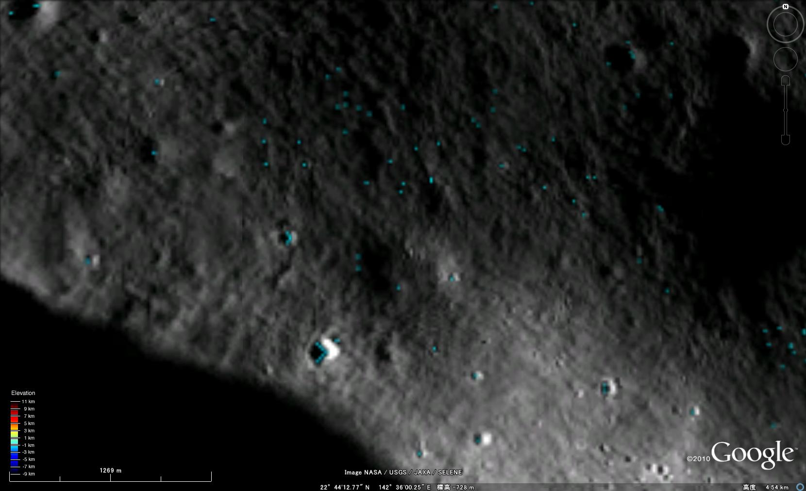
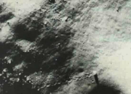
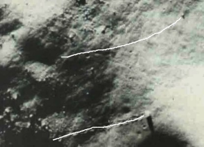
In Google Earth , at 22°42'38.46"N 142°34'44.52"E on the Moon, we see this strange image:
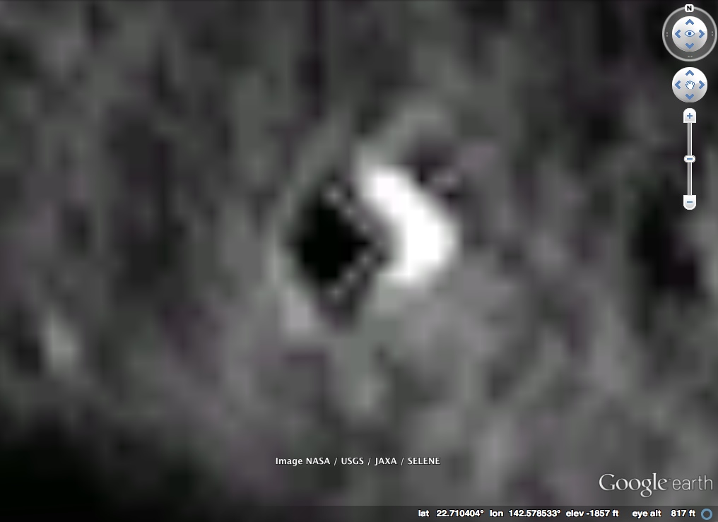
Now in isolation this looks a little suspicious,. Seven dots forming a perfect V shape. But look around at the surrounding area, look at all the vertical and horizontal areas. Notice how they all line up in a grid.
What we are seeing here are individual pixels from a low resolution image, which have been greatly enlarged and filtered in a way that gives this grid-like effect. All it took was a few pixels in the right place to give this effect.
But it's a little more complex than that. These pixels don't even appear in the original image.
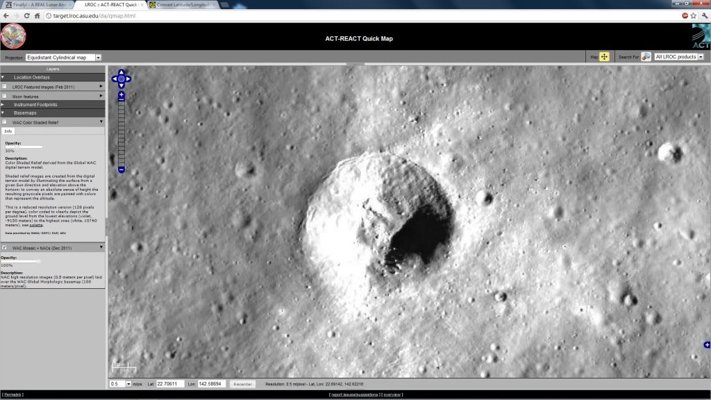
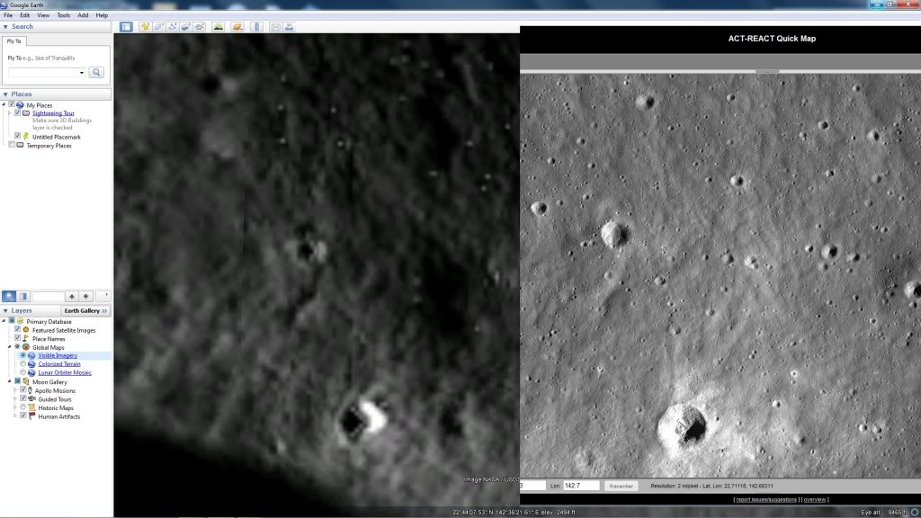
Look at the image closer to its original resolution by zooming out:
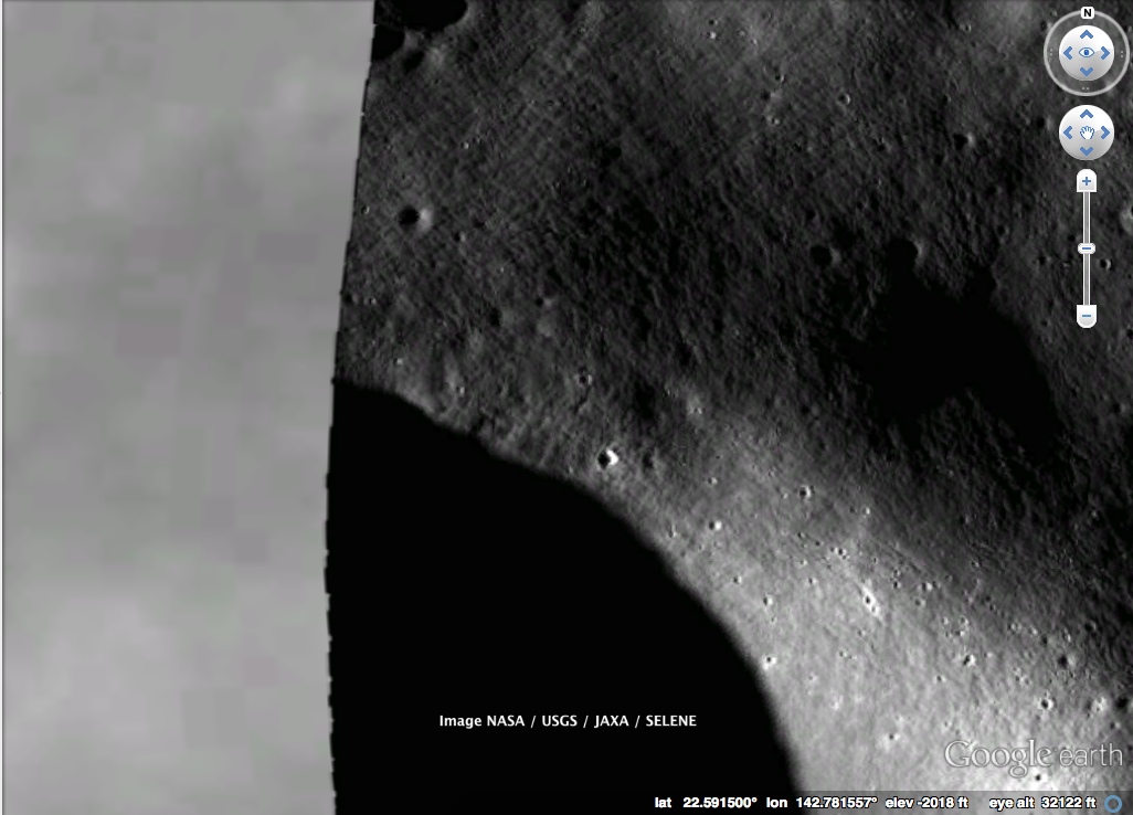
If we use an unfiltered zoom on this, we see this:
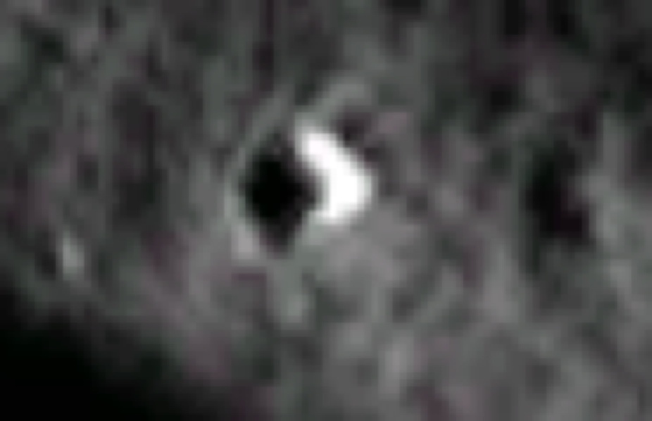
Notice the seven dots are not there.
But, if we zoom in a little more on Google Earth, we see:
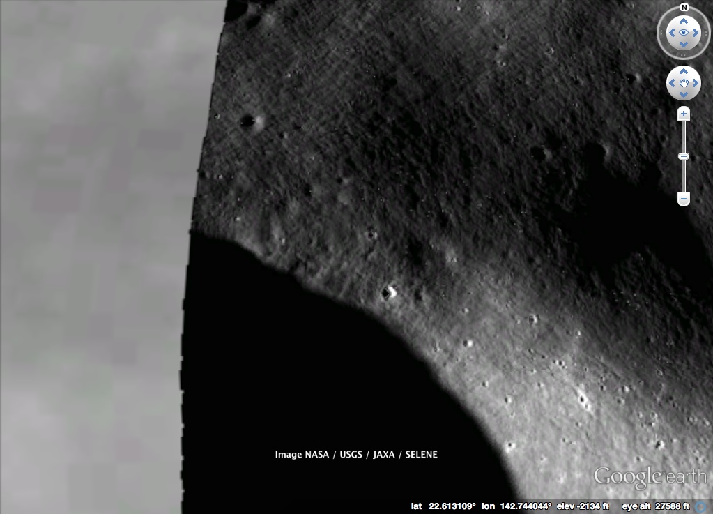
Note you can now see the dots. If you zoom in on that, you see:
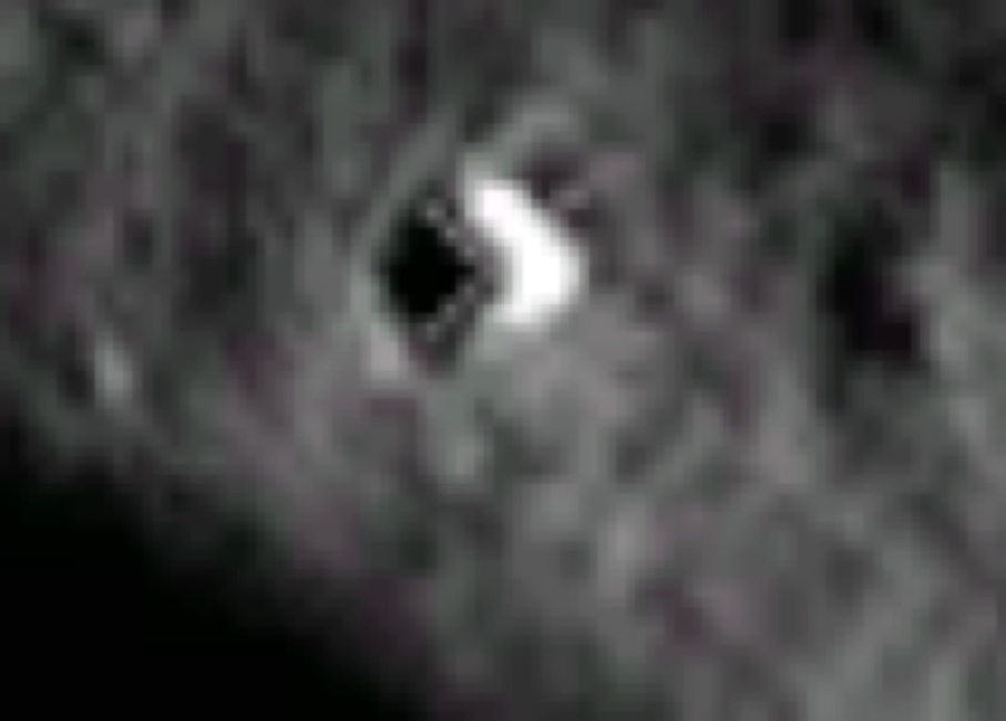
Why can we suddenly see these dots when the zoom has changed slightly? Not only that, but a whole bunch of other dots has suddenly appeared scattered all over the image.
The answer is that Google stores multiple resolution image tiles, and uses a different set of tiles depend on how much you are zoomed in. Here it is just switching from one set to another. While both set of a tiles are derived from the same image, the higher resolution tiles (used when more zoomed in) have some filters applied to them, to make them seem sharper. Unfortunately it seems these sharpening filters have created some noise along the boundaries between light and dark regions, and that is what has created these dots.
Why is it a perfect triangle? Just luck. There are tens of thousands of craters on the moon, and only a few possible configurations of dots around the edge at this resolution. Some of them are bound to have a more geometric shape than others.
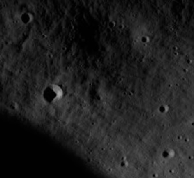
Look at these nearby craters, where we are not zoomed in enough to see the artifacts:
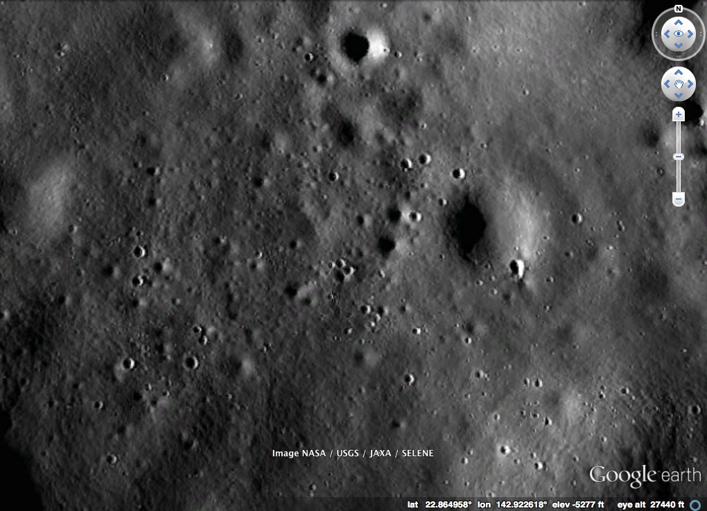
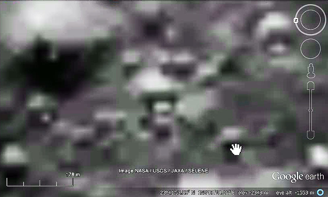
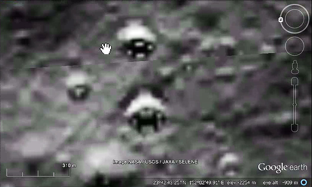
Then zoom in slightly:
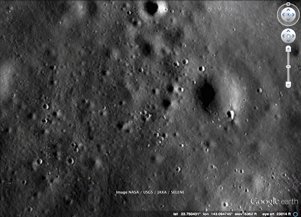
Notice the dots suddenly appearing inside all the craters? That's the exact same thing. Notice a few of them are in lines. It's just random. If you look around for a while, you can probably find some even more interesting examples. But it's just a few random pixels from a poor choice of image sharpening algorithm.
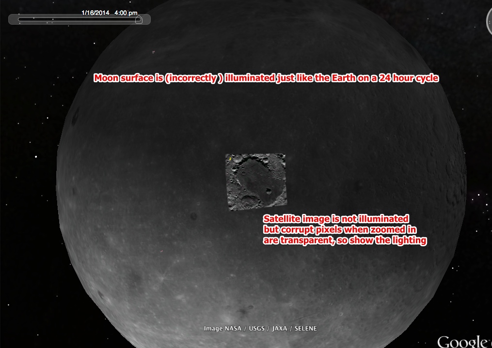
The bad pixels also appear to be transparent. What we are looking at here is a photo overlay. Photo overlays are not affected by the lighting system that Google Earth uses to simulate sunlight. However the surface of the moon IS illuminated. It's done incorrectly on a 24 hour cycle, basically because they just re-use the lighting system for Earth. It's not really a solar-system simulator.
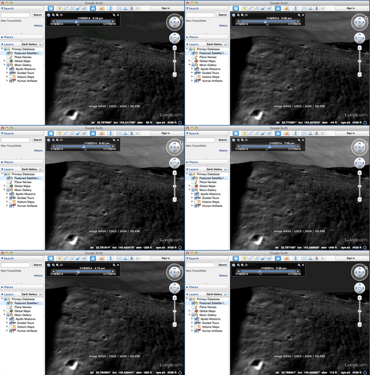
Here you can see the illuminated surface of the moon through the partially transparent corrupt pixels as the time is altered in Google Earth (note you have to turn on the "Show Sunlight" option to get this slider).
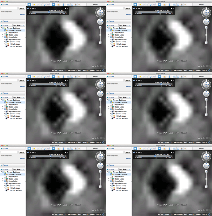
In the animation below, the triangle is in the lower left, and I've tilted the view so you can see a large area of lunar surface in the background. Also notice all the other dots doing the same thing.
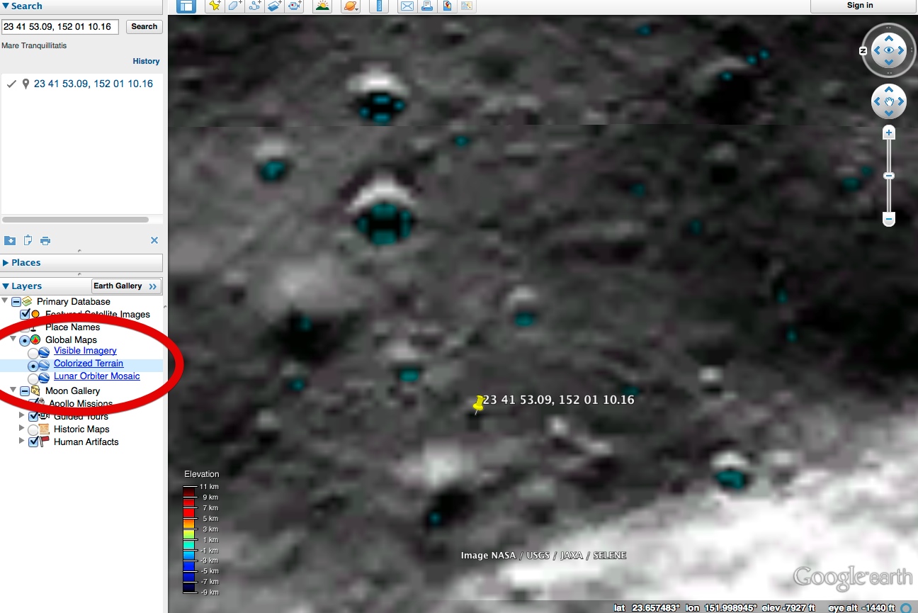
We can prove it's transparent, and not actually lighting the pixels by adding a polygon underneath the image overlay:
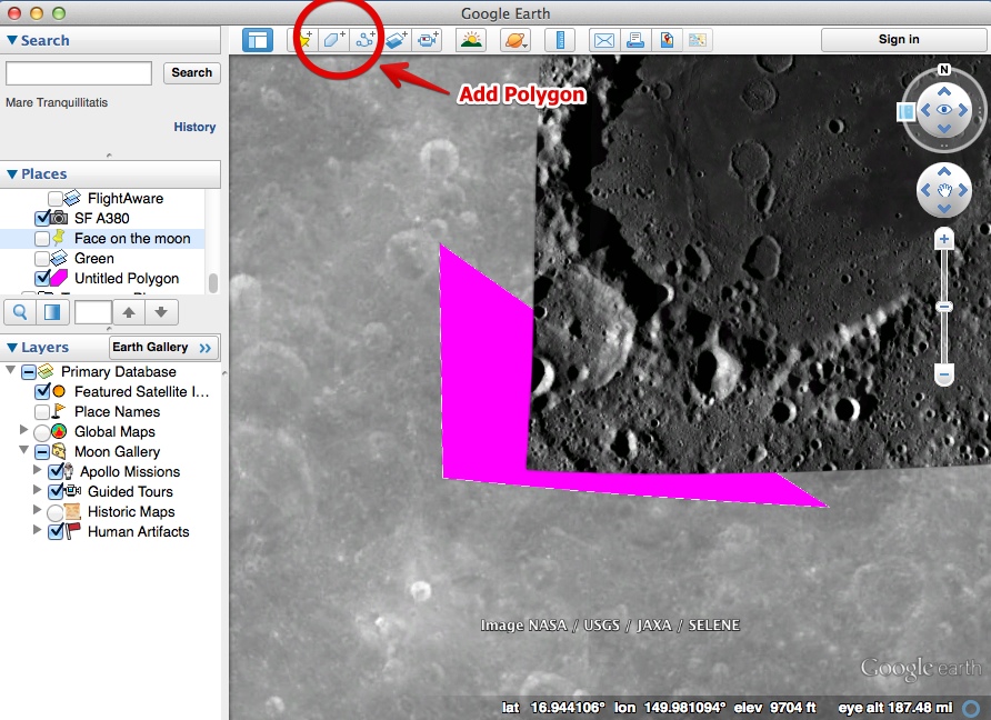
Then when you zoom in, you get:
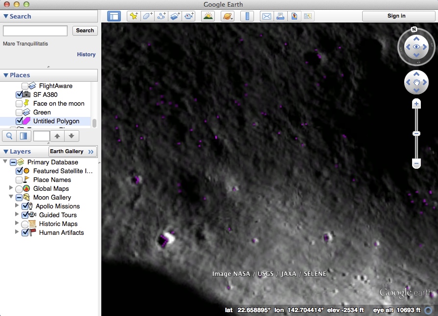
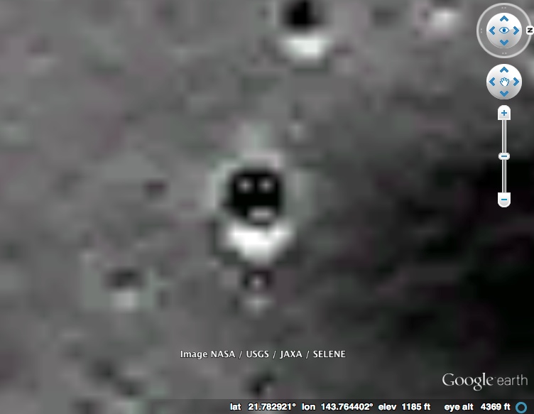
This highlighting of the pixels makes them much easier to see, so we can look for other interesting accidental patterns. Here's a face, at 21.764747,143.748972
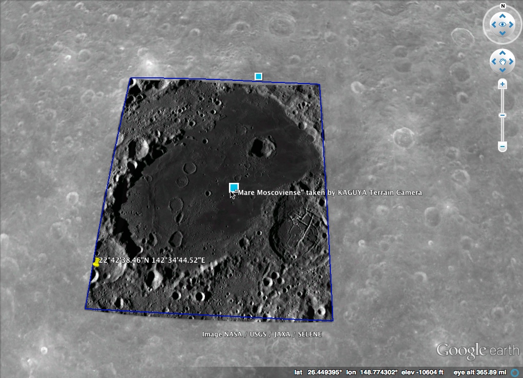
The original image overlay comes from the Japanese SELENE "Kaguya" satellite
http://solarsystem.nasa.gov/multimedia/display.cfm?Category=Planets&IM_ID=15543
------------------------------------------------------------------------------
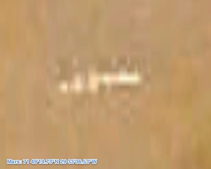
You might also be interested in a similar debunking of an image artifact on Mars:
https://www.metabunk.org/threads/debunked-alien-base-on-mars-bio-station-alpha.166/

Now in isolation this looks a little suspicious,. Seven dots forming a perfect V shape. But look around at the surrounding area, look at all the vertical and horizontal areas. Notice how they all line up in a grid.
What we are seeing here are individual pixels from a low resolution image, which have been greatly enlarged and filtered in a way that gives this grid-like effect. All it took was a few pixels in the right place to give this effect.
But it's a little more complex than that. These pixels don't even appear in the original image.
Look at the image closer to its original resolution by zooming out:

If we use an unfiltered zoom on this, we see this:

Notice the seven dots are not there.
But, if we zoom in a little more on Google Earth, we see:

Note you can now see the dots. If you zoom in on that, you see:

Why can we suddenly see these dots when the zoom has changed slightly? Not only that, but a whole bunch of other dots has suddenly appeared scattered all over the image.
The answer is that Google stores multiple resolution image tiles, and uses a different set of tiles depend on how much you are zoomed in. Here it is just switching from one set to another. While both set of a tiles are derived from the same image, the higher resolution tiles (used when more zoomed in) have some filters applied to them, to make them seem sharper. Unfortunately it seems these sharpening filters have created some noise along the boundaries between light and dark regions, and that is what has created these dots.
Why is it a perfect triangle? Just luck. There are tens of thousands of craters on the moon, and only a few possible configurations of dots around the edge at this resolution. Some of them are bound to have a more geometric shape than others.
Look at these nearby craters, where we are not zoomed in enough to see the artifacts:

Then zoom in slightly:

Notice the dots suddenly appearing inside all the craters? That's the exact same thing. Notice a few of them are in lines. It's just random. If you look around for a while, you can probably find some even more interesting examples. But it's just a few random pixels from a poor choice of image sharpening algorithm.
The bad pixels also appear to be transparent. What we are looking at here is a photo overlay. Photo overlays are not affected by the lighting system that Google Earth uses to simulate sunlight. However the surface of the moon IS illuminated. It's done incorrectly on a 24 hour cycle, basically because they just re-use the lighting system for Earth. It's not really a solar-system simulator.
Here you can see the illuminated surface of the moon through the partially transparent corrupt pixels as the time is altered in Google Earth (note you have to turn on the "Show Sunlight" option to get this slider).

In the animation below, the triangle is in the lower left, and I've tilted the view so you can see a large area of lunar surface in the background. Also notice all the other dots doing the same thing.

We can prove it's transparent, and not actually lighting the pixels by adding a polygon underneath the image overlay:

Then when you zoom in, you get:

This highlighting of the pixels makes them much easier to see, so we can look for other interesting accidental patterns. Here's a face, at 21.764747,143.748972

The original image overlay comes from the Japanese SELENE "Kaguya" satellite
http://solarsystem.nasa.gov/multimedia/display.cfm?Category=Planets&IM_ID=15543

------------------------------------------------------------------------------
You might also be interested in a similar debunking of an image artifact on Mars:
https://www.metabunk.org/threads/debunked-alien-base-on-mars-bio-station-alpha.166/

Last edited:

